A snow showery day.
15th January 2018
Last night the freezing level briefly went above summit level with some rain at all levels. It then dropped down again being around 600 metres through the day. This has left the surface of the snowpack with an icy crust, which in places was breakable, in other places was not.
It was a day of snow showers and Westerly winds. Areas of fresh windslab were forming through the day. These areas were not yet very extensive. However, with colder temperatures, more snow showers and continuing Westerly winds, some more substantial areas of windslab are expected to accumulate.
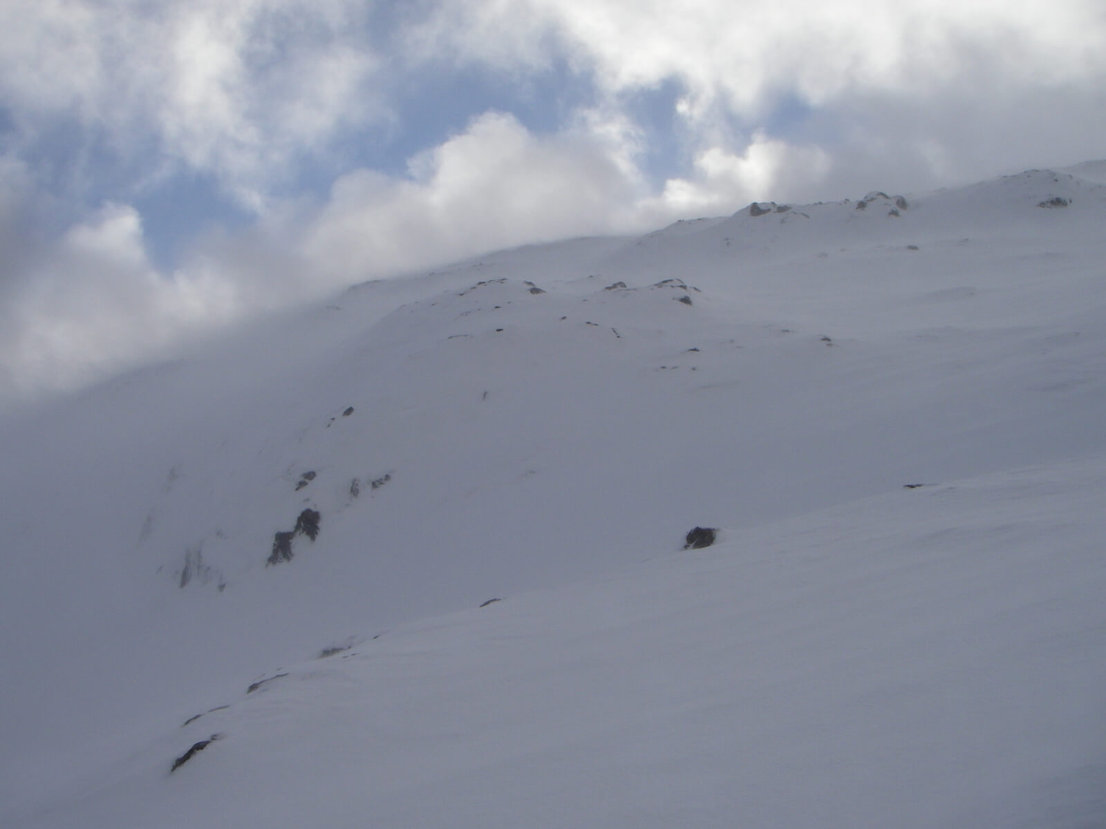
A brief view of some blue sky. However, plenty of spindrift blowing about.
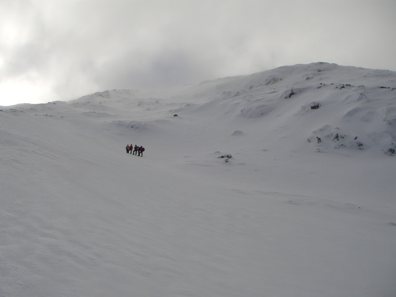
A team out and about. Reasonable snow cover!
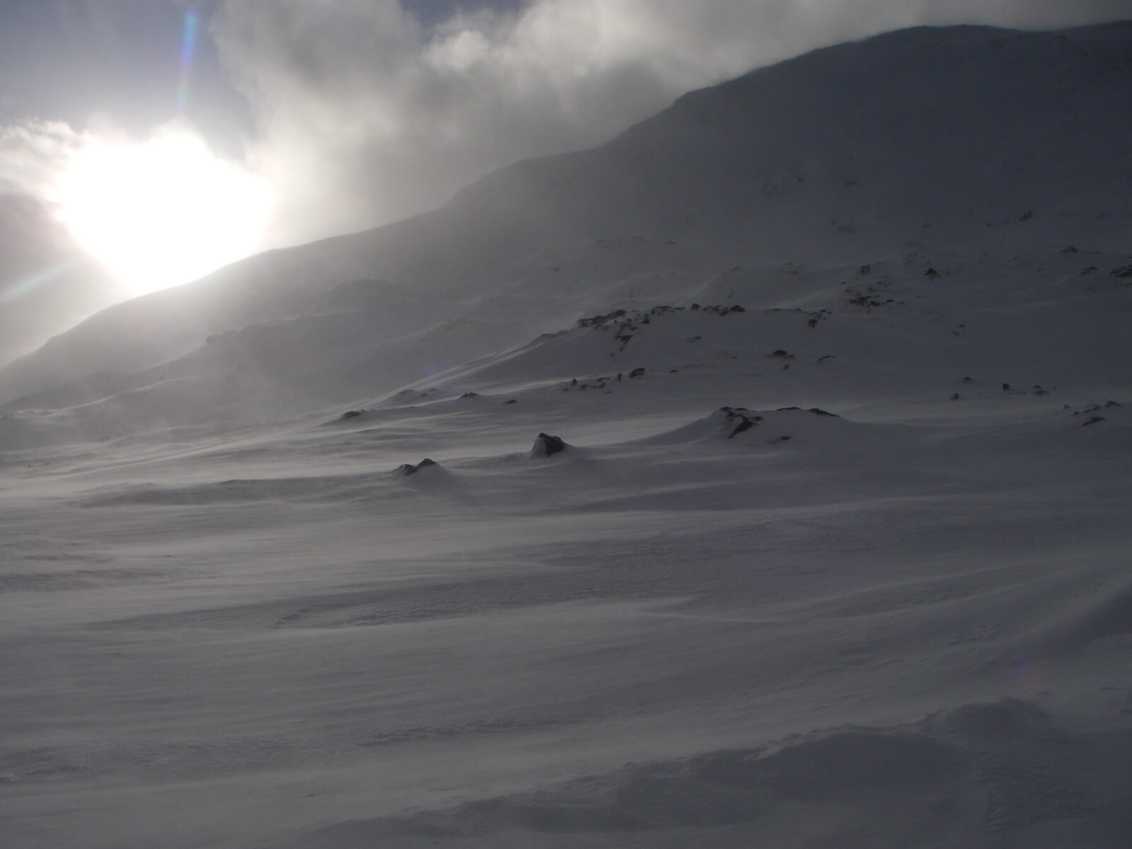
Between showers, but the spindrift continues.
Comments on this post
Got something to say? Leave a comment


