Frosty start – then flat white light
5th February 2019
Overnight, a frost at all levels the freezing level then slowly rose during the day to near summit levels. It was a dry morning followed by some light precipitation which fell as snow at first above 800 metres, then sleet/rain later in the afternoon. The winds were fresh from a Southerly direction. Tomorrow there’s a change a foot and the snowpack will become moist at all levels during the night and early hours of the morning leading to wet snow instabilities on steeper slopes and cornice collapses. The snowpack consolidating as the freezing level lowers again in the day. New accumulations of windslab will form in sheltered locations, with the greatest deposits on North-West through North to East aspects mainly above 850 metres with gully exits and steep corrie headwalls particularly affected. The avalanche hazard will be Moderate.

Looking across to Stob Ghlais Choirs then Buachaille Etive Mor with Ben Nevis in the distance

Looking down to Creag Dubh with Rannoch Moor beyond

Avalanches noted yesterday in Stob Coire nan Lochan after solar warming – thanks to Dave Rudkin for sending the reports
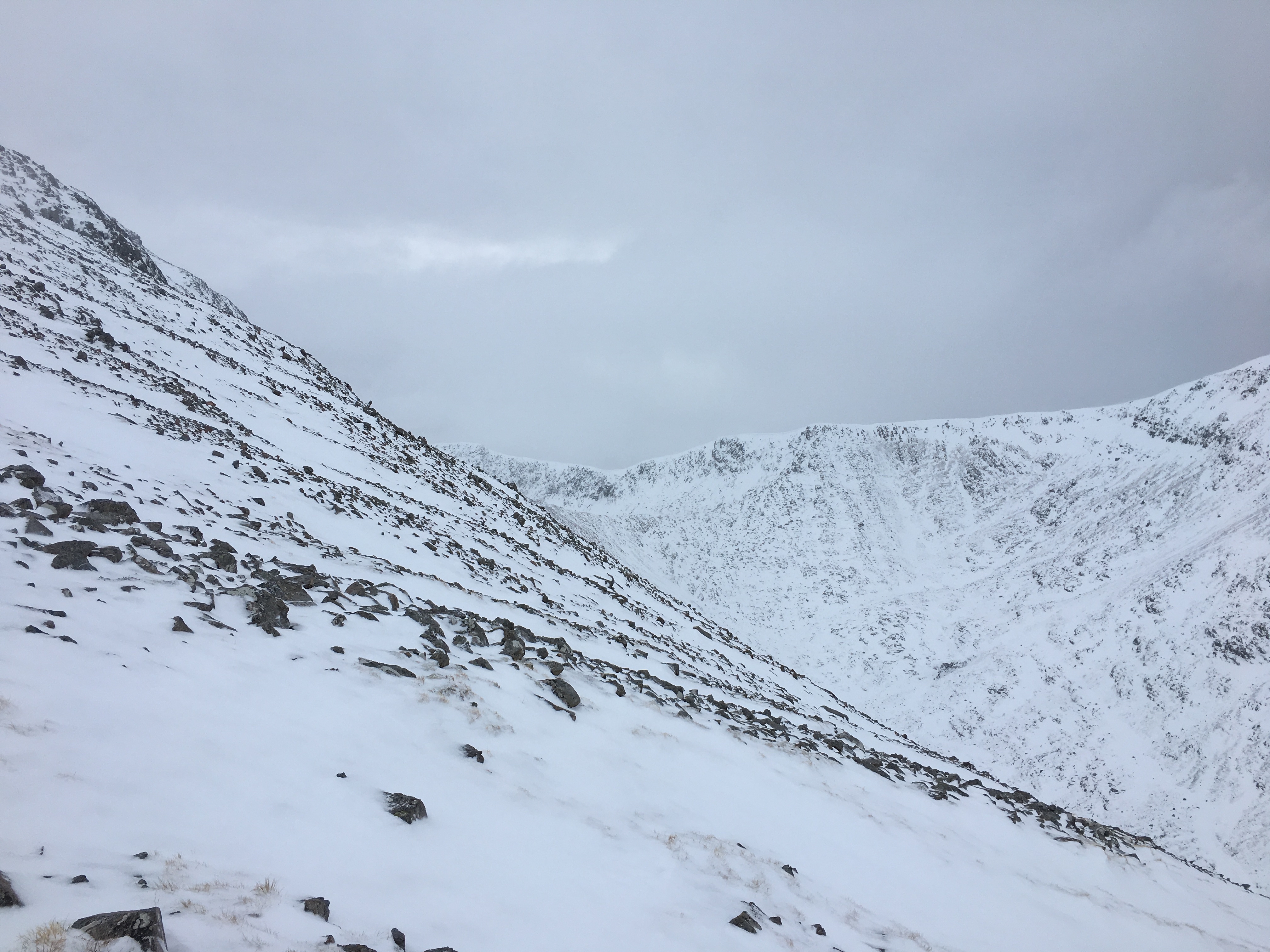
The rocky westerly slopes of Meall a Bhuiridh at 940 metres looking into Cam Ghleann and the easterly slopes of Sron an Creise

Northerly aspects of Buachaille Etive Mor
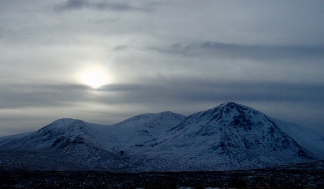
Meall a Bhuiridh and Sron na Creise
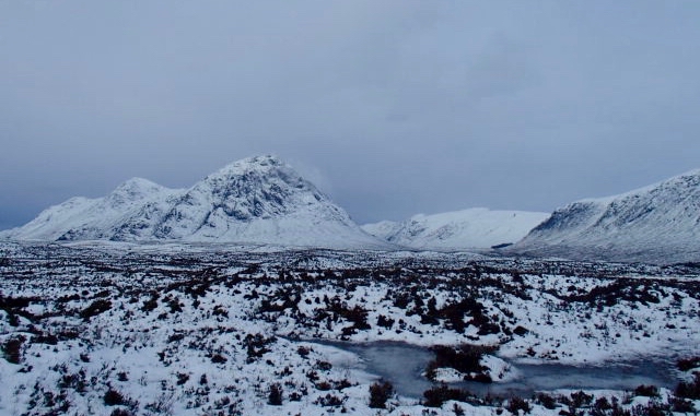
Buachaille Etive Mor with Glen Coe beyond.
Comments on this post
Got something to say? Leave a comment


