Sunshine then more snow……
22nd January 2021
Covid -19
The Scottish Avalanche Information Service issues information to support permitted activity under current Scottish Government guidance.
Please be aware of current mandatory travel restrictions in Local Authority areas within Scotland and respect local communities by referring to Scottish Government guidance and safe route choices for exercise.
This blog is intended to provide hazard and mountain condition information to help plan safer mountain trips.
After some overnight and early morning snow showers it was a bright, dry morning, snow showers returned again in the afternoon falling to sea level. The winds were fresh, initially from the West-North-West then backing to become South-Westerly. The freezing level was around 450 metres. Areas of weakly bonded windslab are present in steep sheltered locations with the greatest accumulations mainly on North-East to South-Easterly aspects above 800 metres. Other aspects have localised instabilities on steeper slopes. Areas particularly affected are wind sheltered locations, gullies, steep coire headwalls, gully exits and scarp slopes. Cornices are soft and fragile.
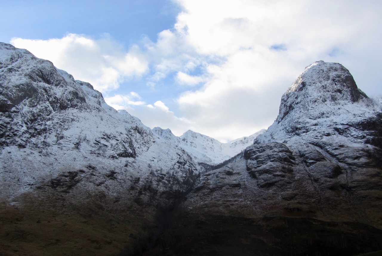
Looking into Coire Gabhail with Beinn Fhada on the left and Gearr Aonach on the right. Stob Coire Sgreamhach the pointed peak at the back of the coire.
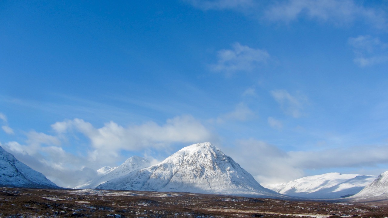
Buachaille Etive Mor.

The Aonach Eagach Ridge.
Comments on this post
Got something to say? Leave a comment


