Fresh snow
27th March 2021
Covid -19
The Scottish Avalanche Information Service issues information to support permitted activity under current Scottish Government guidance.
Please be aware of current mandatory travel restrictions in Local Authority areas within Scotland and respect local communities by referring to Scottish Government guidance and safe route choices for exercise. For further guidance please refer to the following information for hillwalkers and climbers and snowsports on ski and board.
This blog is intended to provide hazard and mountain condition information to help plan safer mountain trips.
There was fresh snow to around 300 metres first thing this morning, snow showers cleared to give a clear day with moderate West-South-Westerly winds. Windslab accumulations have continued to develop on mainly North through East to South-East aspects above 850 metres. Debris from a cornice collapse triggered avalanche was noted on an Easterly aspect.
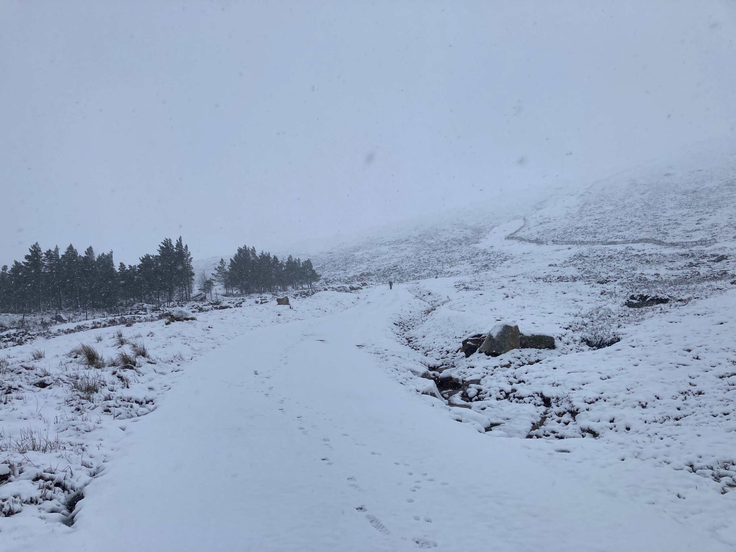
Snow leaving the car park at the ski area this morning. This was already melting by my return later in the day.
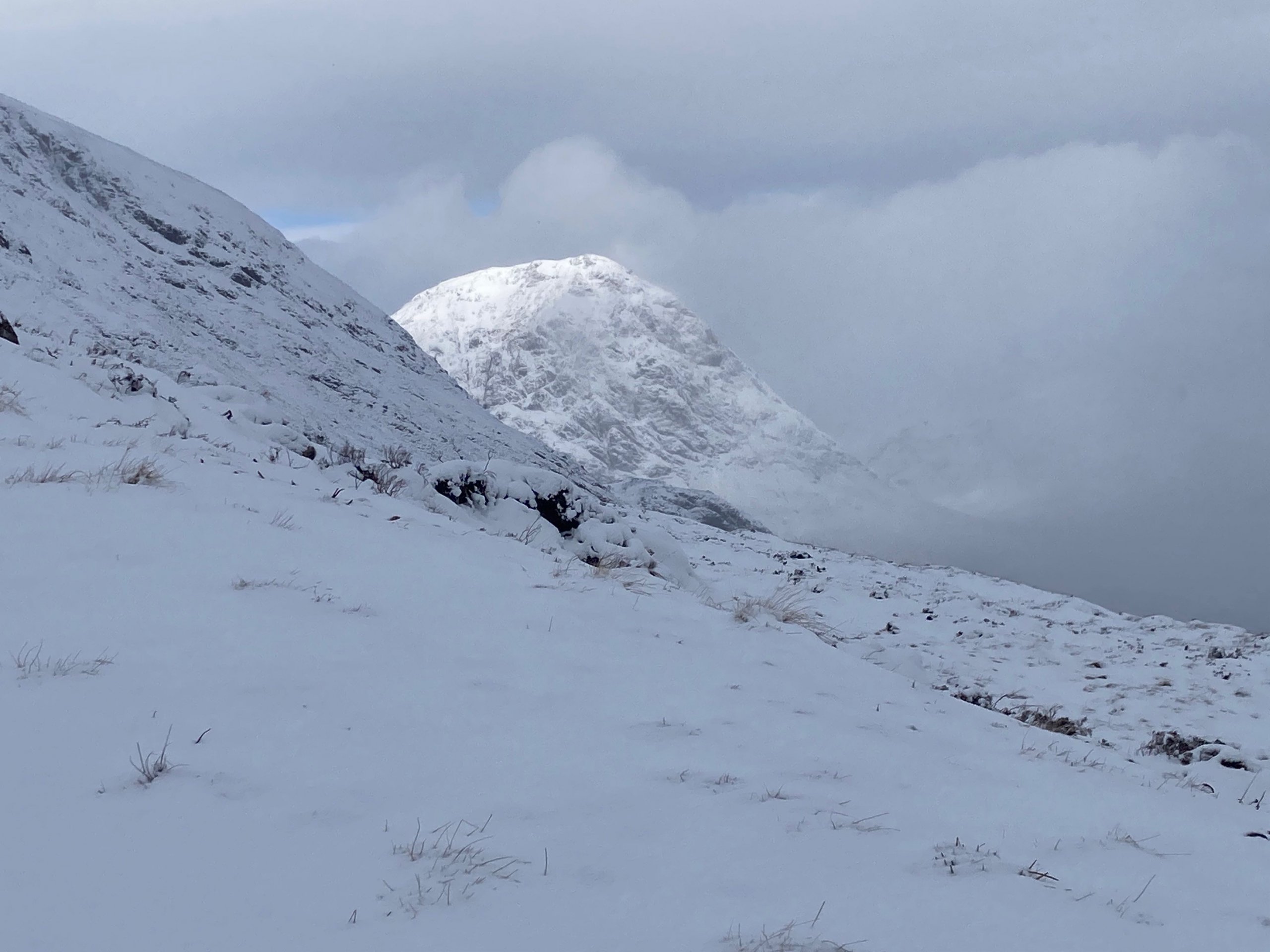
A view of Buachaille Etive Mor as the clouds started to clear this morning.
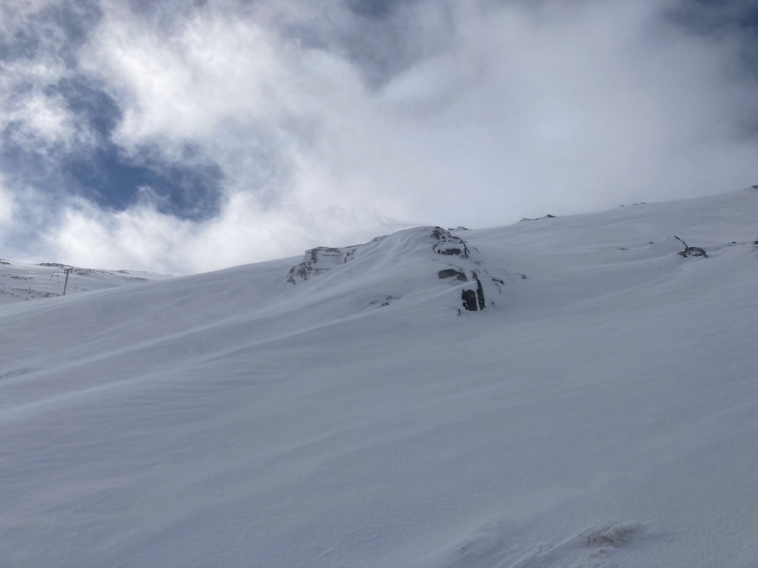
Windslab accumulations continuing to develop in wind sheltered areas at around 1000 metres as snow is redistributed in the moderate West-South-Westerly winds.
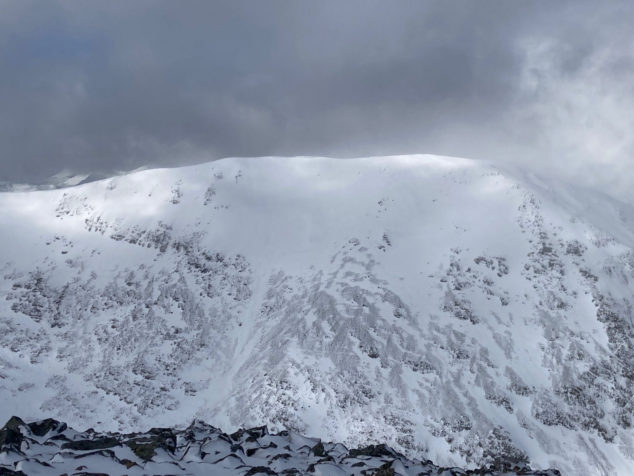
Looking towards Creise where there is debris from a cornice collapse triggered slab avalanche. Debris in the centre of the shot, avalanche started where the gap in the cornice is, hard to see in this shot, unfortunately.

A view into Stob Coire nan Lochan,
Comments on this post
Got something to say? Leave a comment


