Snow Day.
22nd January 2013
The snow that the rest of the country seems to be have recently arrived in Glen Coe today. A fair bit must have fallen last night, and it continued through most of the day. The combination of fresh soft windslab, older hard windslab, and the very old and firm ice snow, each of which is not particularly well bonded to the others, has created a complex and variable snowpack at the moment. Take care if you are planning to be out and about over the next couple of days.
Visibility was poor so no great landscape pictures I am afraid.
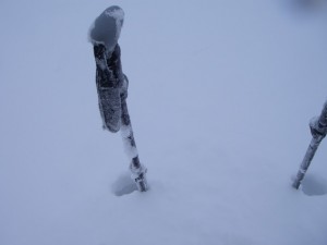
I found some big deep drift of fresh snow, over a metre in this location. There were also some very fresh weak cornices along the side of a shallow gully line.
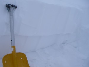
A quick stability test found the fresh deposits of soft windslab easily sheared off the older harder windslab deposits formed by the high winds last Thursday/Friday.
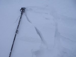
The older harder windslab is also not well bonded to the underlying snow-ice. When walking back down this drift of the older windslab cracked and slid out from around my feet easily, and that was on a very easy angled slope.
Snow building up at about 500 metres where visibility was a bit better. This is that icefall which was pictured in the blog last Wednesday (16th). Most of the new snow has fallen in the past 24 hours.
Comments on this post
Got something to say? Leave a comment


