Lingering clouds
7th April 2017
Much the same as yesterday, some light isolated rain/drizzle with summits generally engulfed with clouds. Summit temperature at mid-day @ 1100 metres was minus 0.1 degrees celsius with fresh (20mph) winds from the South-West.

Achnambeithach cottage below Stob Coire nam Beith

Defined cloud level on Sgorr nam Fiannaidh. Glen Coe on the right.
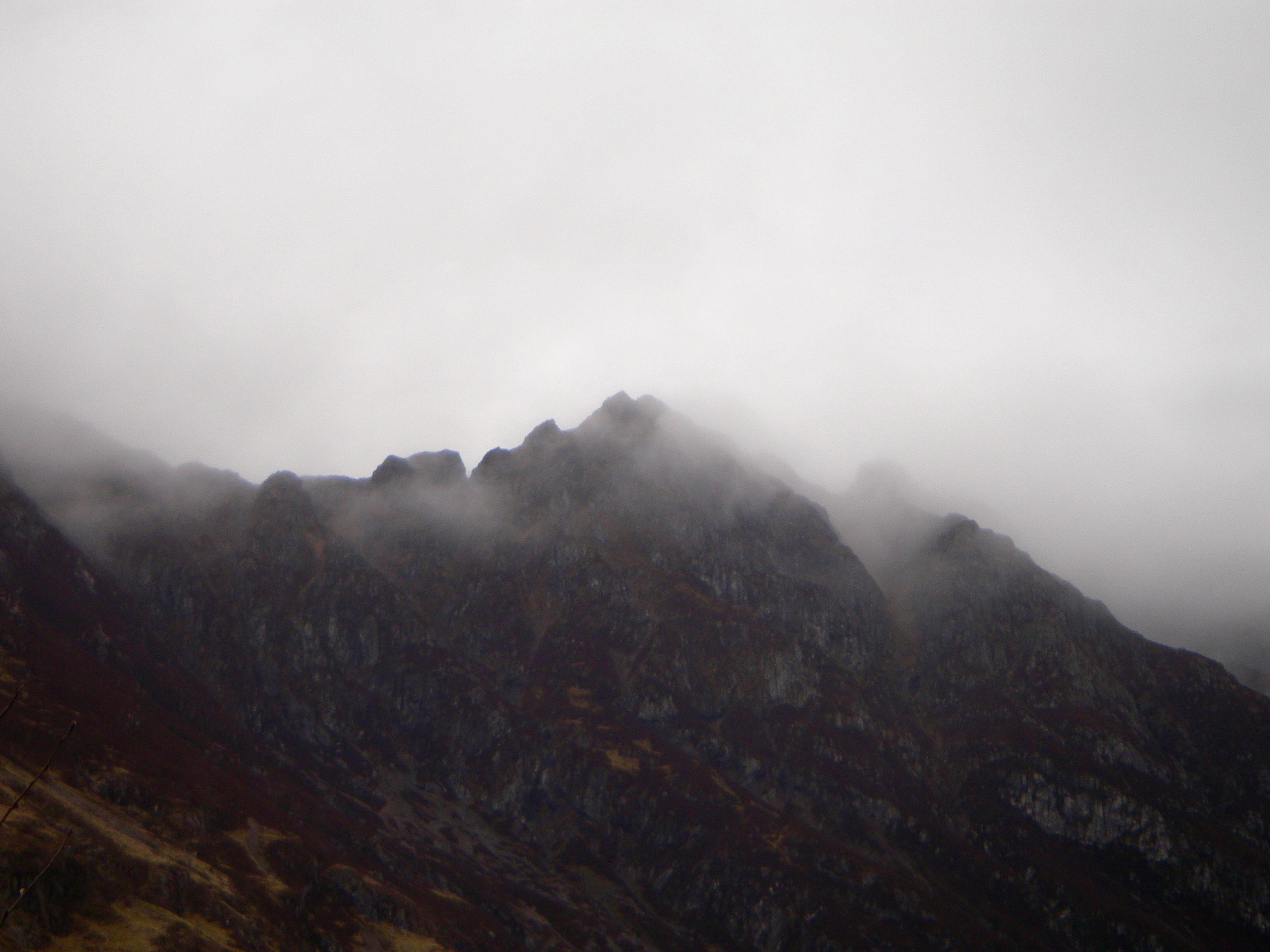
Aonach Eagach ridge
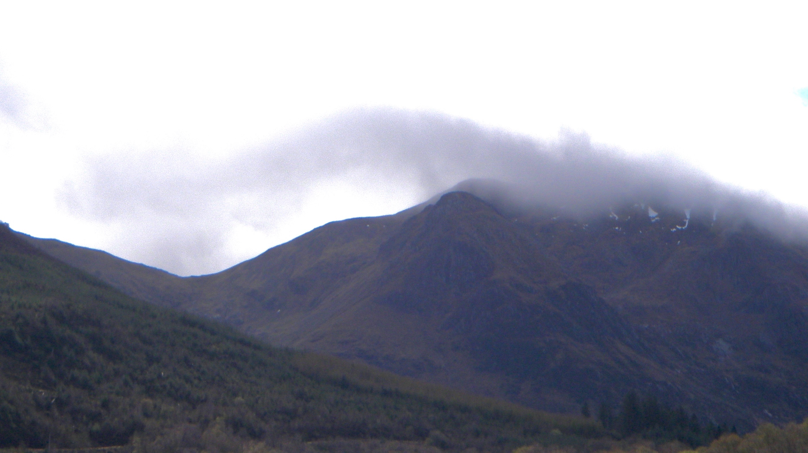
Sgorr Dhonuill 1001 metres part of the Beinn a Bheither mountains
|
General weather situation (synoptic overview) for tomorrow. |
|
The West will be mostly cloudy with a little light rain or drizzle, snow on the summits, across Torridon tonight and Saturday morning. Dry, and largely sunny weather developing for all ranges on Saturday, although broken cloud may remain over Torridon. Strong summit winds beneath a strong temperature inversion. |
|
Outlook for the next 48 hrs |
|
Dry with clear skies Saturday evening and South-Westerly gales developing over the summits. Cloudy overnight with a little light rain over the northwest and wet bulb freezing level (WBFL) just above the summits. A cold front moves into the North-West Highlands during the morning, moving southeast across all ranges in the afternoon. This falling initially as rain, but turning to snow above 700 metres as WBFL fall to around 800 metres behind the front, although only small accumulations are expected. The front fragments as it moves South- East, with scattered light snow showers and strong to gale force North-West winds following, the showers mainly over the far northwest. Drier on Monday, but still a few light showers, falling as snow above 700-800 metres with WBFL around 800-1000 metres. Winds ease and back westerly, strengthening again in the evening. |
Comments on this post
Got something to say? Leave a comment


