Overcast

9th April 2017

It was a cloudy day with fresh West-South-Westerly winds the mid-day temperature @ 1100 metres was 1.7 degrees celsius. Light rain started to fall in the afternoon.

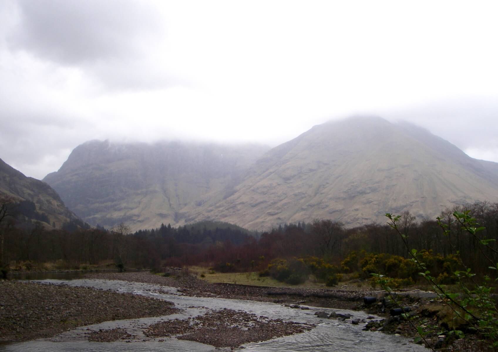
The Aonach Eagach ridge shrouded in clouds

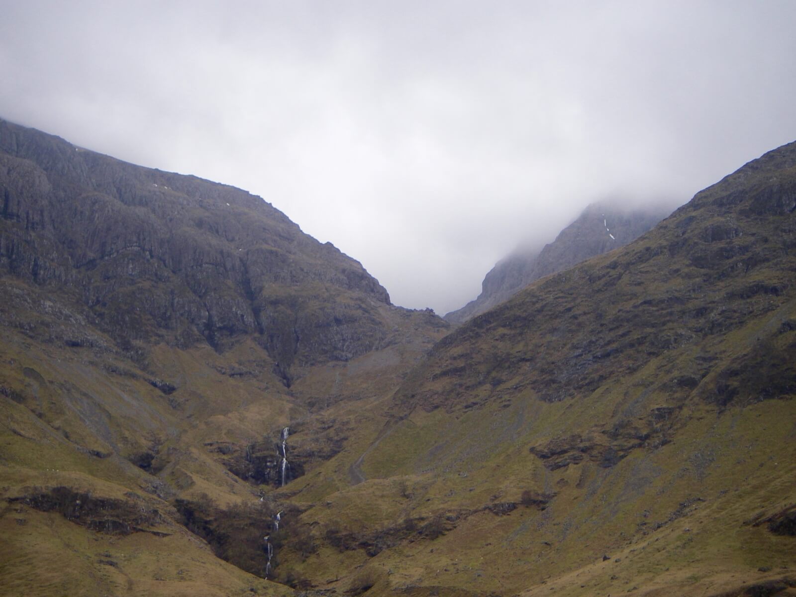
Looking into Stob Coire nan Lochan not as nice as yesterday’s conditions


Stob Coire nam Beith

The river Coe in the fore ground with the West face of Aonach Dubh behind with An-t Sron on the right

Weather forecast general situation (synoptic overview).

Cold northwesterly winds will bring snow showers to most ranges through tonight and tomorrow, these heaviest and most frequent in the north. Wet bulb freezing levels will be 600 to 800 metres but briefly rising to 1000 metres in the early hours of Monday. Strong northwesterly winds.

Outlook for the next 48 hrs

A warm front will approach from the west on Monday evening bringing some persistent and heavy rain to West Highland ranges on Monday night, briefly preceded by snow above 600 metres. Then most of Tuesday will be in warm sector conditions, with patchy rain in the west but largely dry in the east. Wet bulb freezing levels will be above summit level on Tuesday. Very windy on Tuesday with storm force westerly winds. A return to colder and showery northwesterly winds is expected on Tuesday night and into Wednesday with wet bulb freezing levels lowering back down to 800 metres.

Comments on this post

Got something to say? Leave a comment

    Latest Glencoe Avalanche Report
    Archives
    Categories
    RSS Feed
    Keep up to date by subscribing to our RSS feed
Service funded by sportscotland
Forecast data supplied by the Met Office
SAIS Sponsors