Melt – Freeze – Snow!
29th January 2018
The West coast weather is being as changeable as ever: On the drive to Glencoe this morning I passed flood water and rivers in spate from all the rain and snow melt over the past 24 hours.
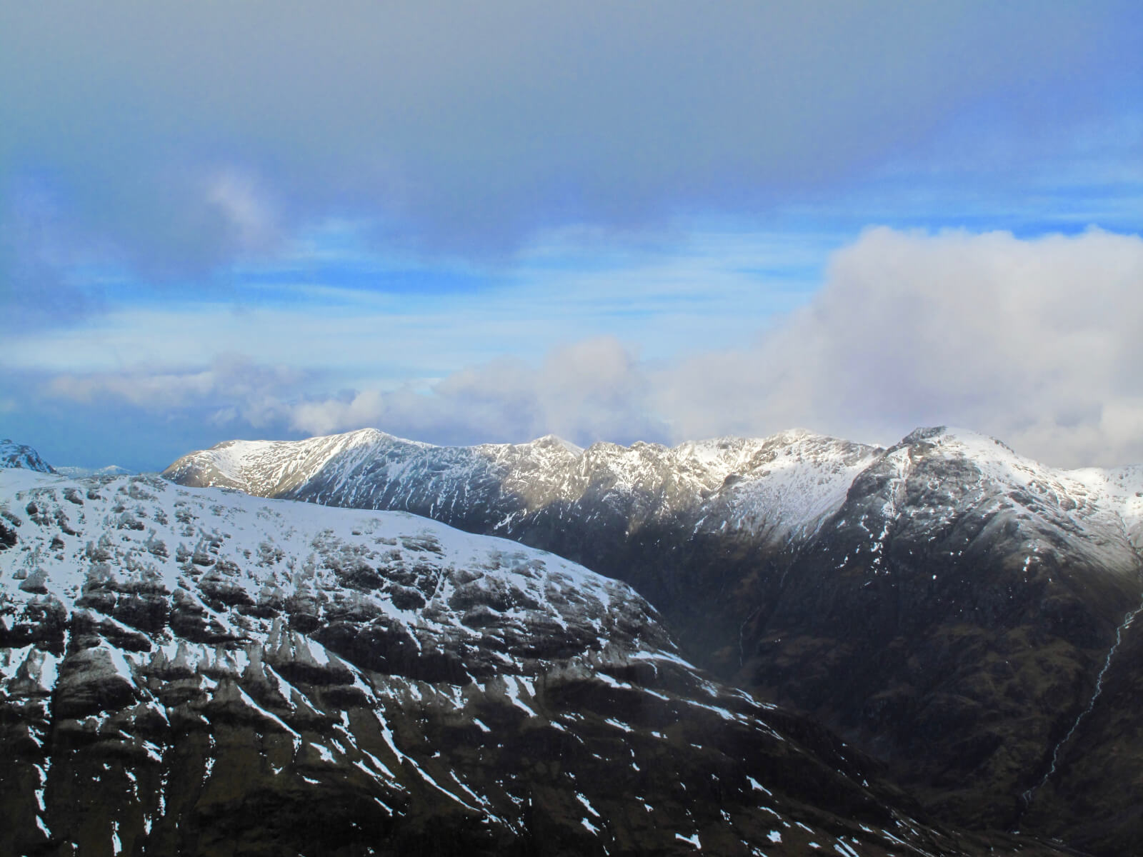
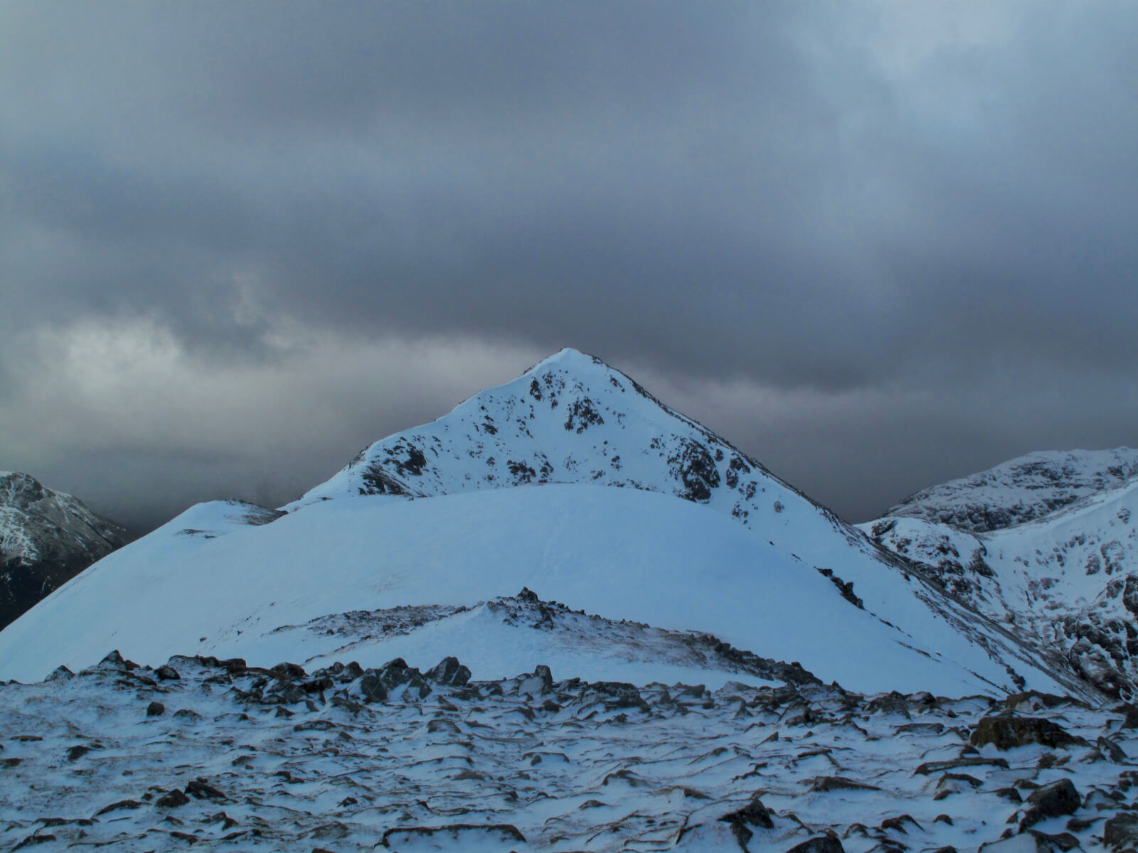
Then up in the mountains the wet snow had refrozen giving firm conditions with crampons essential.
And now the next 24 hours has snowfall on strong winds forecast – expect blizzard conditions and rapid accumulations of windslab.
The Highlands at their unpredictable best…
If you are out and about in the mountains tomorrow, have a quick read of the report and please take care.
Enjoy!
Comments on this post
Got something to say? Leave a comment


