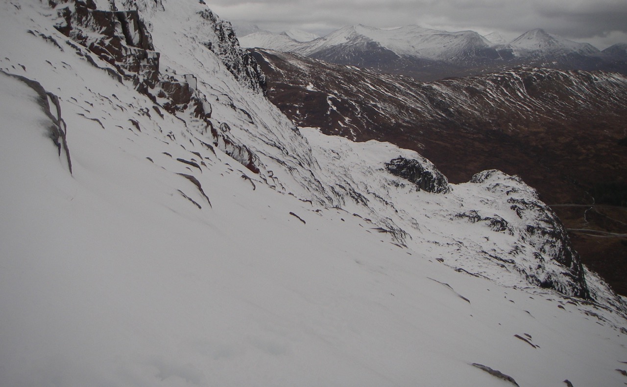
Less windy and drier for much of the day.
16th January 2020
Stormy conditions overnight gave way to a milder calmer and drier day than of late. Precipitation overnight fell as snow on the higher slopes but rain at lower levels has depleted snow cover mainly below 800 metres. Outlook is for more rain late Thursday evening which may give a period of higher instability. Â Becoming colder overnight with snow showers through Friday, new snow amounts are not expected to be great but unstable windslab will form on steeper slopes and gullies. Fresh cornices will be fragile.
Comments on this post
Got something to say? Leave a comment


