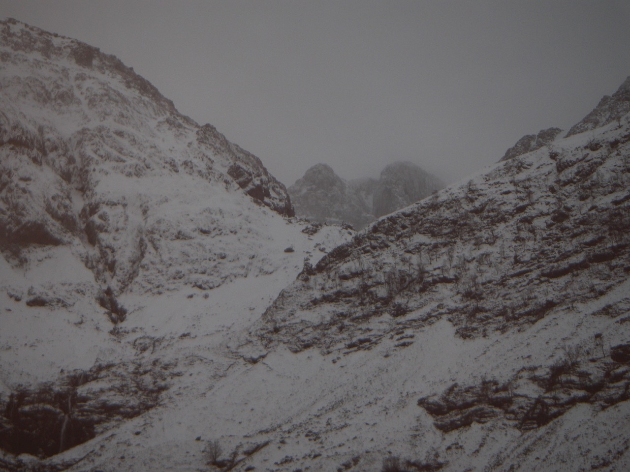
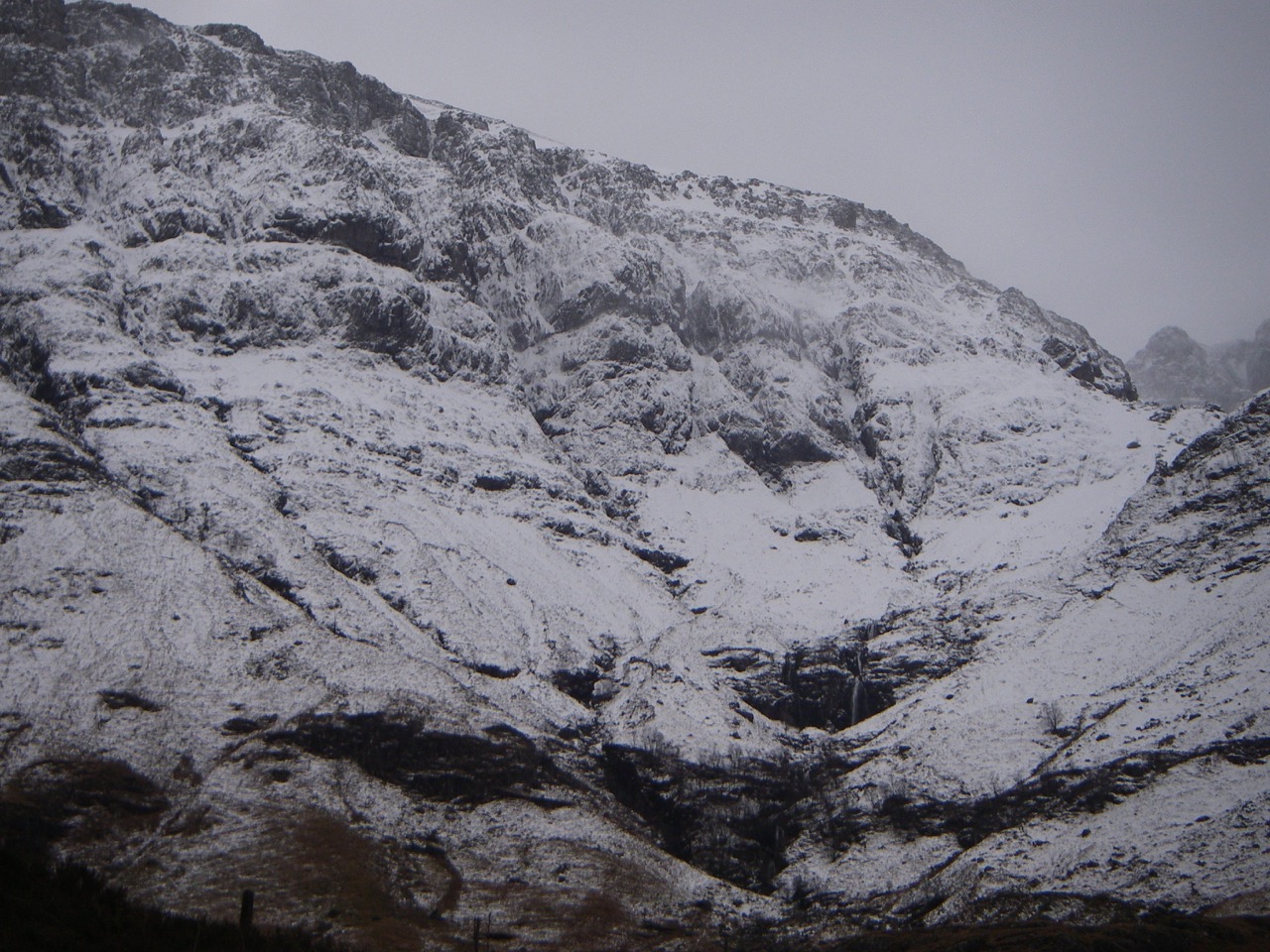
New snow above 600 metres but all change tomorrow
29th January 2020
Rain, sleet and snow heavy at times above 600 metres has affected the area. Milder conditions will see freezing levels rise above the summits with rain affecting all levels. Wet snow instabilities will form where recent deeper windblown accumulations of snow exist on steeper slopes. Cornices will be prone to collapse.
Comments on this post
Got something to say? Leave a comment


