The difference of a day.
14th February 2020
After yesterdays fine weather it comes as a shock to the system getting back to the rain and wind. Fortunately it didn’t last long. Â A reduction in snow cover at lower levels has occurred but higher slopes still retain a good cover. Colder overnight and another milder period on Saturday with rain heavy and very strong winds forecast. Â Weaknesses will persist in areas where deeper accumulations of windslab exist.
Colder conditions overnight will start a general re-freeze so snow cover, rocks and paths may well be icy by morning.
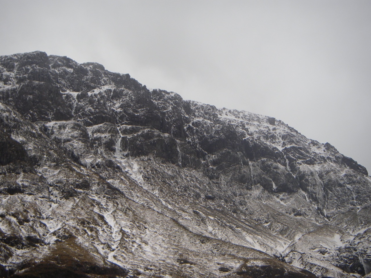
Photos are after todays mild and wet spell.
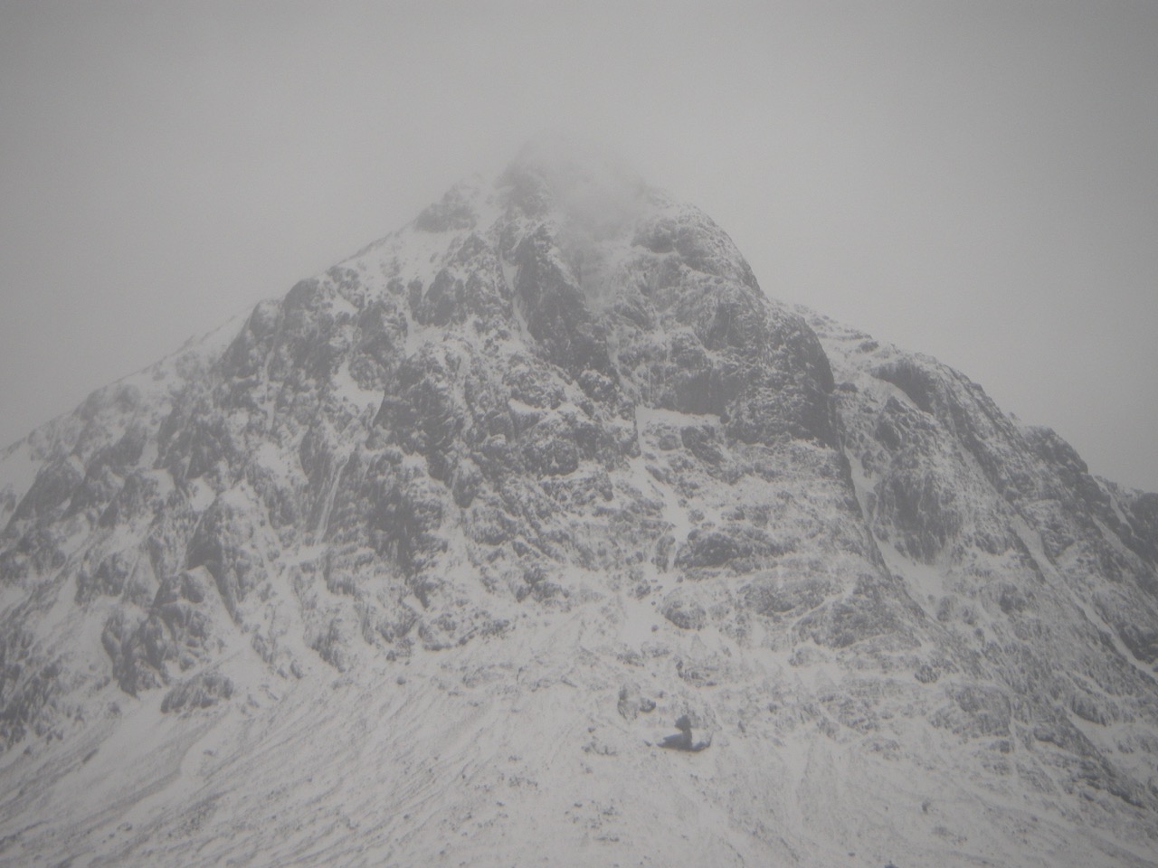
Buachaille Etive Mor
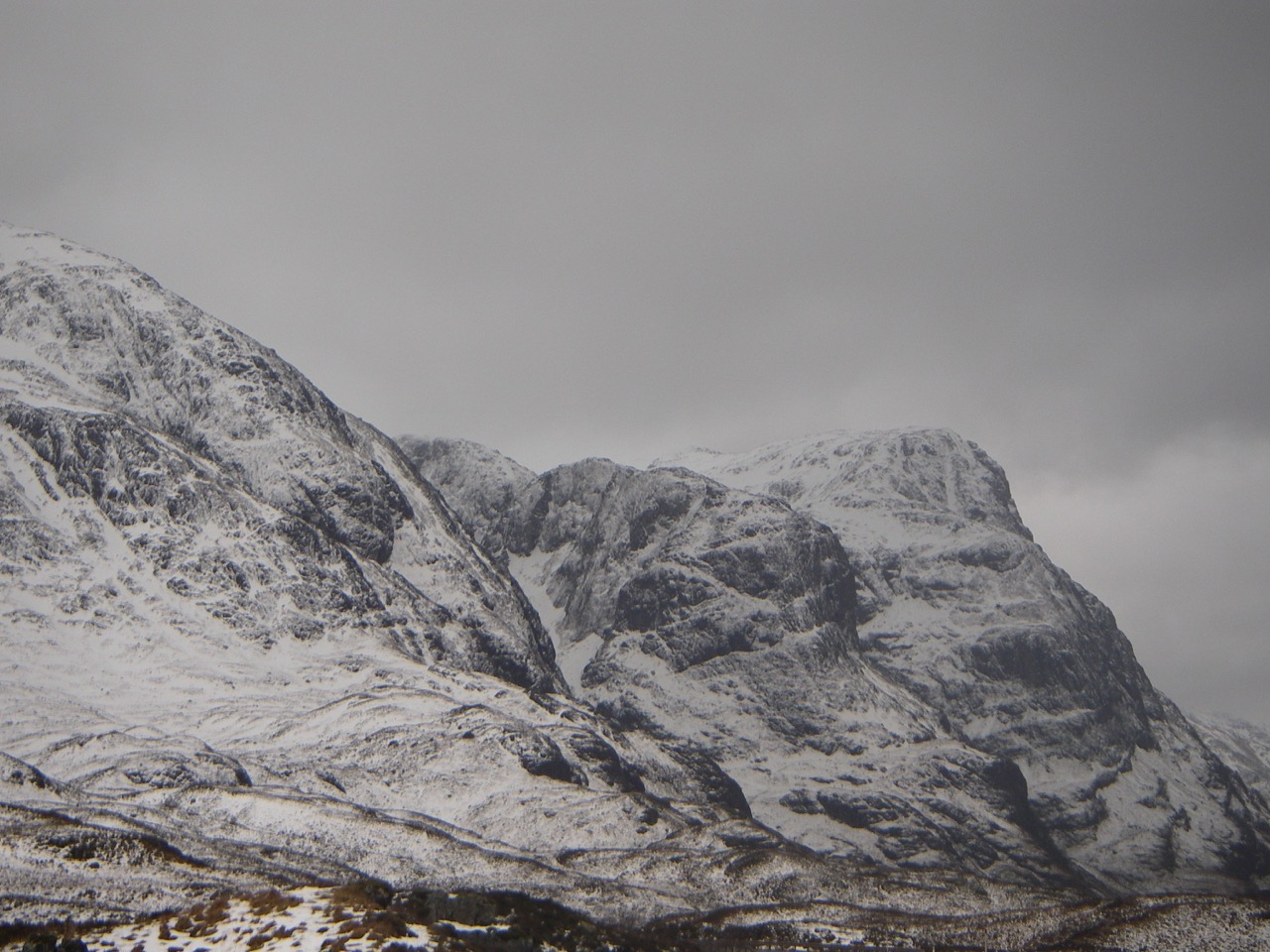
East aspects of the three sisters.
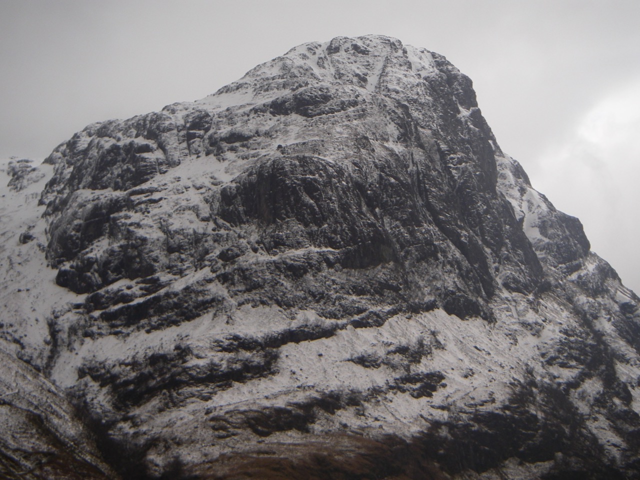
West and North Face Aonach Dubh.

North Face Gearr Aonach.

Westerly aspects of Beinn Fhada.

Westerly aspects of Buachaille Etive Beag.
West Face Aonach Dubh

Southerly aspects of Aonach Eagach.
Comments on this post
Got something to say? Leave a comment


