A nice morning
3rd March 2020
The overnight snow showers gave way to give a bright sunny morning. Clouds moved into the area in the early afternoon with some isolated snow showers.
Accumulations of poorly bonded windslab are present in wind sheltered locations. The greatest instabilities are on steep North to Easterly aspects above 800 metres with some instabilities persisting on W, NW and SE aspects. Areas particularly affected are coire rims, gullies exits, ridge flanks, and scarp slopes. Other aspects have pockets of localised instabilities. Avalanche activity noted today. Cornices are fragile. The avalanche hazard is Considerable.

Southerly aspect of the Aonach Eagach ridge.

Stob Coire nan Lochan.

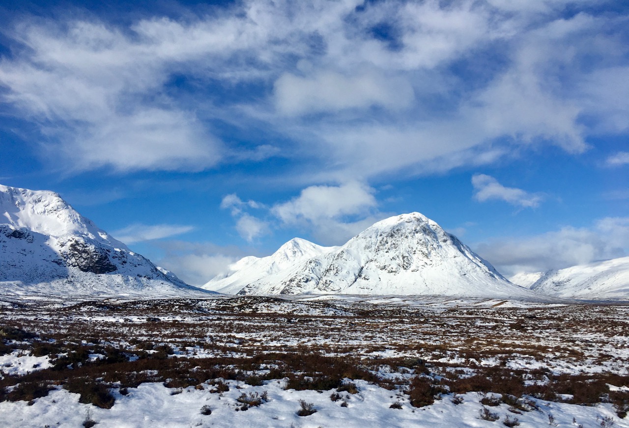
Buachaille Etive Mor on the left, Buachaille Etive Beag starting to appear on the right.

Stob Dearg and Coire na Tulaich. Note the long crown wall at the top of the coire headwall with avalanche debris below.
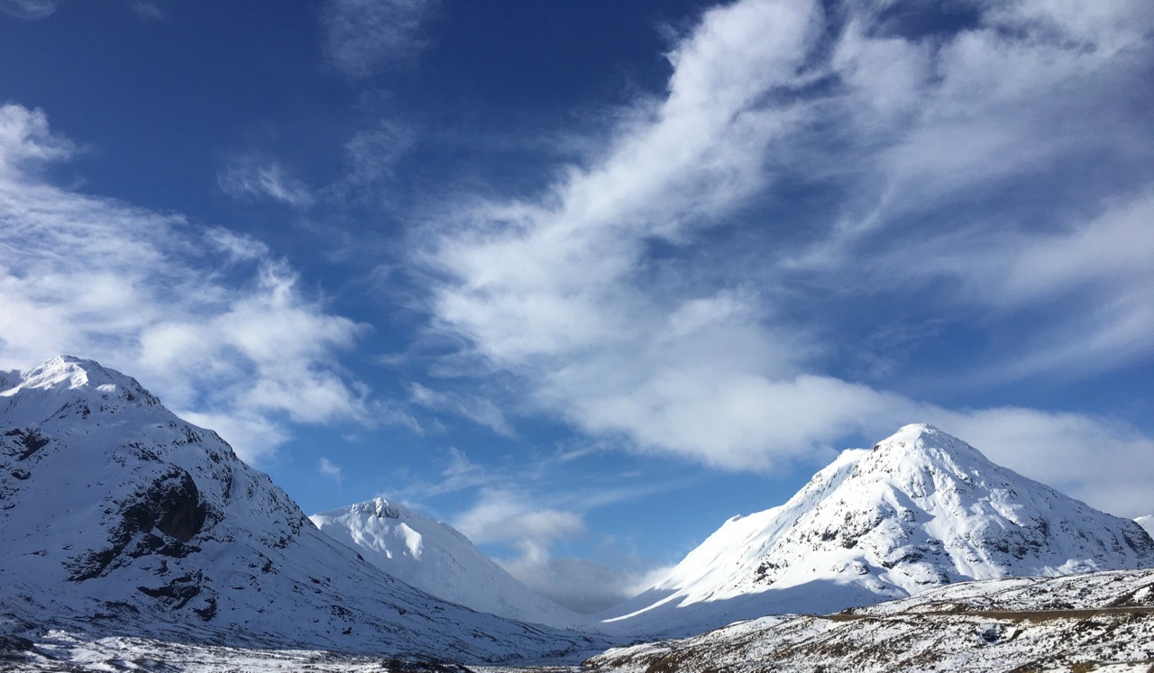
Lairig Gartain with Buachaille Etive Beag on the right.
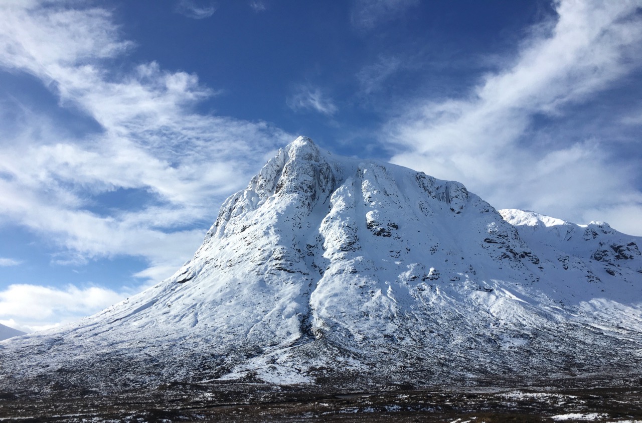
Northerly aspect of Stob Dearg.

Meall a Bhuiridh and Sron na Creise.
Buachaille Etive Mor.
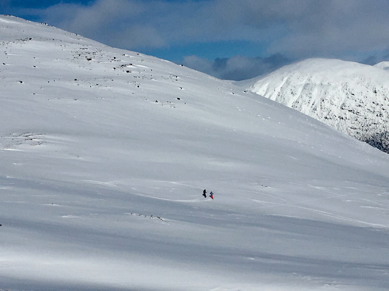
Lone Skiers on Creag Dhubh at around 600 metres.

Two metres 65cms at the pit site, only had to dig to a metre before we came to stable re-frozen layer.
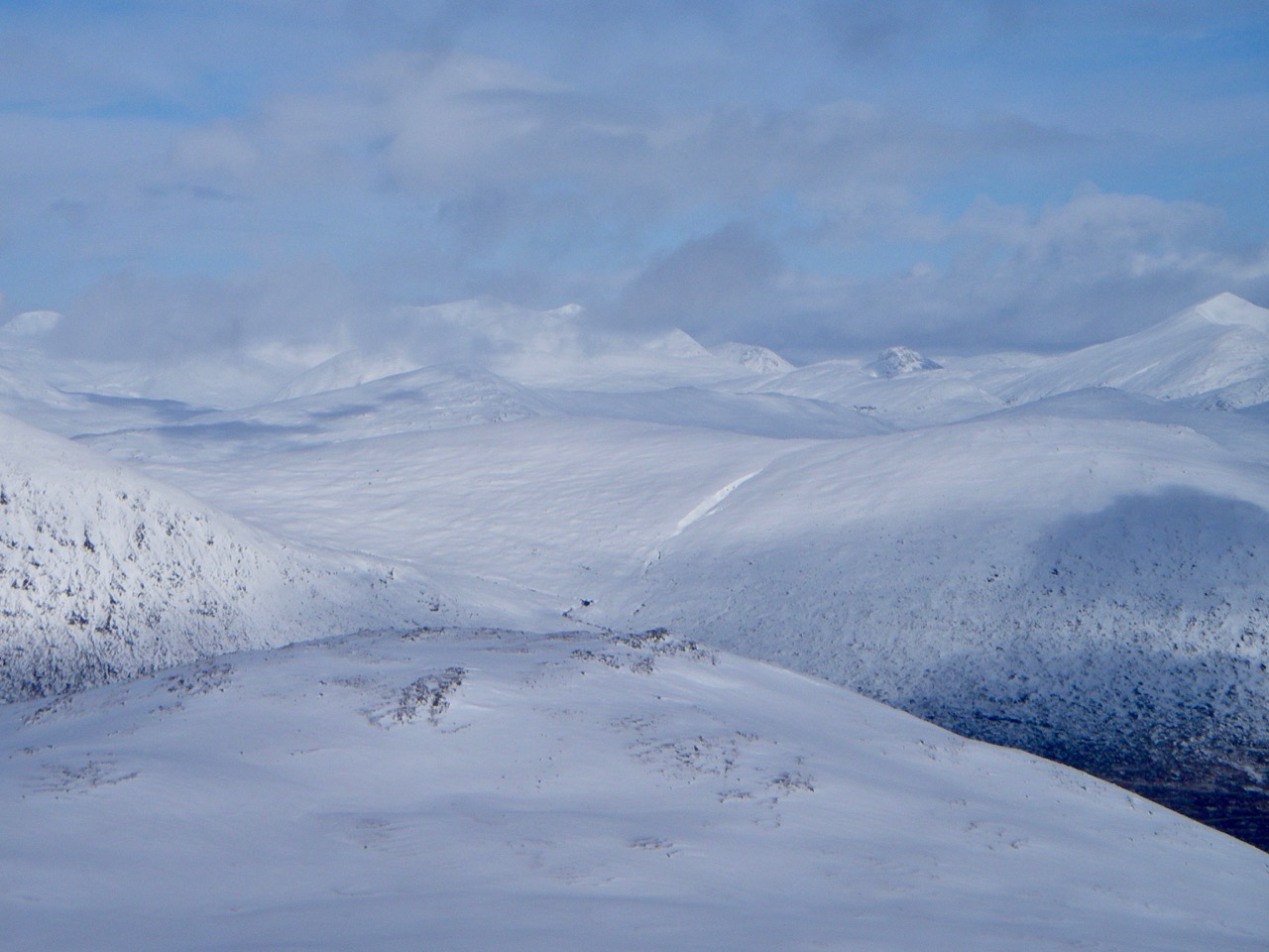
Looking to the north-east towards the Mamores.

Looking in a south-easterly direction towards the Bridge of Orchy hills. The sunshine is about to end with more snow falling soon.
Comments on this post
Got something to say? Leave a comment


