Deepening drifts.
5th February 2021
Covid -19
The Scottish Avalanche Information Service issues information to support permitted activity under current Scottish Government guidance.
Please be aware of current mandatory travel restrictions in Local Authority areas within Scotland and respect local communities by referring to Scottish Government guidance and safe route choices for exercise.
This blog is intended to provide hazard and mountain condition information to help plan safer mountain trips.
Last night very heavy snow showers affected the area with snow falling to lowers levels accompanied by storm force Easterly winds this led to drifting snow above 400 metres. Today was relatively dry and 2 degrees warmer than yesterday, winds remained strong Easterly. The freezing level was around 500 metres.Drifting and new snow on strong Easterly winds has continued to form unstable windslab in many steep sheltered locations. Greatest accumulations are on South-West through West to North aspects above 700 metres. Steep sheltered gullies, coire headwalls and scarp slopes are particularly affected. Other sheltered areas have localised instabilities. Cornices are fragile. The avalanche hazard is Considerable. Avalanches likely tomorrow.
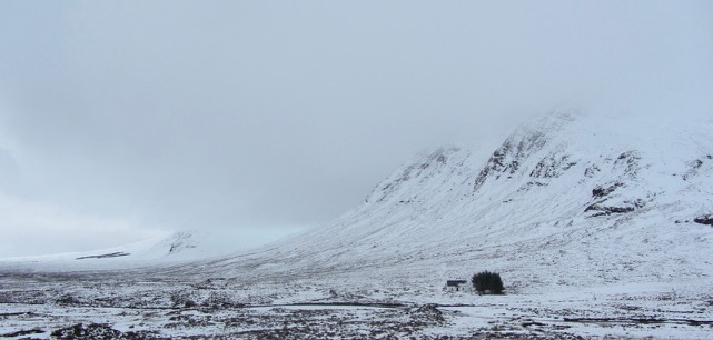
Taken at Altnafeadh looking at Buachaille Etive Mor with Meall a’ Bhuiridh in the distant left.
Comments on this post
Got something to say? Leave a comment


