Fluctuating Freezing Level

28th March 2021

Covid -19
The Scottish Avalanche Information Service issues information to support permitted activity under current Scottish Government guidance.
Please be aware of current mandatory travel restrictions in Local Authority areas within Scotland and respect local communities by referring to Scottish Government guidance and safe route choices for exercise. For further guidance please refer to the following information for hillwalkers and climbers and snowsports on ski and board.
This blog is intended to provide hazard and mountain condition information to help plan safer mountain trips.

After a period of instability overnight and the freezing level rising above the summits, evidence of avalanches were observed on East aspects in Coire nan Lochan. Full details of these can be found on the SAIS website. The freezing level then dropped to around 700m, consolidating the snowpack in most locations. The freezing level then rose again during the afternoon to above the summits, where it is forecast to remain for the next few days. Tomorrow looks warm, wet and windy! Rivers and streams will be hazardous with heavy rain and significant snow melt.

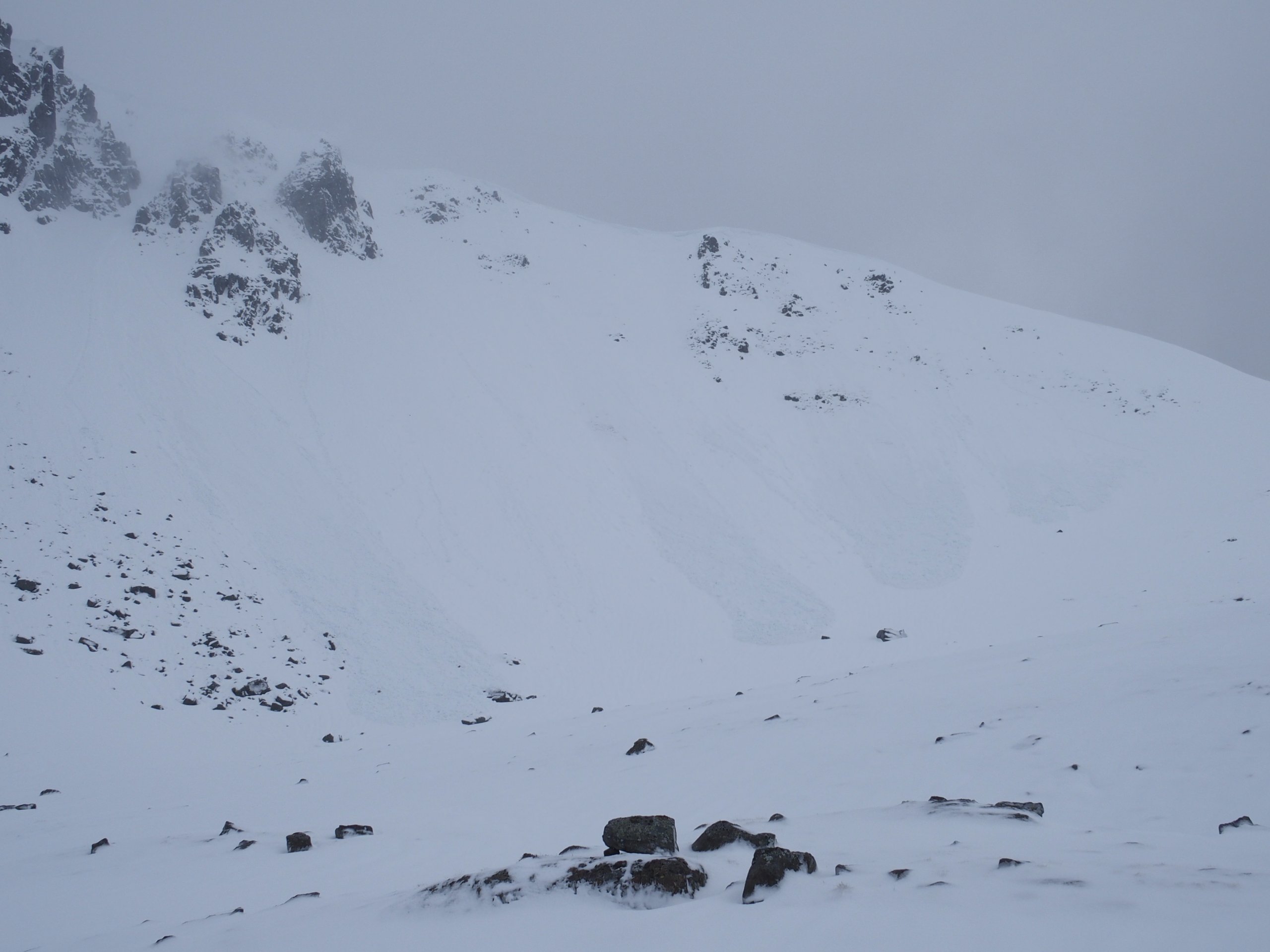
Avalanches on an East aspect in Coire nan Lochain

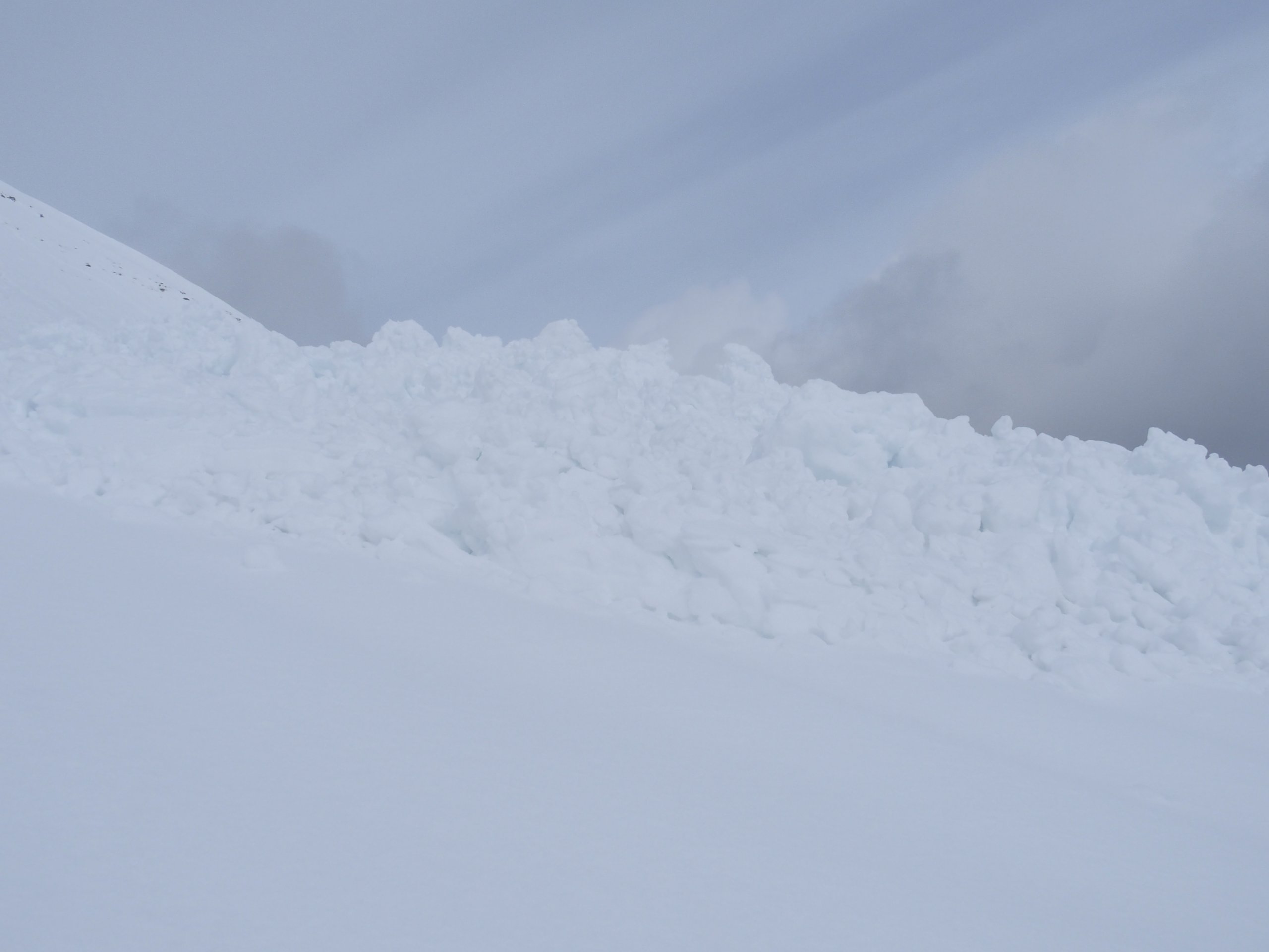
A closer look at the debris

Looking East towards Beinn Fhada and Buachaille Etive Beag

Comments on this post

Got something to say? Leave a comment

    Latest Glencoe Avalanche Report
    Archives
    Categories
    RSS Feed
    Keep up to date by subscribing to our RSS feed
Service funded by sportscotland
Forecast data supplied by the Met Office
SAIS Sponsors