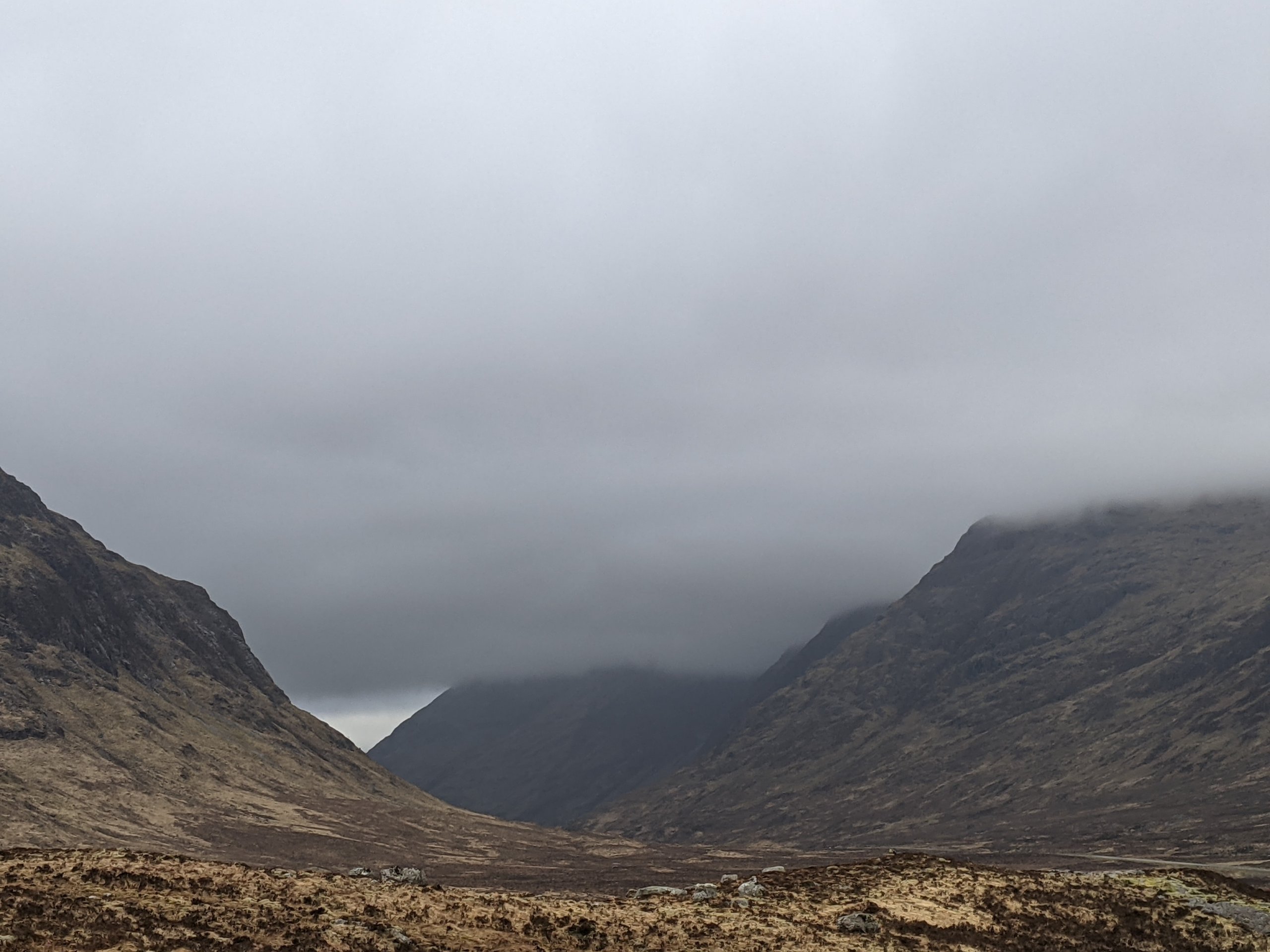
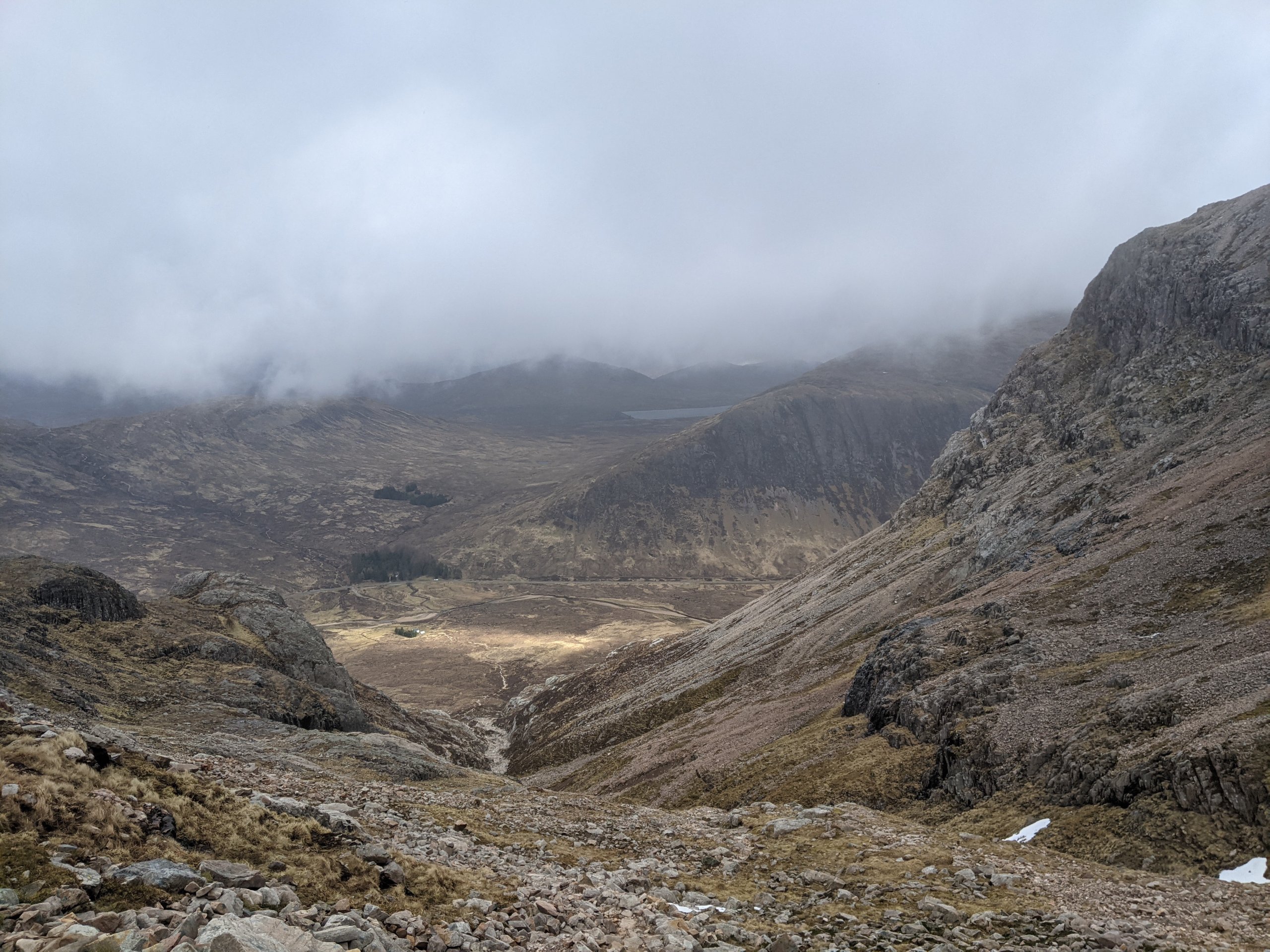
Becoming windy and overcast.
4th April 2021
Covid -19
The Scottish Avalanche Information Service issues information to support permitted activity under current Scottish Government guidance.
Please be aware of current mandatory travel restrictions in Local Authority areas within Scotland and respect local communities by referring to Scottish Government guidance and safe route choices for exercise. For further guidance please refer to the following information for hillwalkers and climbers and snowsports on ski and board.
This blog is intended to provide hazard and mountain condition information to help plan safer mountain trips.
Cold overnight conditions re-froze the remaining snowpack. The surface of the snow remains firm on some steep slopes and gullies, potentially serious run outs exist in the event of an uncontrolled slip. Cold outlook with freezing at most levels. North or North-Westerly gales or severe gales and light snow showers. Pockets of unstable windslab will form in sheltered gullies and on Easterly to South-Easterly  aspects, with only light amounts of new snow these areas are not expected to be deep or extensive and should generally be avoidable.
Comments on this post
Got something to say? Leave a comment


