First report of the season 2021/22
9th December 2021
The overnight and early morning showers gave way to a predominantly dry day. Winds were light South-Westerly and the freezing level was around 850 metres. Deposits of unstable windslab were noted at the tops of slopes and in sheltered gullies mostly on North to Easterly aspects above 950 meters. These areas are generally localised and not particularly extensive and generally avoidable. Below 950 metres the snowpack is moist and generally well bonded. Cornices are moderately sized and unstable. The avalanche hazard is Moderate.
Snow cover at around 850 metres with some small drifts in places.

Looking westward towards Buachaille Etive Mor on the left and Stob Mhic Mhartuin on the right, the A82 road in the glen below.

Stob Dearg.

Stob nan Cabar and Buachaille Etive Beag on the left with the Aonach Eagach ridge on the right.

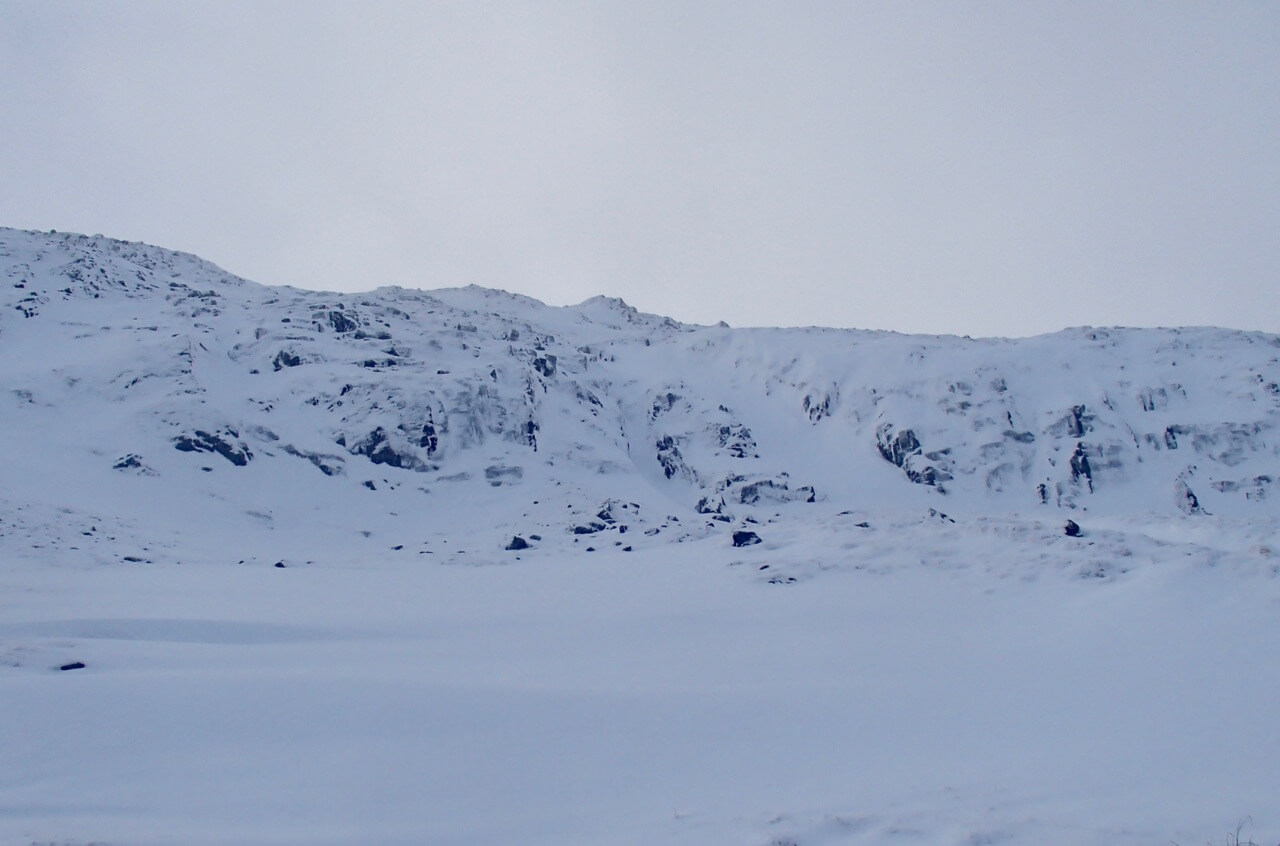
Looking at Stob coire nan Lochan.
The forecast 10th December, the freezing level will lower to around 200 metres before rising to 500 metres during the day. Snow showers through the forecast period falling mostly above 400 metres. Fresh to strong Westerly winds will slowly back to the South-West and ease slightly. Areas of unstable windslab will develop throughout the forecast period, affecting most wind sheltered locations, particularly on steep North-East to South-East aspects above 800 metres. Cross loading will affect other aspects, particularly around steep coire head walls and the tops of sheltered gullies. Unstable cornices will continue to develop. The avalanche hazard will be Moderate.
Comments on this post
Got something to say? Leave a comment


