Slightly Milder than of late…
28th December 2021
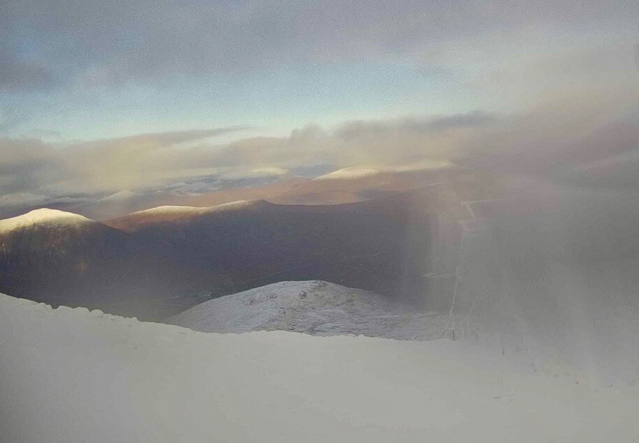
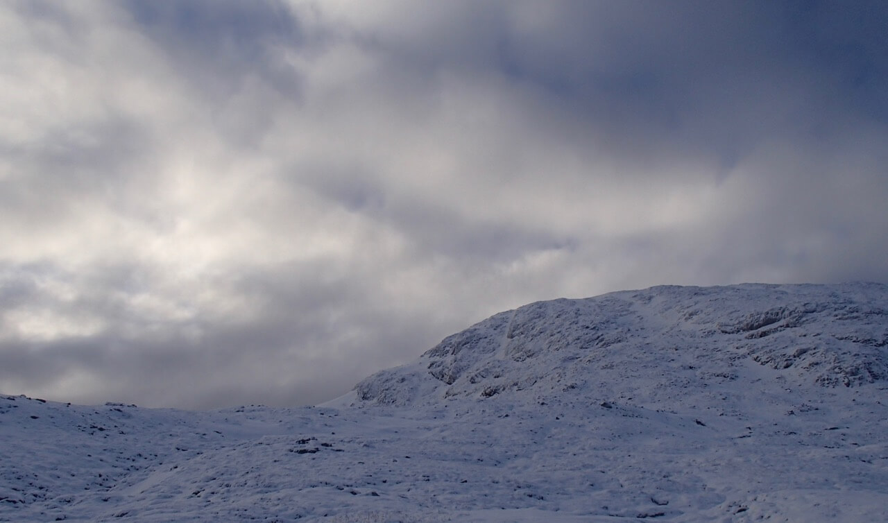
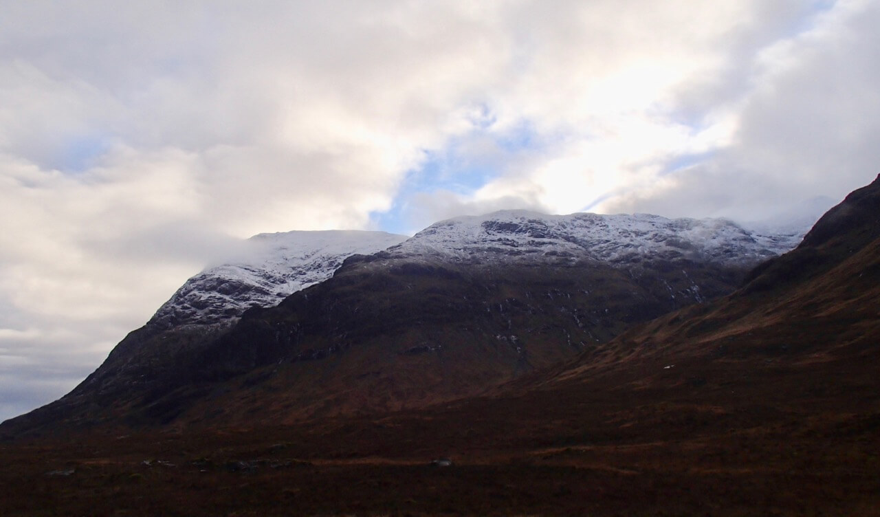
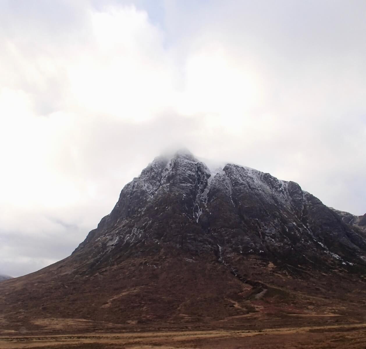
The freezing level was above the summits. It was predominantly dry but on the odd occasion some fine drizzle did fall giving some sleet on the highest summits these were accompanied by very light Easterly winds.
Forecast; Overnight, remaining cold then the freezing level will rise above all summits. Mainly dry through to dawn then some snow showers for a short period in the morning these will turn to rain at all levels through the afternoon. The light Southerly winds will strengthen becoming East-South-Easterly before returning to South-West at the end of the period.Â
Forecast Snow Stability and Hazard: Any new snow amounts are not expected to be significant. The shallow snowpack will become moist as rain affects the area leading some isolated surface wet snow instabilities. Most affected locations will be above 900 metres on steep wind sheltered locations, like coire rims, gully tops and scarp slopes with a North-West through North to East aspects. Any remaining cornices will be prone to collapse. The avalanche hazard will be Low.
Comments on this post
Got something to say? Leave a comment


