Mild and damp, not much visibility …
10th January 2022
There were some snow showers early this morning mainly above 800 metres these turned to rain as the freezing level rose above the highest summits, plus 2.7 degrees celsius at midday. Winds were strong the South-South-East.
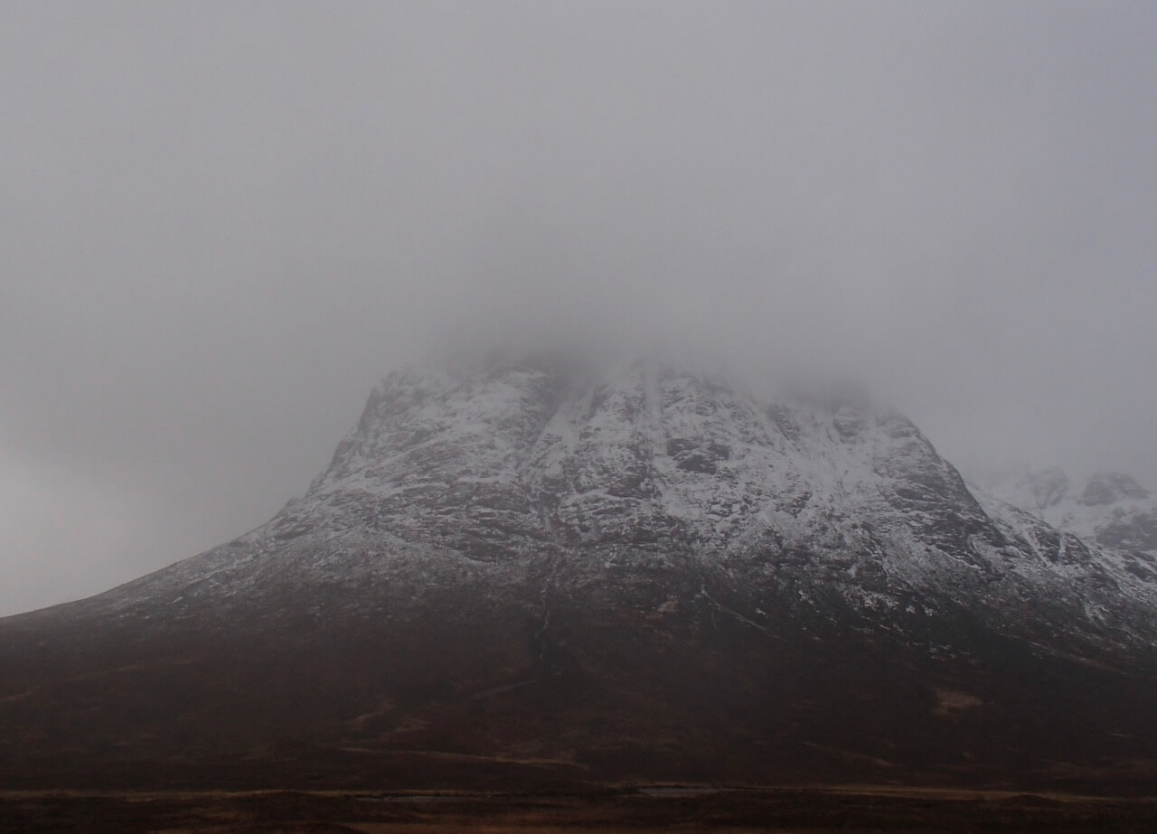
Stob Dearg on Buachaille Etive Mor.

Stob Dearg and Coire na Tulaich from Altnafeadh.
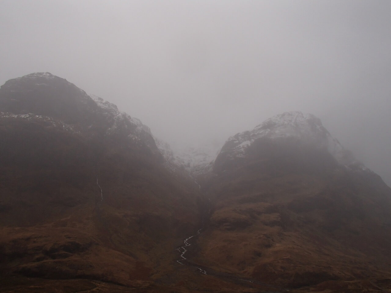
Gearr Aonach on the left Aonach Dudh on the right with Stob Coire nan Lochan between.
Forecast Weather Influences: The freezing level will lower to around 700 metres, rising to 1000 metres at the end of the period. A mainly dry day is expected, a small chance of an isolated snow shower above 600 metres. Winds will be fresh to strong from a South-Westerly direction.
Forecast Snow Stability and Hazard:Â The moist snowpack will consolidate, an icy crust may develop mainly above 700 metres. Any new snow amounts are not expected to be significant. Towards the end of the day as the freezing level rises, moderately bonded wet snow accumulations may develop in steeper locations. Particularly in sheltered gullies on steep coire headwalls and steep slopes with a North-West through North to East aspect above 850 metres. The avalanche hazard will be Moderate.
Comments on this post
Got something to say? Leave a comment


