A Very Wet Day
12th February 2022
Today was very wet with strong South-Westerly winds. There was a significant thaw and river levels were very high. Wet snow instabilities developed on North-West through East to South East aspects above 800 metres. The temperature has started to drop and the snowpack is starting to consolidate. Some fresh summit snow is forecast overnight, clearing to give a dry day with light winds and the freezing level around 900 metres. The snowpack will continue to consolidate and begin to refreeze as the freezing level lowers.
Looking across to the east facing slopes of Beinn Fhada.
North-East facing slopes at 850 metres on Buachaille Etive Beag today. Despite the thaw plenty of snow remains on higher North through East to South-East aspects. .

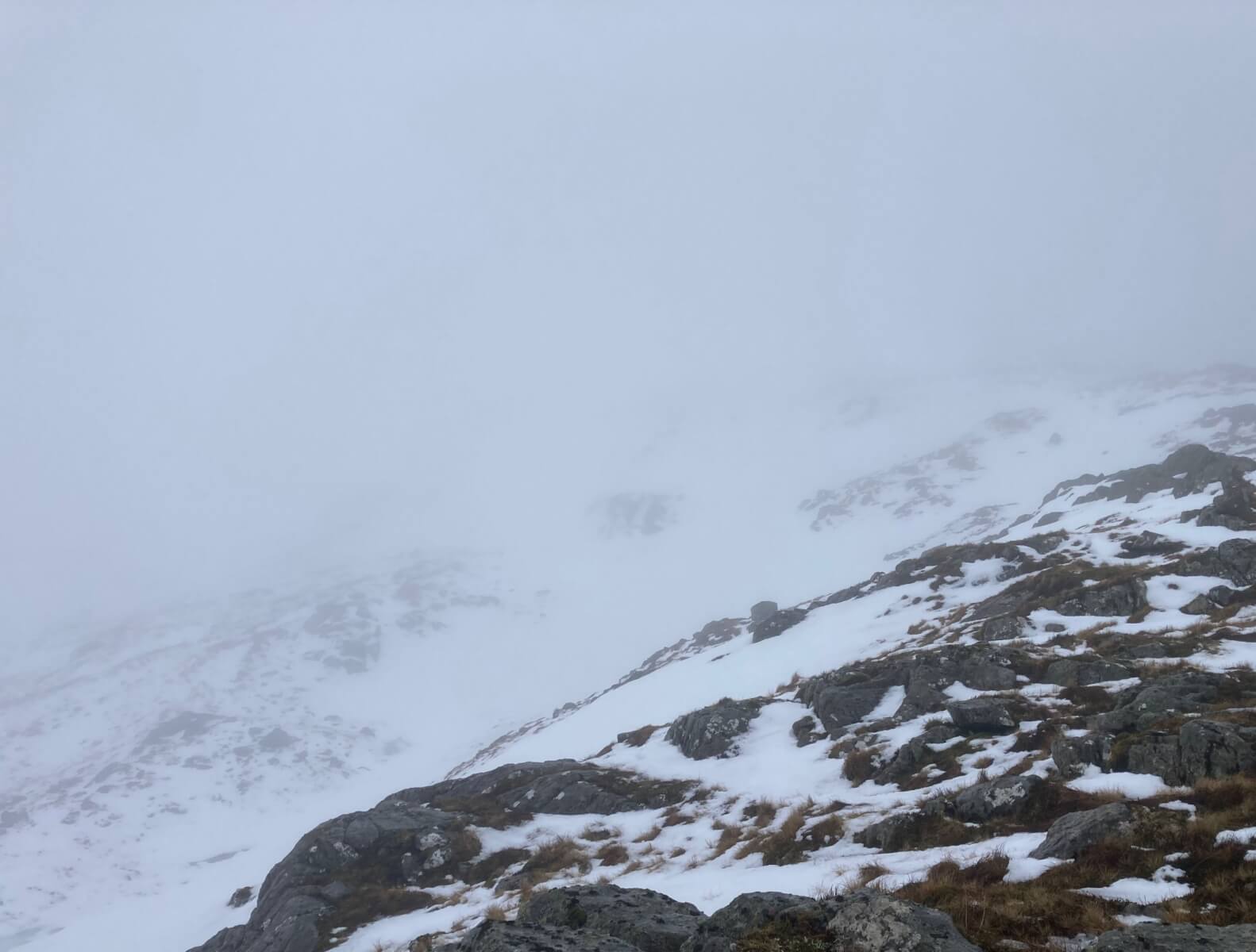
A view of the Aonach Eagach during a clearing on my descent.
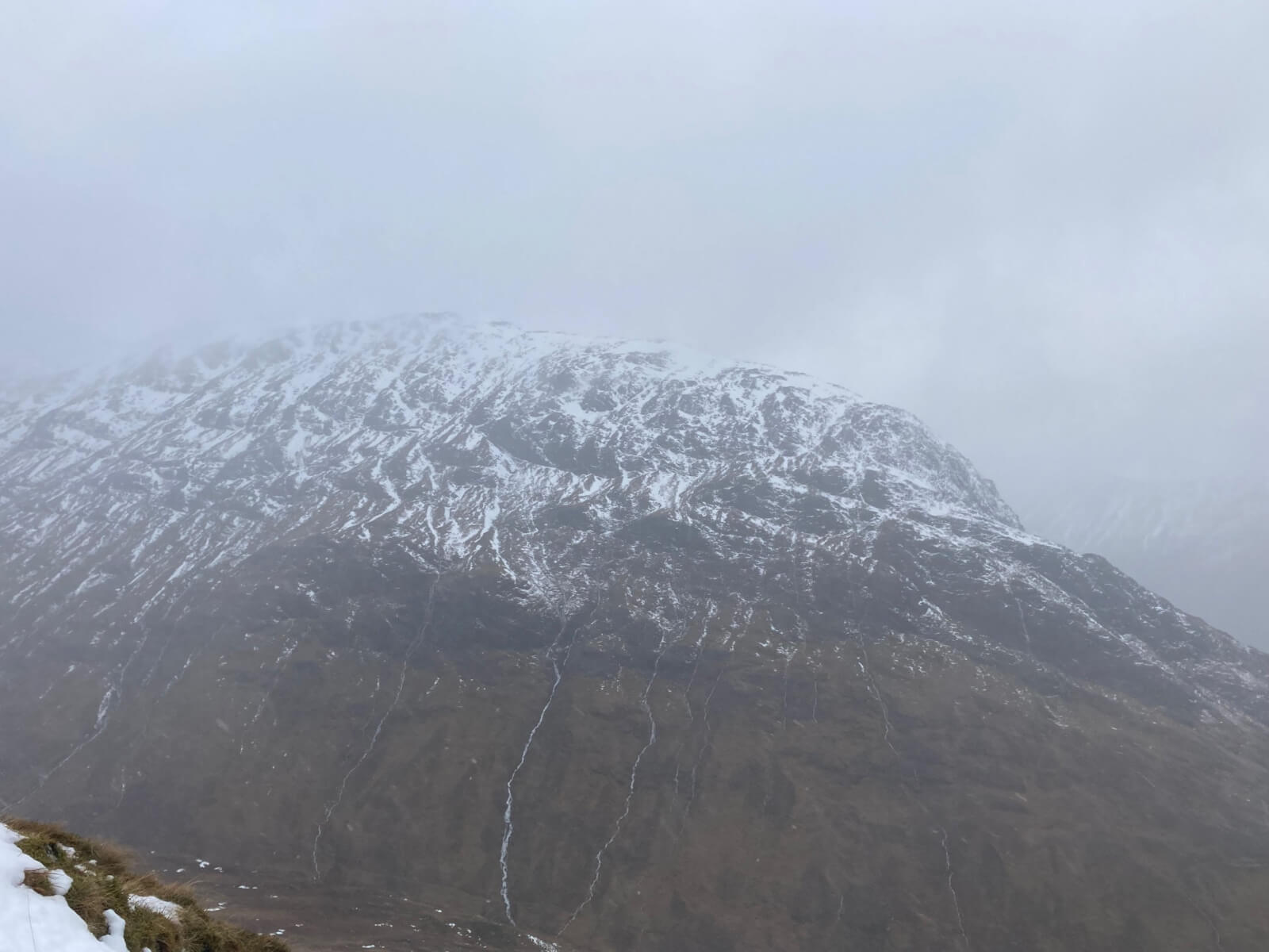
North-East facing slopes of Stob a’ Ghlais Choire

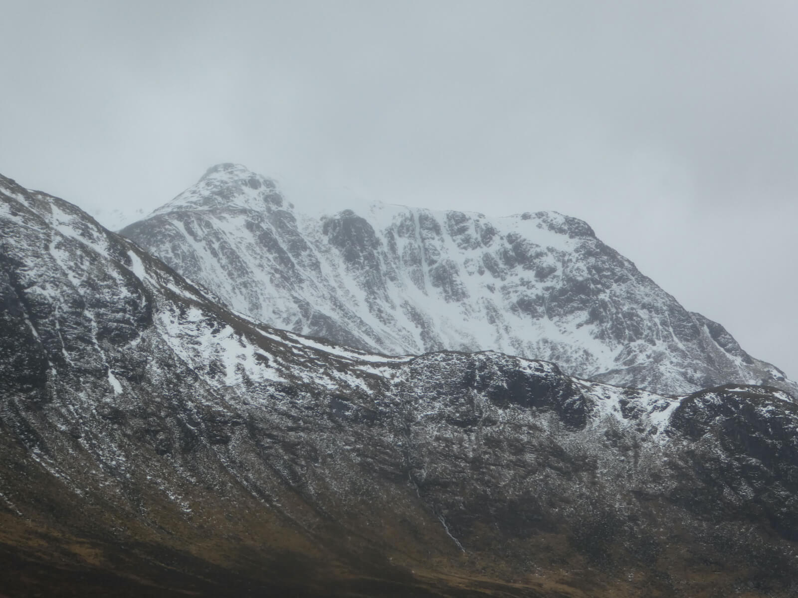
Stob Coire nan Lochan
Comments on this post
Got something to say? Leave a comment


