After the thaw, blustery wintry showers….
8th February 2022
Yesterday the freezing level was well above the summits for at least 12 hours this has diminished the snow cover and consolidated the snowpack. Today was cooler ,freezing level at around 800 metres with strong West-South-Westerly winds and light snow showers.

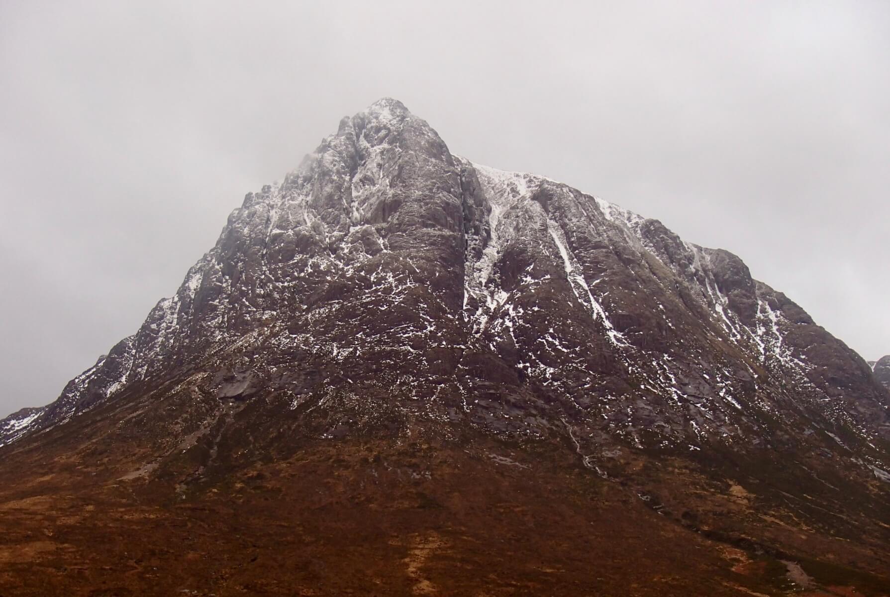
Much depleted snow cover on this northerly aspect of Stob Deag and in Coire na Tulaich.
North-Easterly aspect of Stob Dearg showing a thin dusting of new snow.

Buachaille Etive Mor.

Meall a’Bhuiridh has retained quite a bit snow.
North-Easterly aspect on Meall a’Bhuiridh.

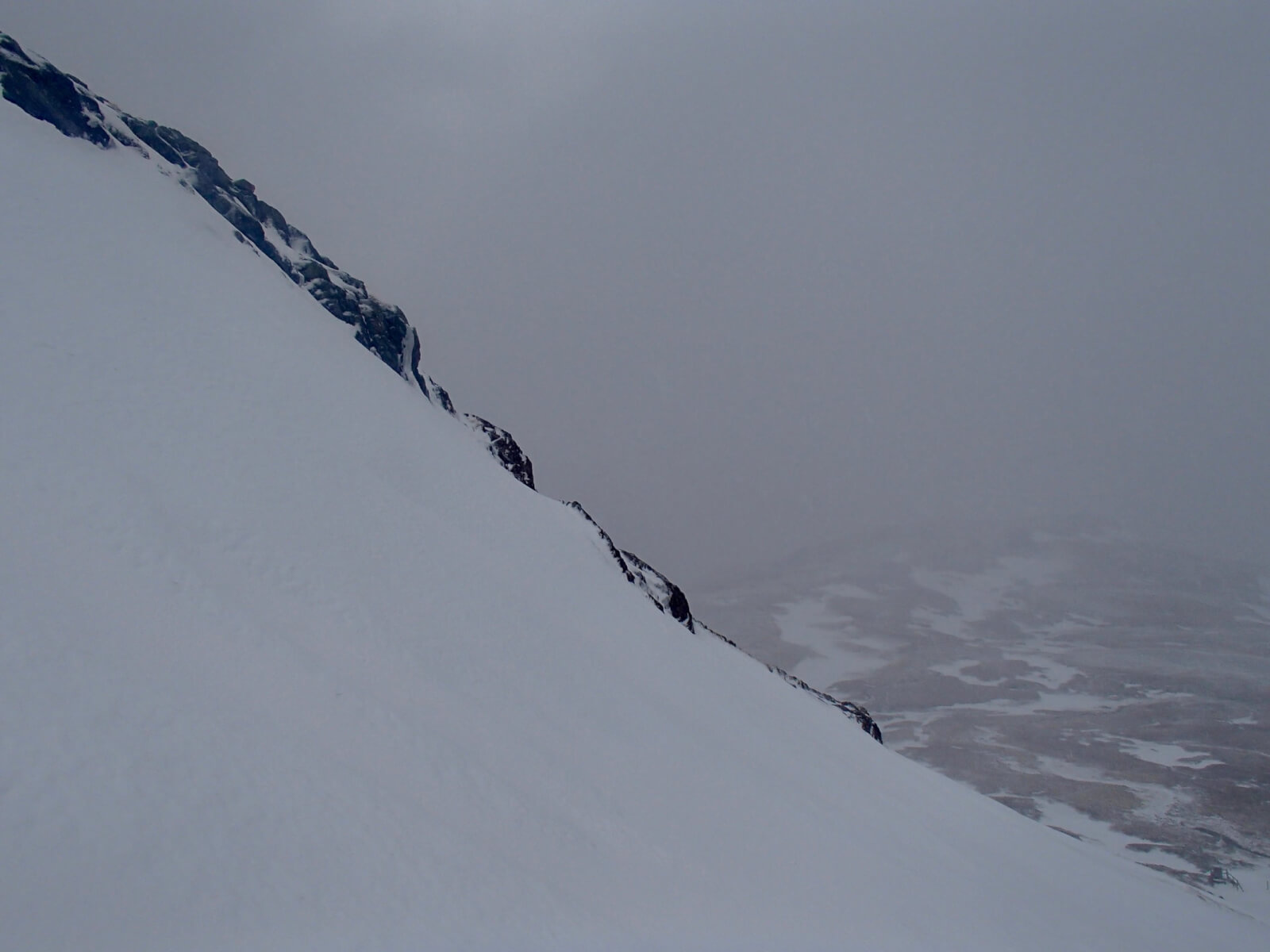
Light new snow being blown around in the strong West-South-Westerly winds.

Stob Coire nan Lochan.
Weather Forecast Influences: The freezing level will steadily lower to around 200 metres. Snow showers throughout this period falling to lower levels, accompanied by very strong West-South-Westerly winds.
Forecast Snow Stability and Hazard: New accumulations of moderately bonded windslab will form mainly on North to East aspects above 850 metres other aspects may also be affected due to cross loading. New cornices will develop above similar aspects. Greatest instabilities will be in steep wind sheltered locations particularly coire rims, gully tops and ridge flanks. The avalanche hazard will be Moderate.
Comments on this post
Got something to say? Leave a comment


