Blustery Wintery Showers
5th February 2022
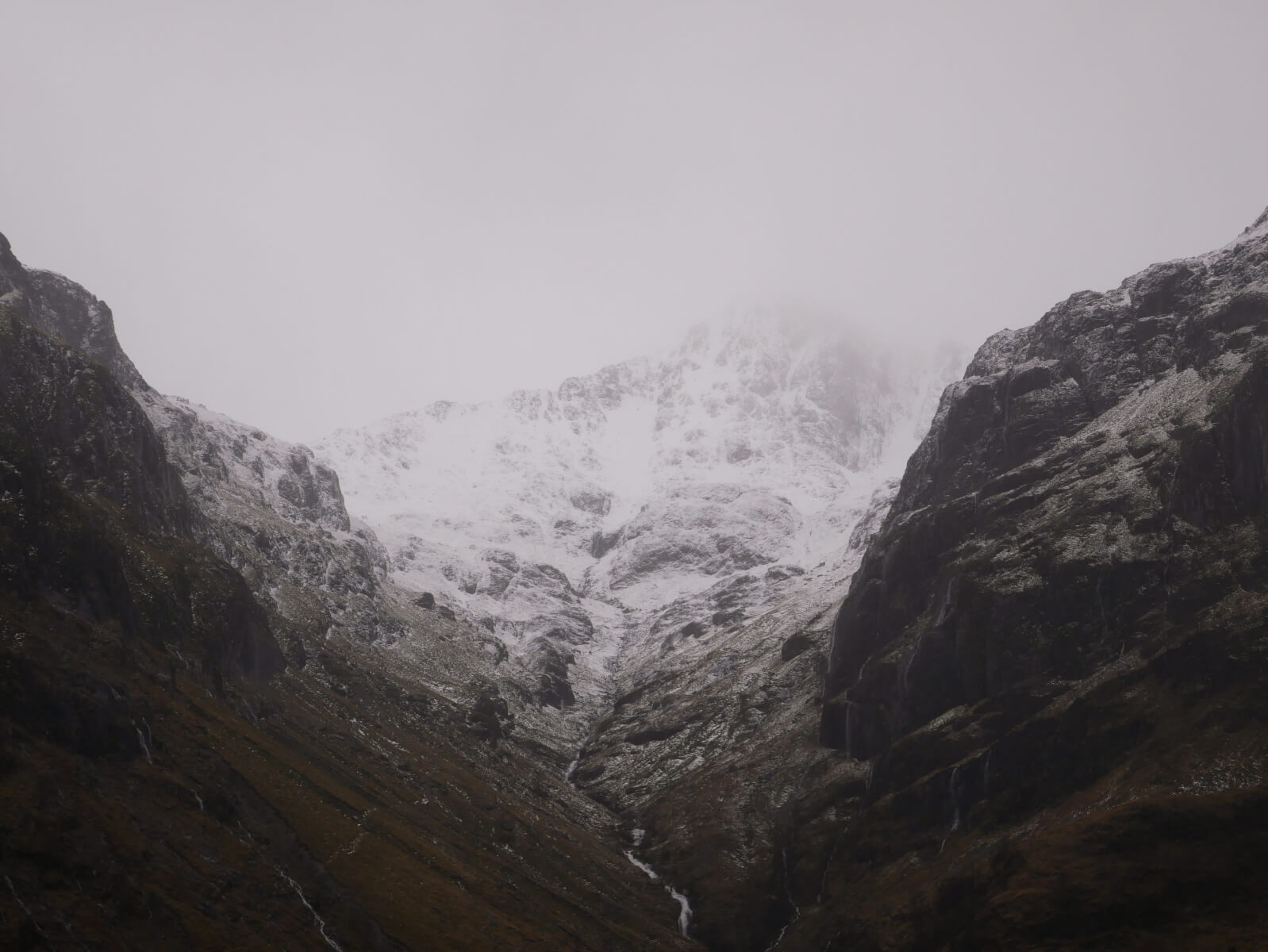
A day of blustery showers falling as rain followed by sleet and snow. The freezing level gradually lowered from 900 metres to 200 metres by the end of the day.
Snow is expected for much of the day tomorrow and existing accumulations of windslab will build further. These accumulations will be poorly bonded and sensitive where they form slightly deeper drifts. Steep wind sheltered locations such as coire rims, gully tops and ridge flanks will be particularly affected on North through East to South-East aspects above 800 metres.
Winds will be gale force and the complicated terrain of the glen will mean that accumulations may be deposited in other locations overnight due to cross loading.
The outlook is unsettled and wintery ahead with fluctuating temperatures.
Comments on this post
Got something to say? Leave a comment


