Intermittent showers…
21st February 2022
The freezing level rose to around 900 metres by 09.45hrs this morning then it slowly fell to around 800 metres. Intermittent precipitation fell mostly as snow above 850 metres and the winds were fresh to strong from a North-Westerly direction. Brighter, drier and lesser winds in there afternoon.
The older moist snowpack has generally consolidated. New accumulations of moderately bonded windslab was developing in wind sheltered locations. Areas mostly affected are sheltered gully exits, coire headwalls and steep slopes on North-East to South-Easterly aspects above 950 metres. The avalanche hazard is Moderate.

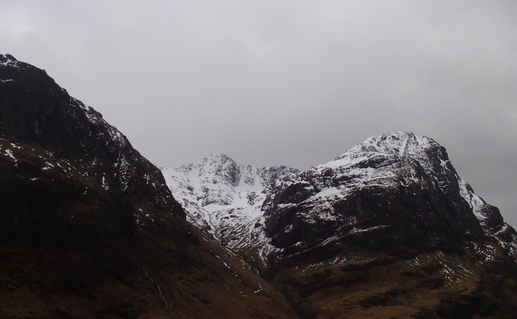
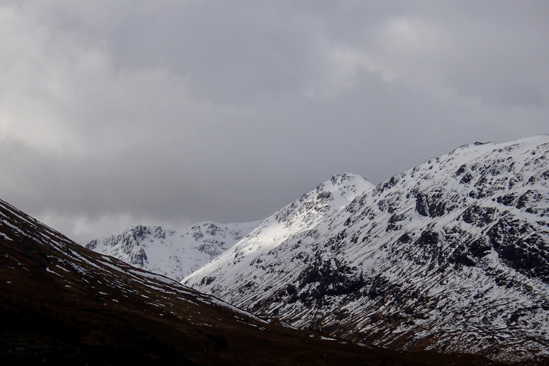
Stob Coire Sgreamhach and the Lost Valley buttresses.
Looking into Stob Coire nan Lochan with Gearr Aonach on the left and Aonach Dubh on the right.
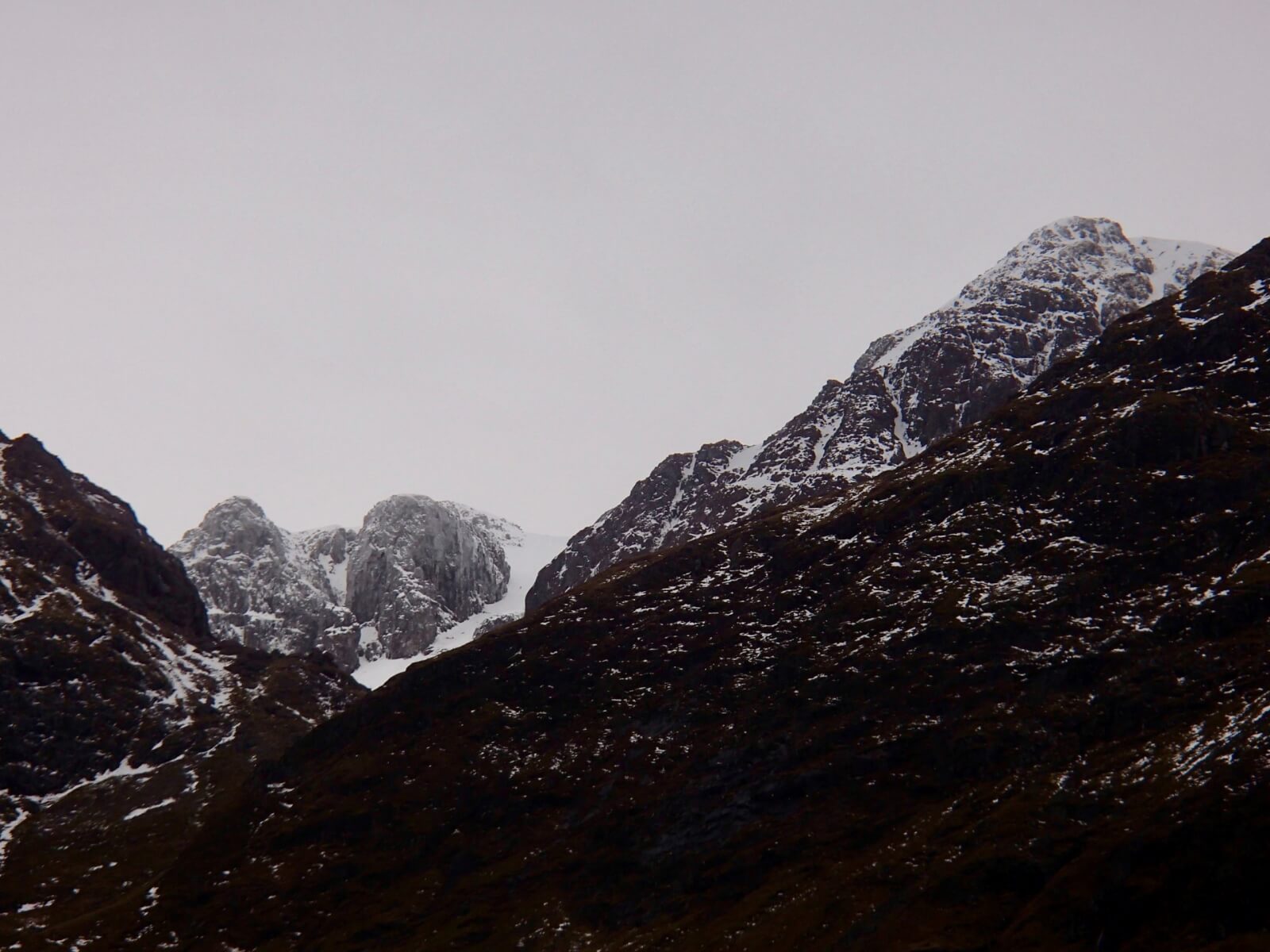
Church Door and Diamond buttresses on Bidean nam Bian, Central Gully seen between the buttresses. West summit of Bidean on the right.
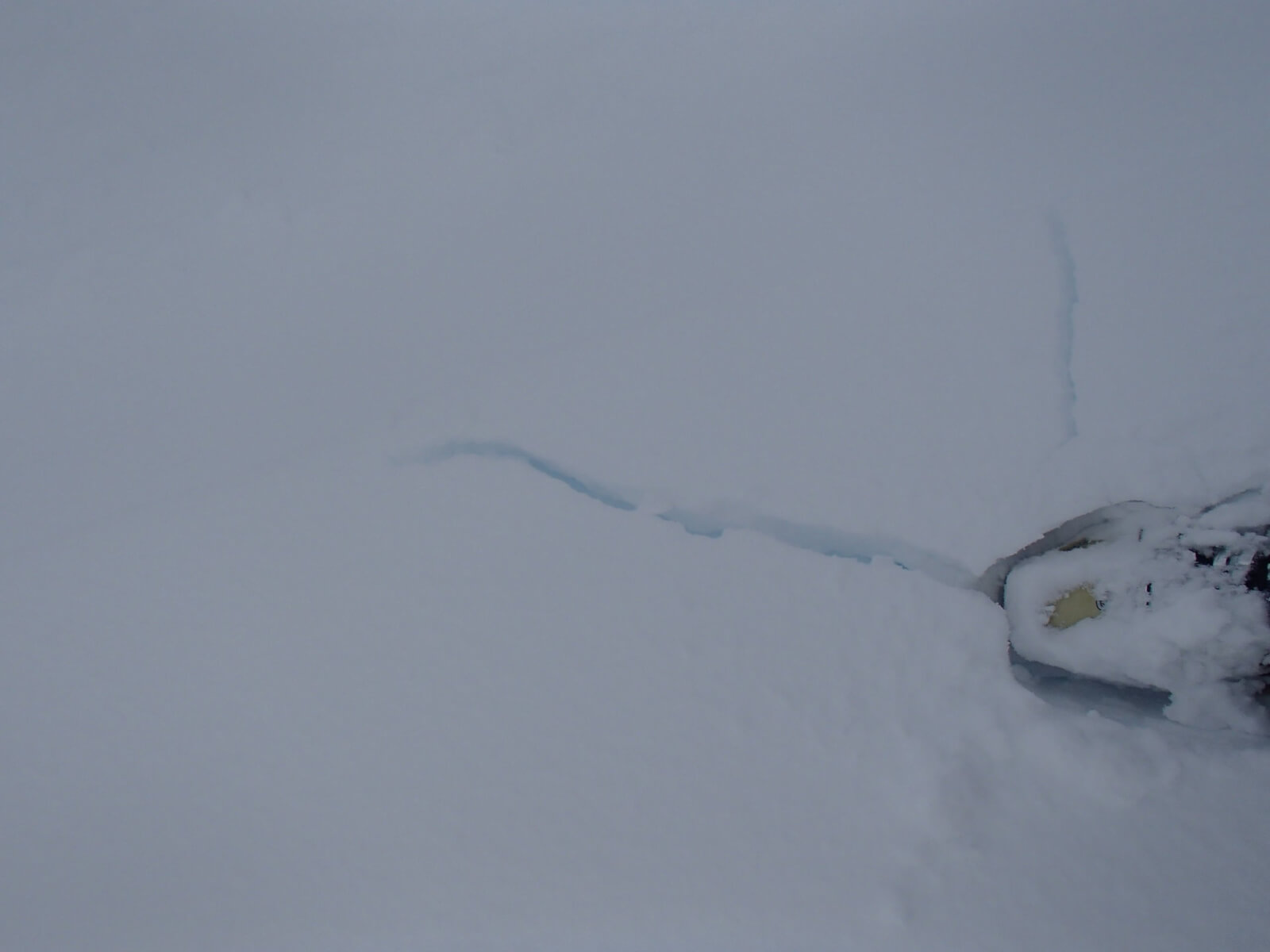
Cracking underfoot this morning this gives signs of weaknesses in windslab deposits, this was on a North-Easterly aspects.
Southerly aspect on Meall a’ Bhuiridh taken at around 1100 metres.

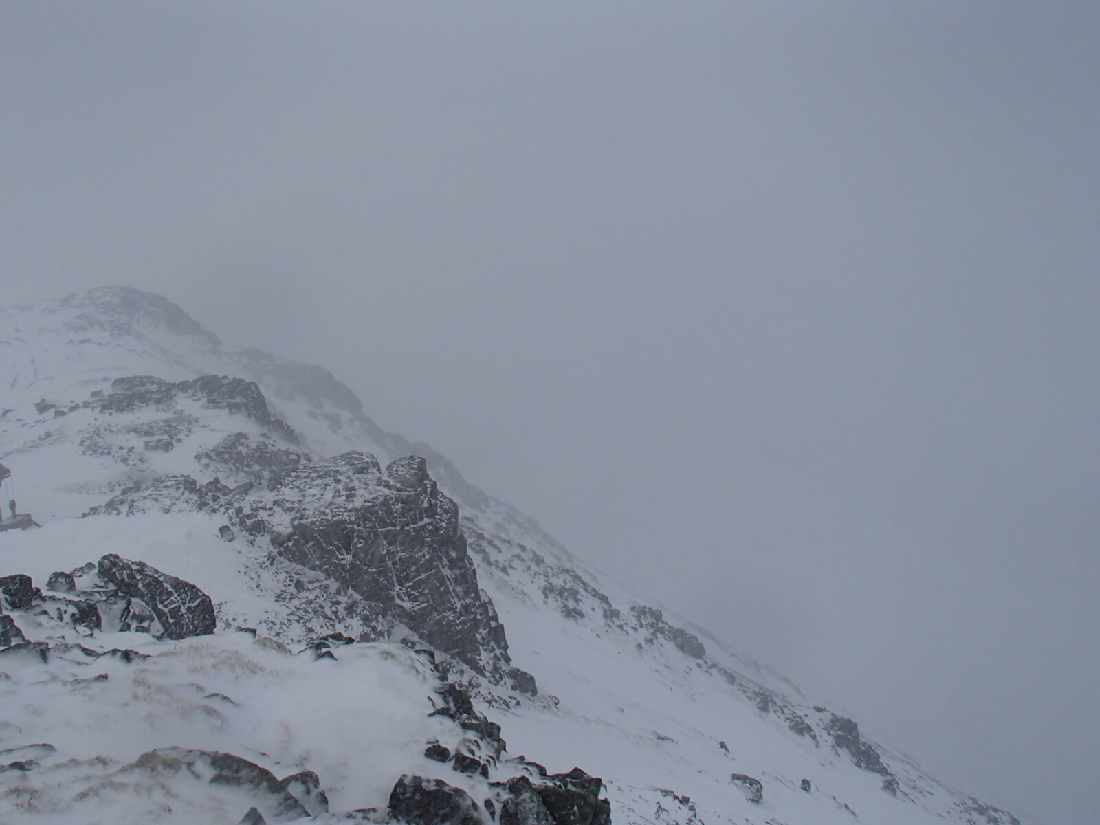
Strong North-Westerly winds distributing new snow into sheltered locations.

A brighter spell looking across to Meall Blalach
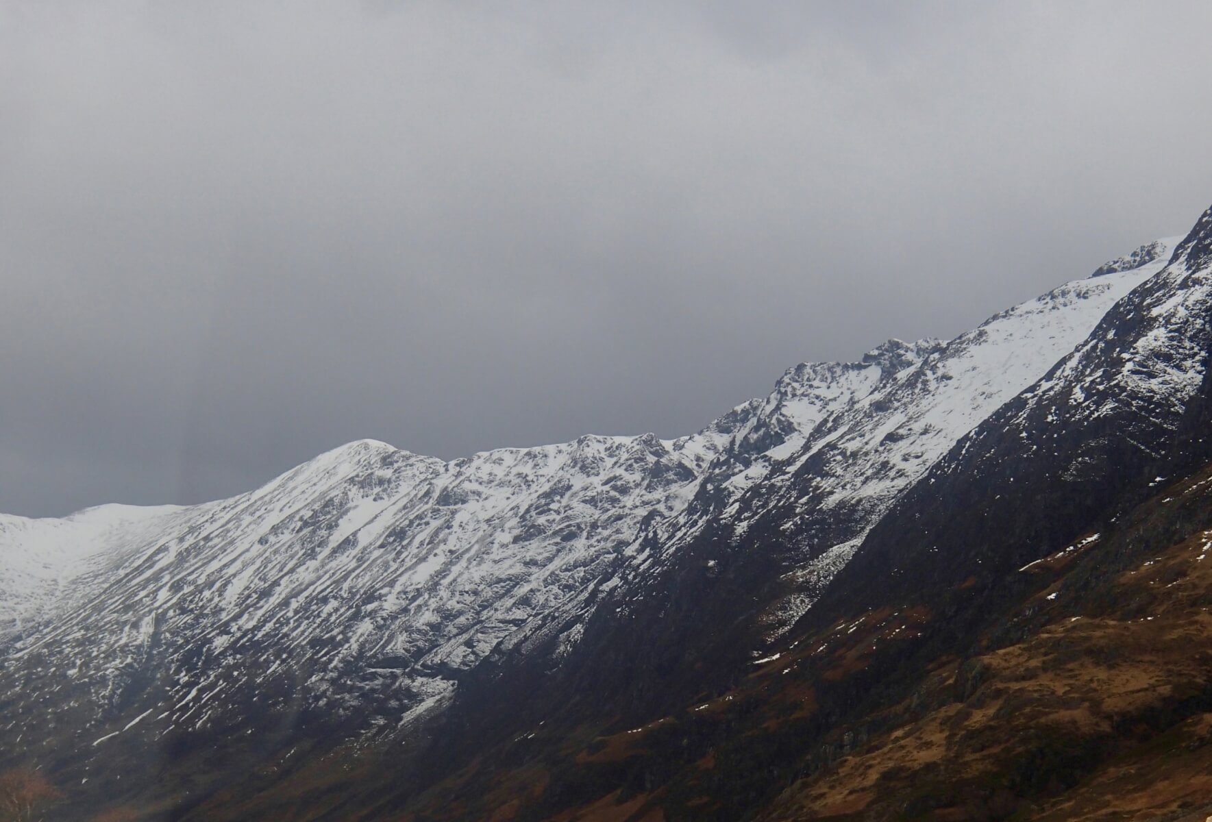
Sron na Lairig at the head of Lairig Eilde with Stob Coire Sgreamhach on the right.
Southerly aspect of the Aonach Eagach.
Comments on this post
Got something to say? Leave a comment


