Snow Showers
6th February 2022
Snow showers were the main feature of today, with snow falling throughout the period. Unstable windslab continued to build through the day mainly on North-East to South-East aspects above 950 metres.
Given the complicated topography of the glen’s ridge crests and buttresses, isolated accumulations were also noted on North and North-West aspects due to cross loading. Such has been the ferocity of the wind.
Avalanche activity was also noted on an East aspect on Stob Coire nan Lochan. This most likely occurred yesterday demonstrating the unstable windslab in steep wind sheltered locations.
Windslab will continue to build overnight and through tomorrow before any precipitation gradually turns to rain at all elevations. Avalanches are likely during this warmer thawing period and the avalanche hazard will be Considerable above 950 metres on North-West through North-East to South-East aspects.
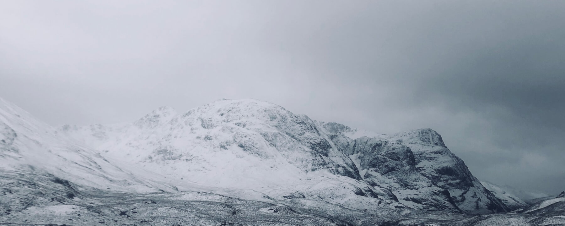
The Three Sisters – Beinn Fhada, Gearr Aonach and Aonach Dubh. The classic ridge of Sron na Lairig is visible on the left along with the summit of Stob Coire nan Lochan centre.
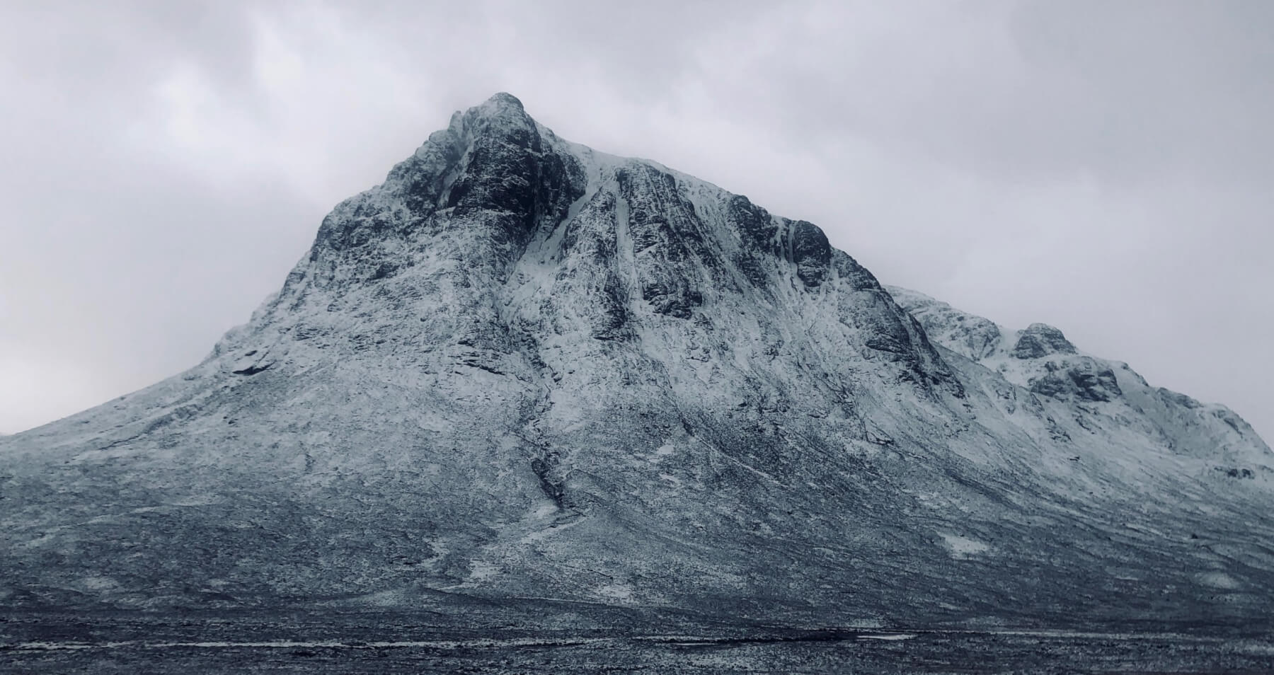
Stob Dearg, Great Gully only really holding snow at the higher elevations.

The cliffs of Stob Coire nan Lochan. Quite a few folk out today, zoom in to spot folk on the classic mixed line ‘Central Grooves’ VII,7…

A party on the walk in. Note the reduced visibility from the transport of new fresh snow. This was being deposited in steep wind sheltered locations forming soft unstable windslab.
Comments on this post
Got something to say? Leave a comment


