High pressure continues to dominate the area…
23rd March 2022
High pressure continues, so it was another dry day with warm temperatures with the freezing level well above the summits. Winds were fresh and from the South-East this morning then veering and easing becoming South-Westerly in the afternoon.

Stob Coire Sgreamhach on the left with the Lost Valley buttresses centre right.

From the summit of Meall a’ Bhuiridh looking towards Sron na Creise then Stob Dearg with Nevis in the distance.
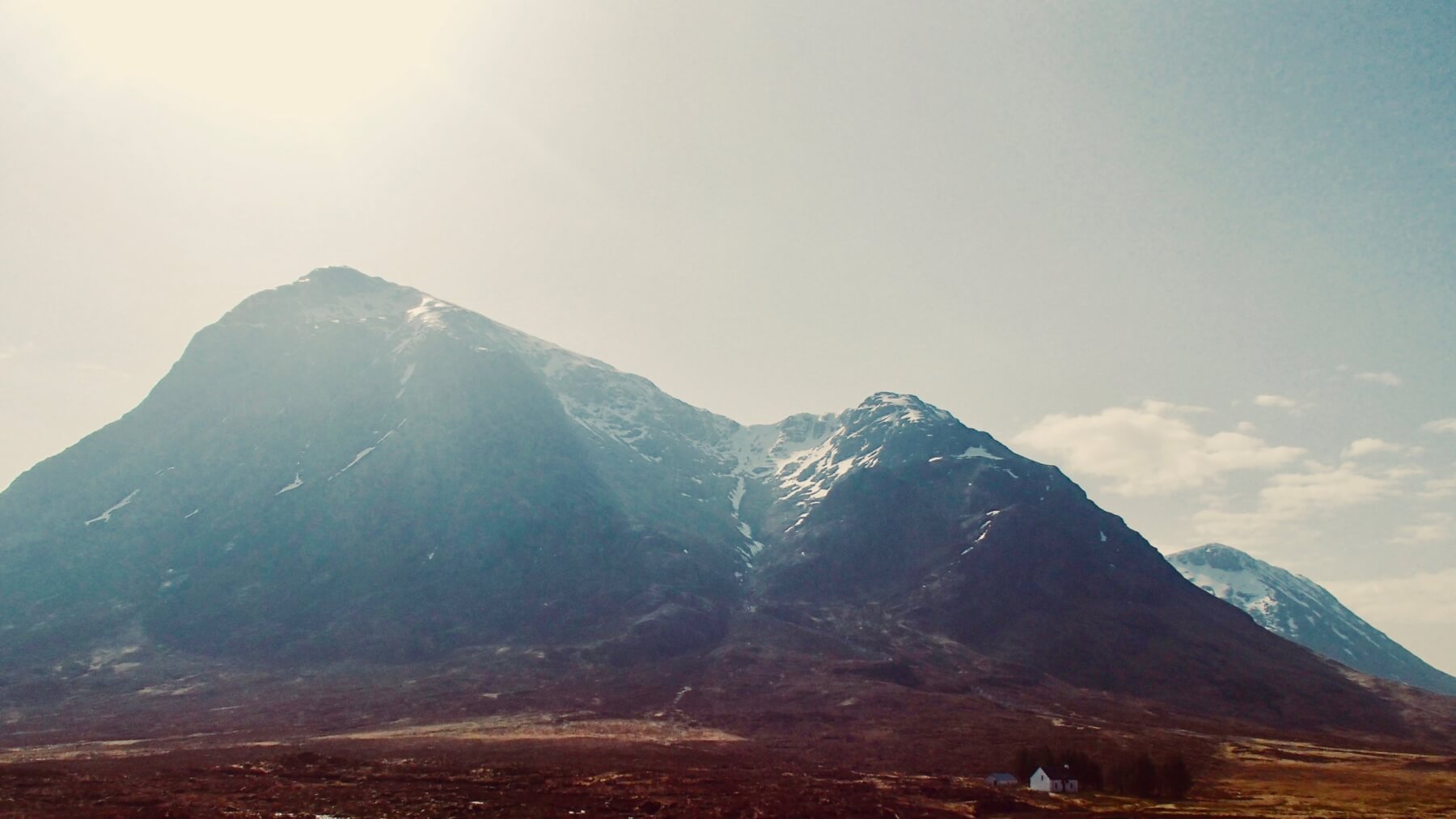
Stob Dearg and Coire na Tulaich.
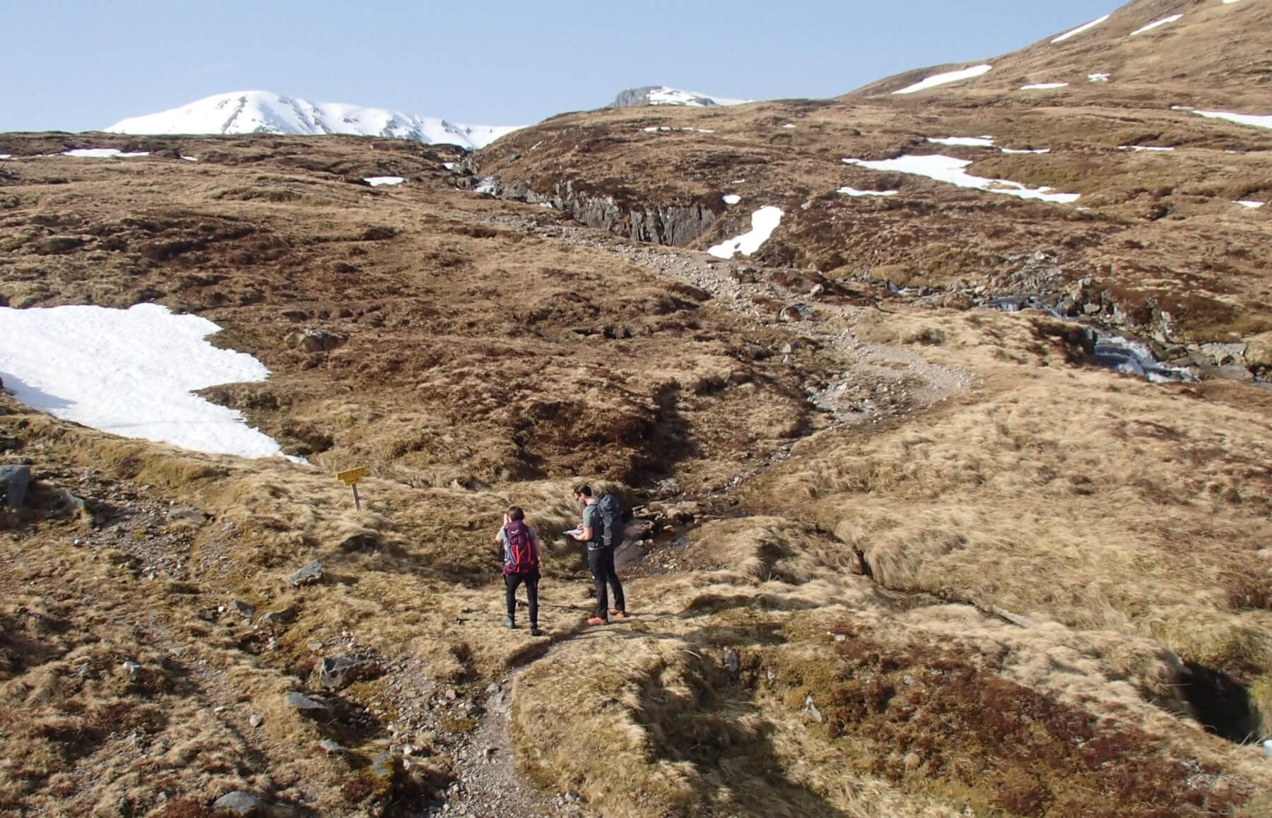
Below 600 metres its like summer.
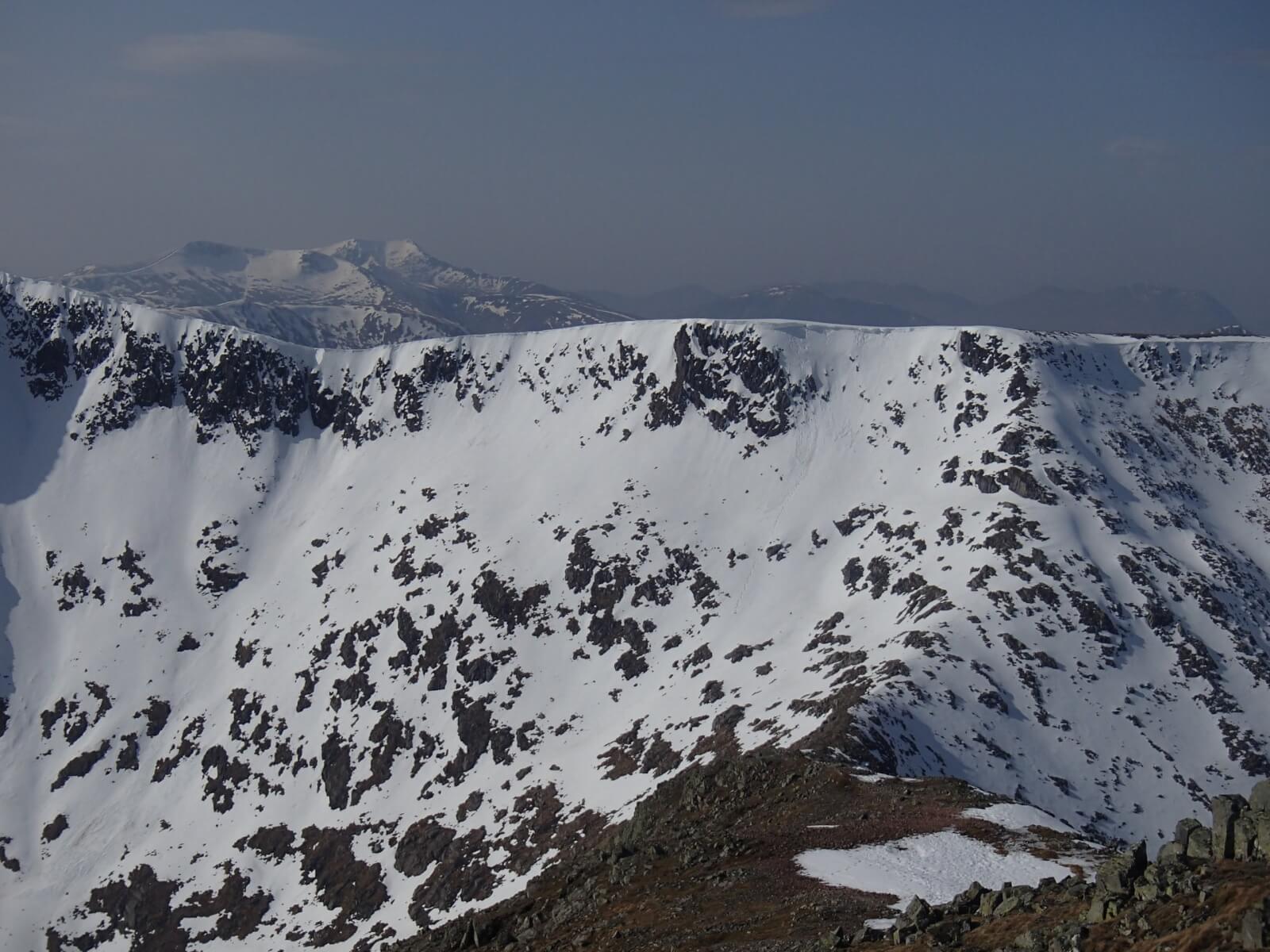
Cornice collapse on Clach Leathad

The Glen Coe 3 sisters with the peak of Stob Coire nan Lochan.
Tomorrow weather forecast influences: The freezing level will remain well above the summits throughout the period. The fresh Southerly winds will veer and ease becoming West-South-Westerly. Cloudier than of late, should be mainly a dry but with the possibility of drizzle or light rain in the morning.
Forecast Snow Stability and Hazard: Little change is expected to the snowpack. Overnight, the snowpack will partially consolidate. During the day it will become moist and soft in all locations but should remain generally well bonded and stable. Remaining cornices will be prone to collapse. The avalanche hazard will be Low.
Comments on this post
Got something to say? Leave a comment


