Sunny and warm….
19th March 2022
Today was dry and sunny with fresh Southerly winds the freezing level was above all the summits. Last night the snowpack re-froze leaving an ice surface layer this soften during the course of the day particularly on slopes exposed to the direct sunshine. It was 16.2 degrees Celsius at sea level at midday.

Stob Coire nan Lochan.

Summit of Stob Dearg, Buachaille Etive Mor on the left with Nevis in the distant right taken from Meall a’ Bhuiridh.
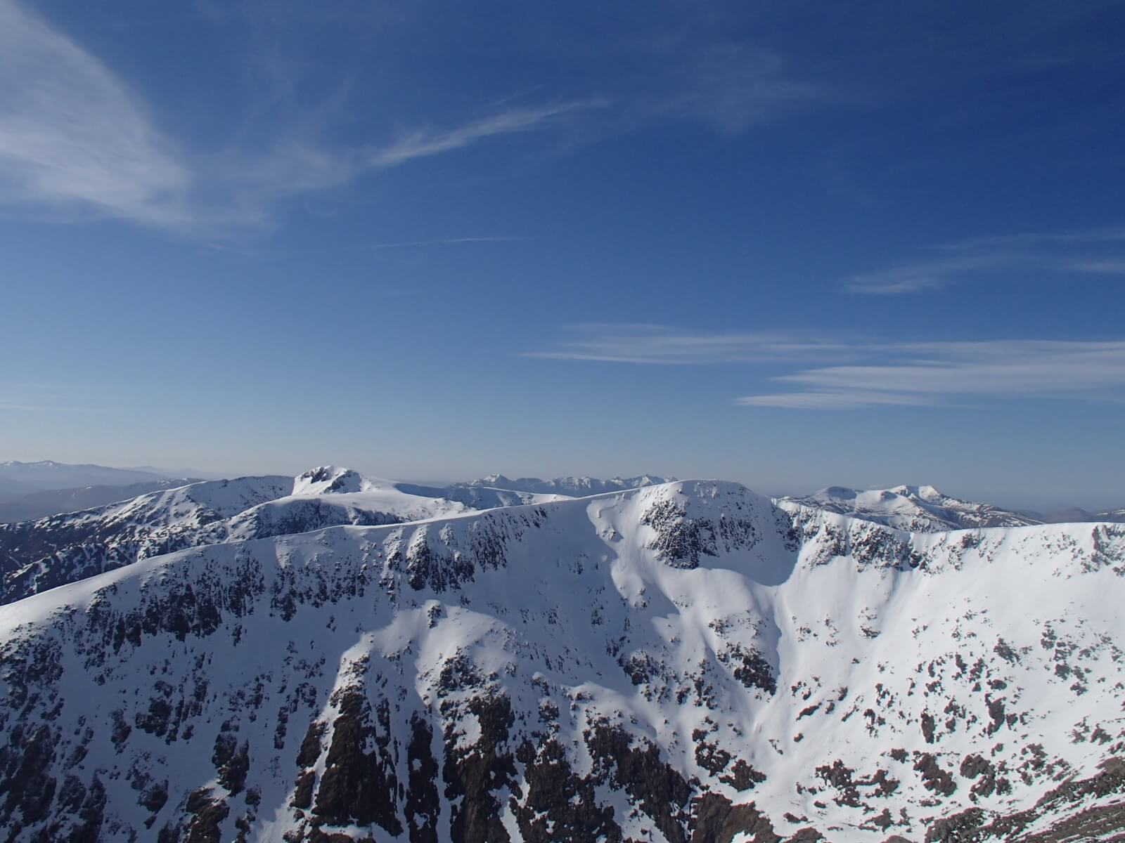
Clach Leathad in the foreground with Stob Ghabhar behind on the left side and Ben Starav in the distant right.

Northerly aspect of Stob Dearg.
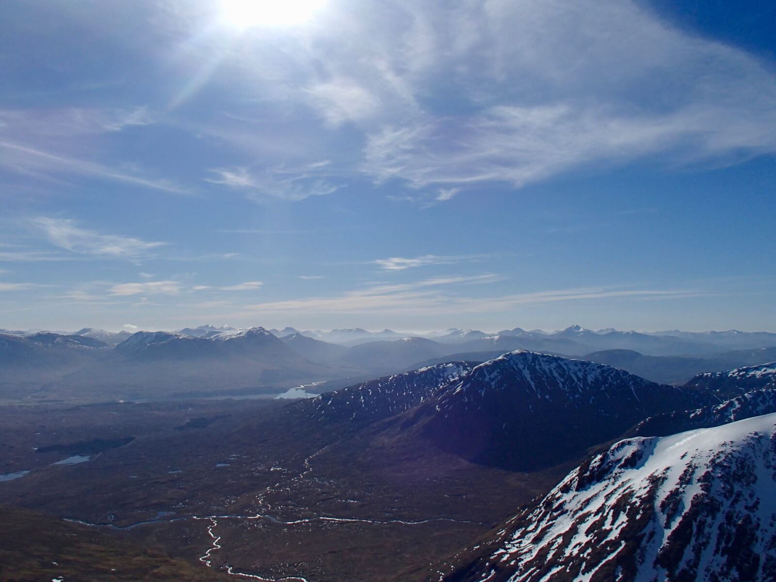
Looking southwards to the Orchy hills.

Icy sheen of the frozen snowpack this morning at 1100 metres.
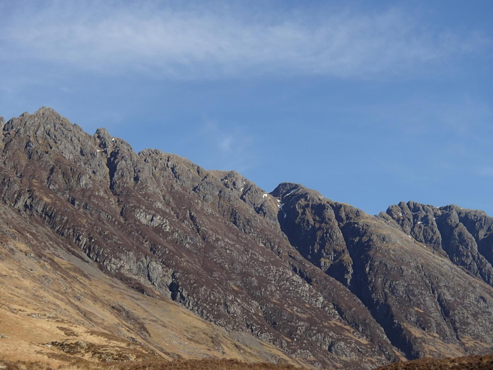
Southerly aspect of the Aonach Eagach ridge.
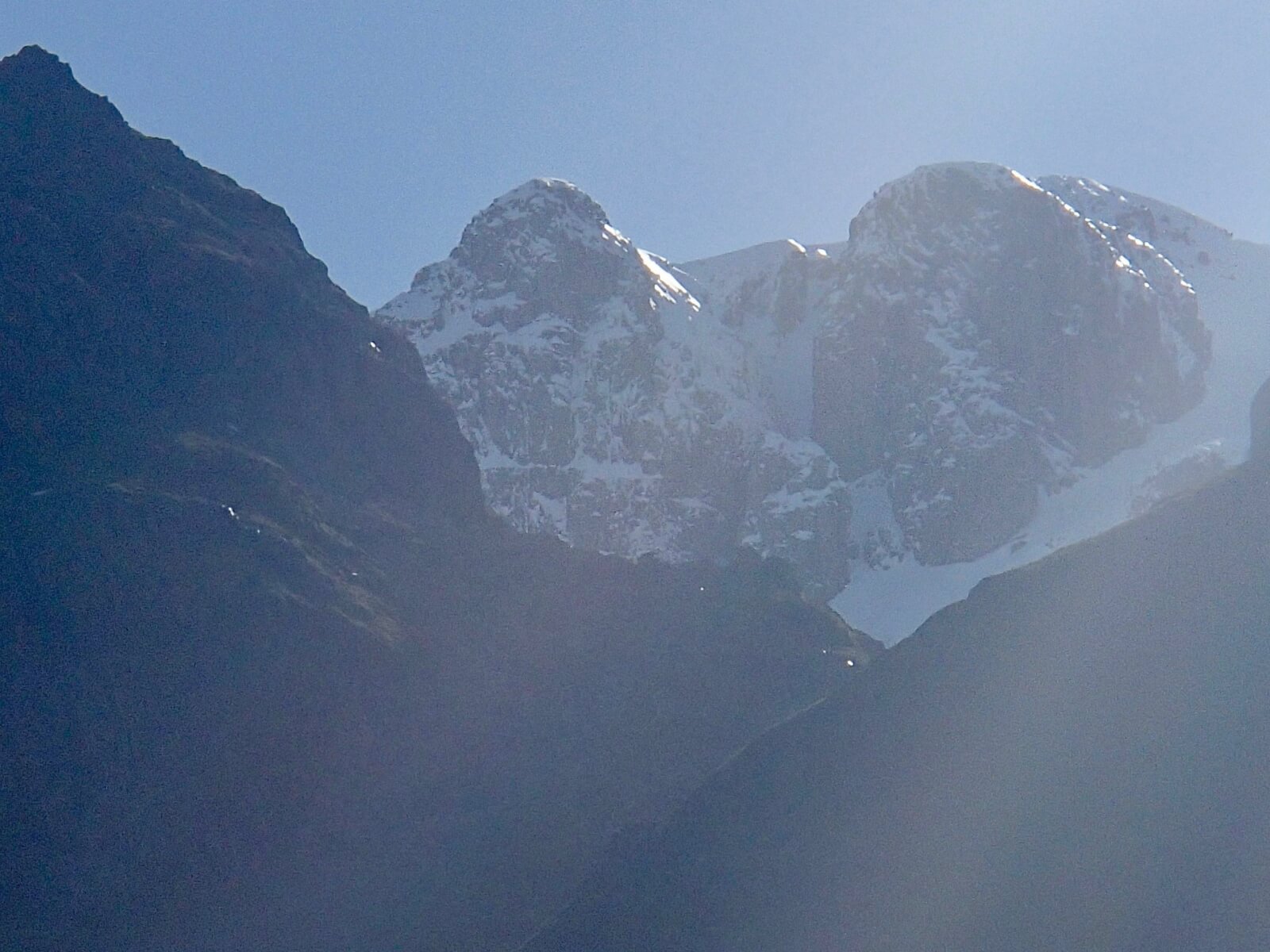
Diamond and Church Door buttresses and the summit of Bidean just left of Church Door buttress, Central Gully in the middle.
Avalanche Forecast Snow Stability and Hazard: The snowpack will re-freeze overnight and consolidate remaining generally well bonded and stable in all locations. Isolated surface instabilities may develop on slopes exposed to the sun during the day. Cornices will be prone to collapse. The avalanche hazard will be Low.
Comments on this post
Got something to say? Leave a comment


