A cool spring day…… a change afoot tomorrow !!
2nd April 2022
Very light accumulations of new snow fell last night on all aspects mainly above 600 metres. Today was dry, with light Easterly winds. The freezing rose to around 800 metres by mid-day.
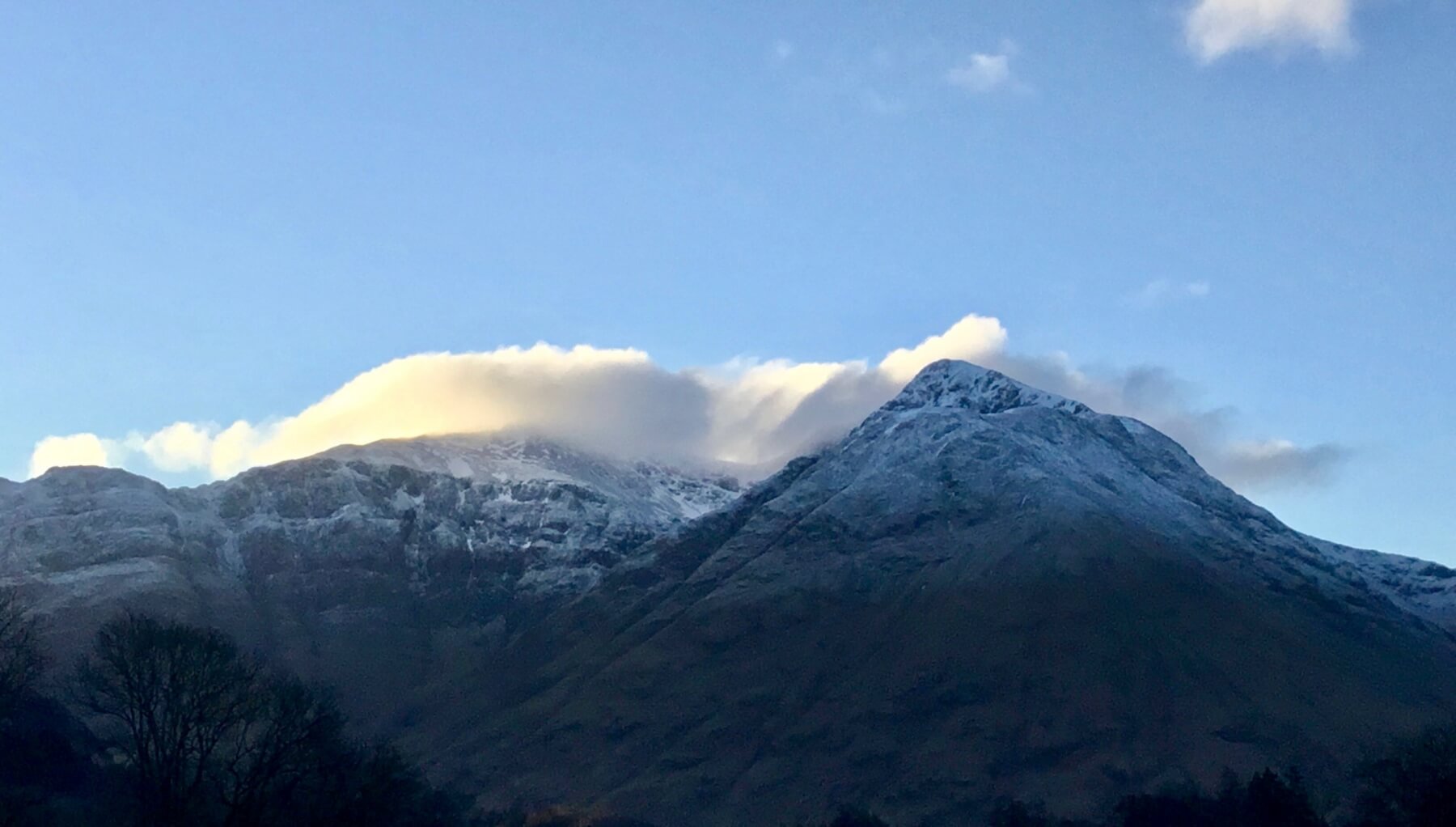
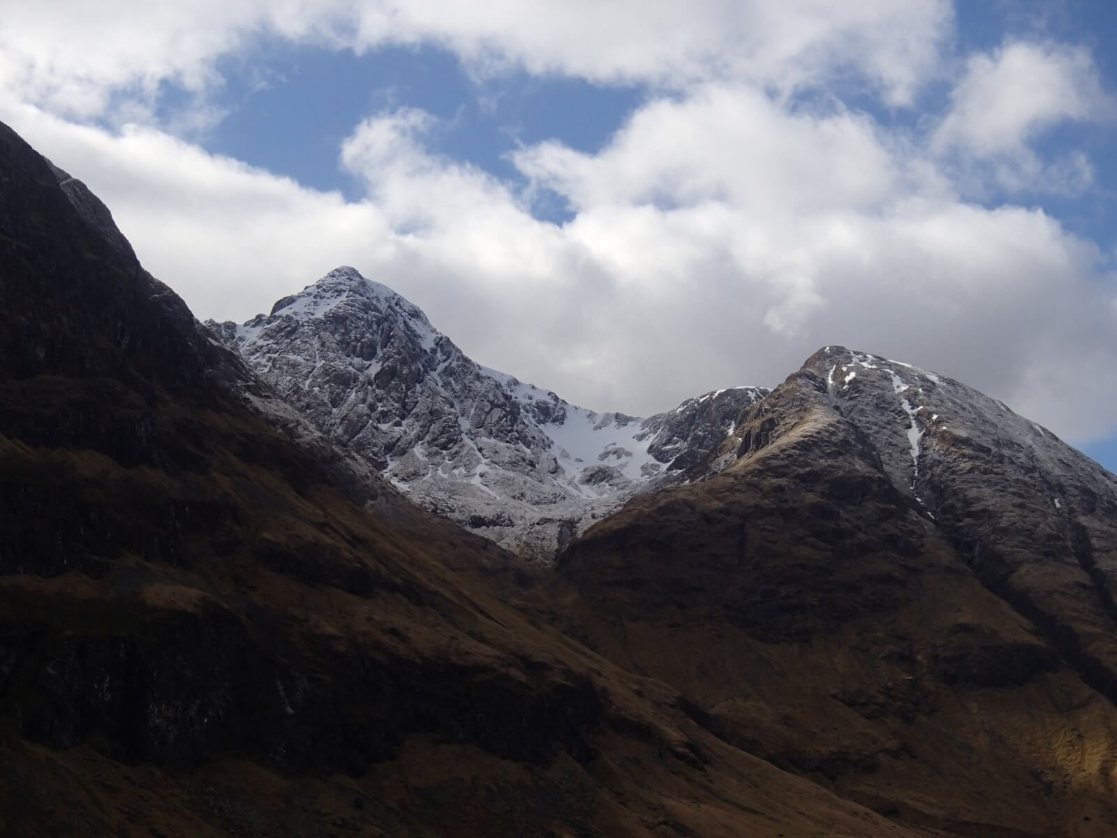
Looking at the west face of Aonach Dubh this morning with Stob Coire nan Lochan capped in cloud with Bidean on the right. Last night new snow is quite evident.
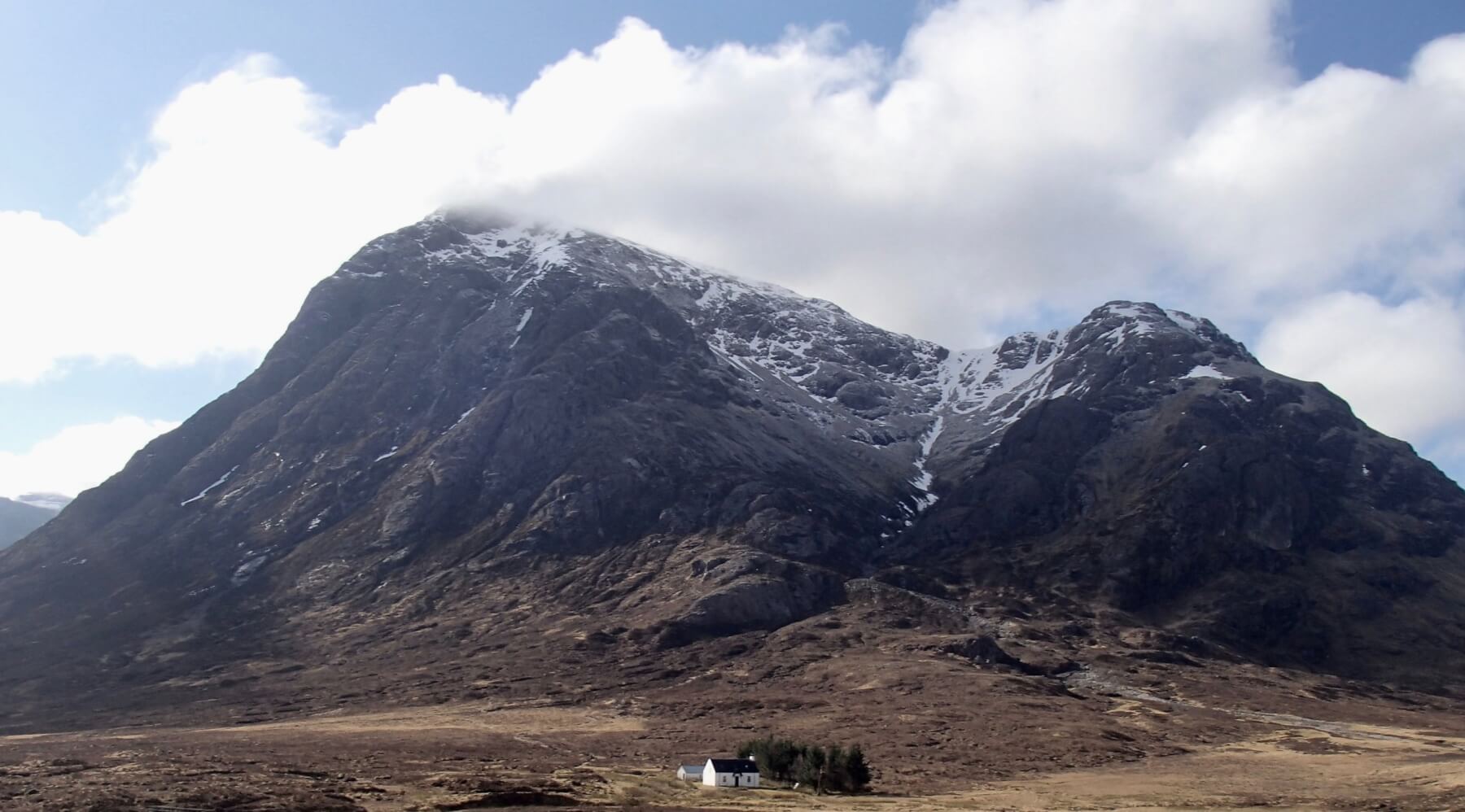
Stob Dearg on the left with Coire nan Tulaich above Lagangarbh cottage.
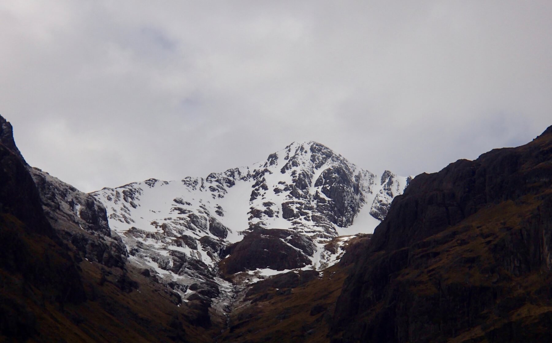
Stob Coire nan Lochan which had plenty of visitors today.
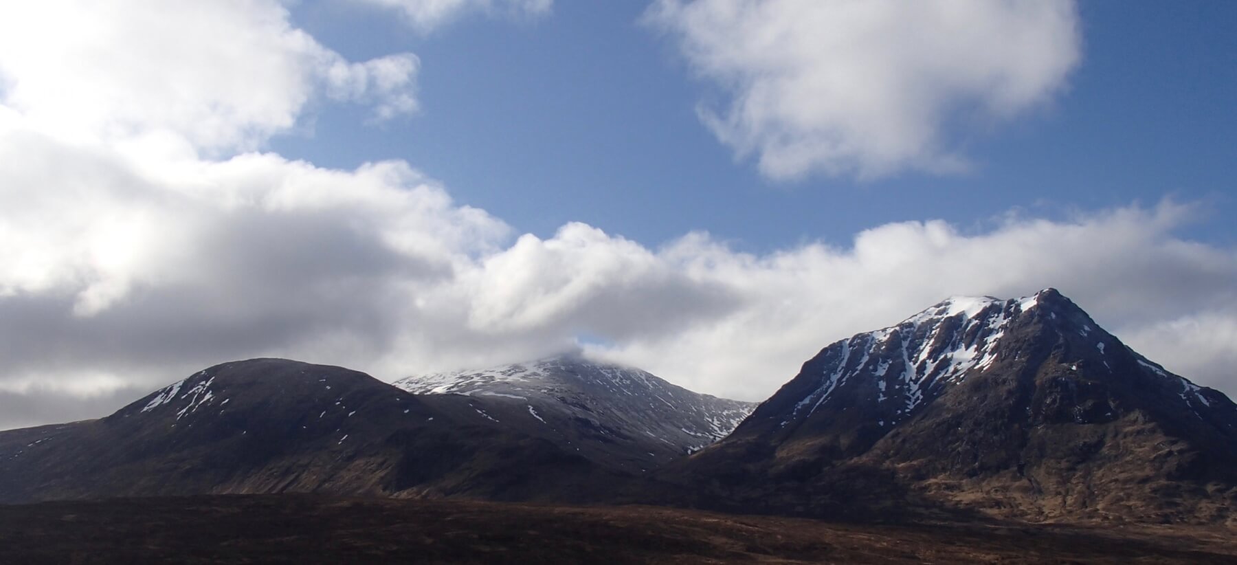
Meall a’ Bhuiridh and Sron na Creise.

Diamond and Church Door buttresses in Stob Coire nam Beith.
Stob Coire nam Beith.
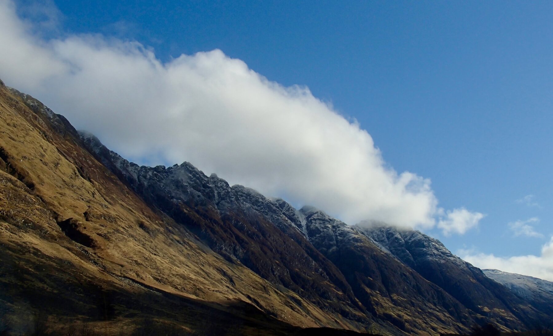
The Southerly aspect of the Aonach Eagach ridge.
Weather Forecast Influences: Overnight, dry, calm and cold, with the freezing at around 700 metres. These conditions should continue through most of the morning. Then the freezing level will start to rise becoming well above the summits by mid afternoon. Snow showers at first turning to rain at all levels. The Westerly winds will steadily strengthen through the day becoming Gale Force by mid afternoon.
Forecast Snow Stability and Hazard: New snow amounts will be slight and will quickly thaw as the freezing rises above all summits, accompanied by rain. The stable, frozen older snowpack will start to thaw but should remain generally stable. In the transition period, localised surface wet snow instabilities may be present in new snow fall on steep North to Easterly aspects mainly above 900 metres. Any remaining cornices will prone to collapse. The avalanche hazard will be Low.
Comments on this post
Got something to say? Leave a comment


