Cold, Northerly wind…
7th April 2022
Snow showers falling to lower levels early this morning gave way to a predominately dry day with just the odd isolated snow shower in the afternoon. The freezing level was around 550 metres. Winds were fresh to strong from a Northerly direction.
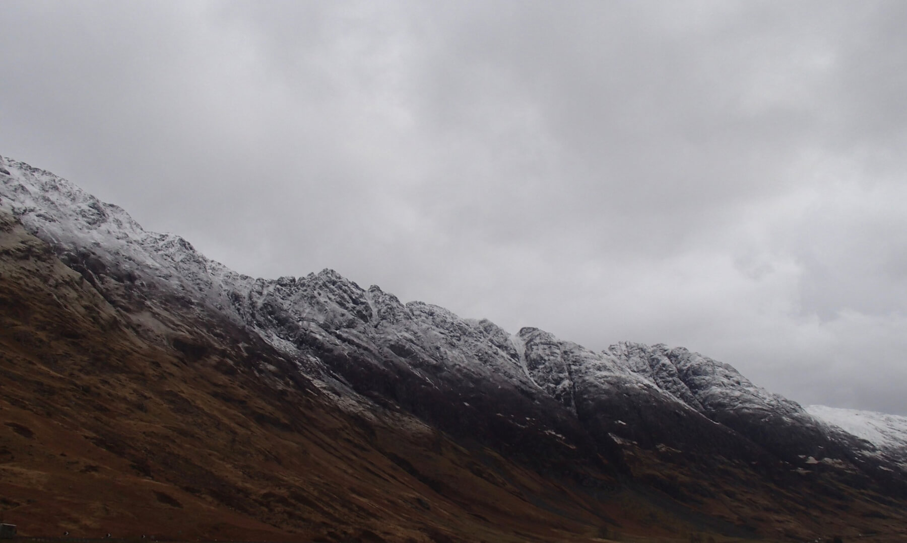
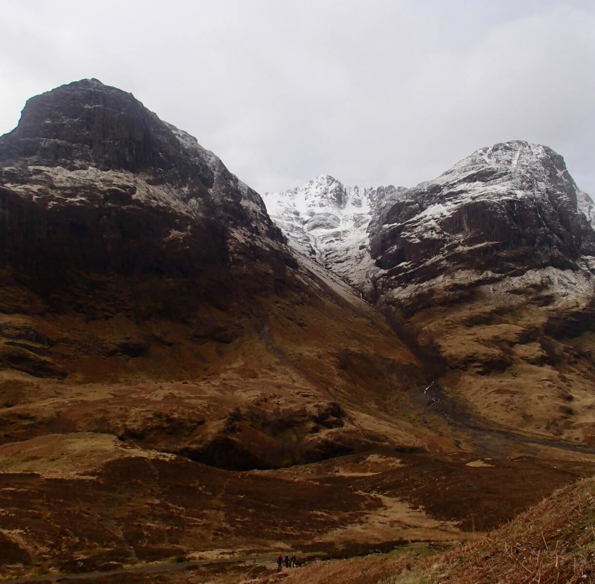
Aonach Eagach Ridge this morning.
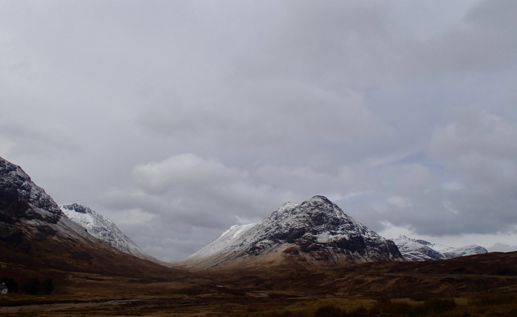
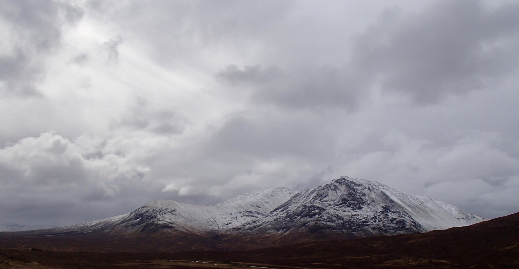
Lairig Gartain with Buachaille Etive Beag on the right.
Looking down the Southerly aspect of Meall a’ Bhuiridh with Clach Leathad in the distance.
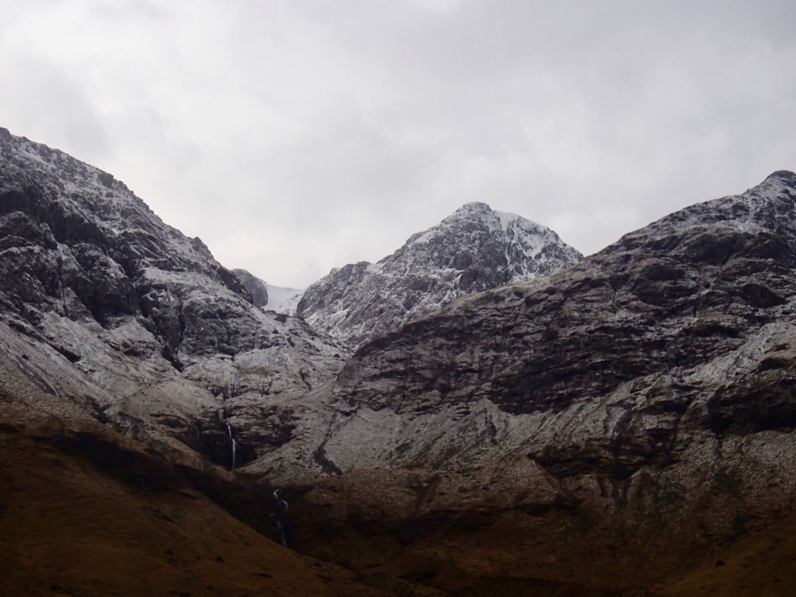
Stob Coire nam Beith.

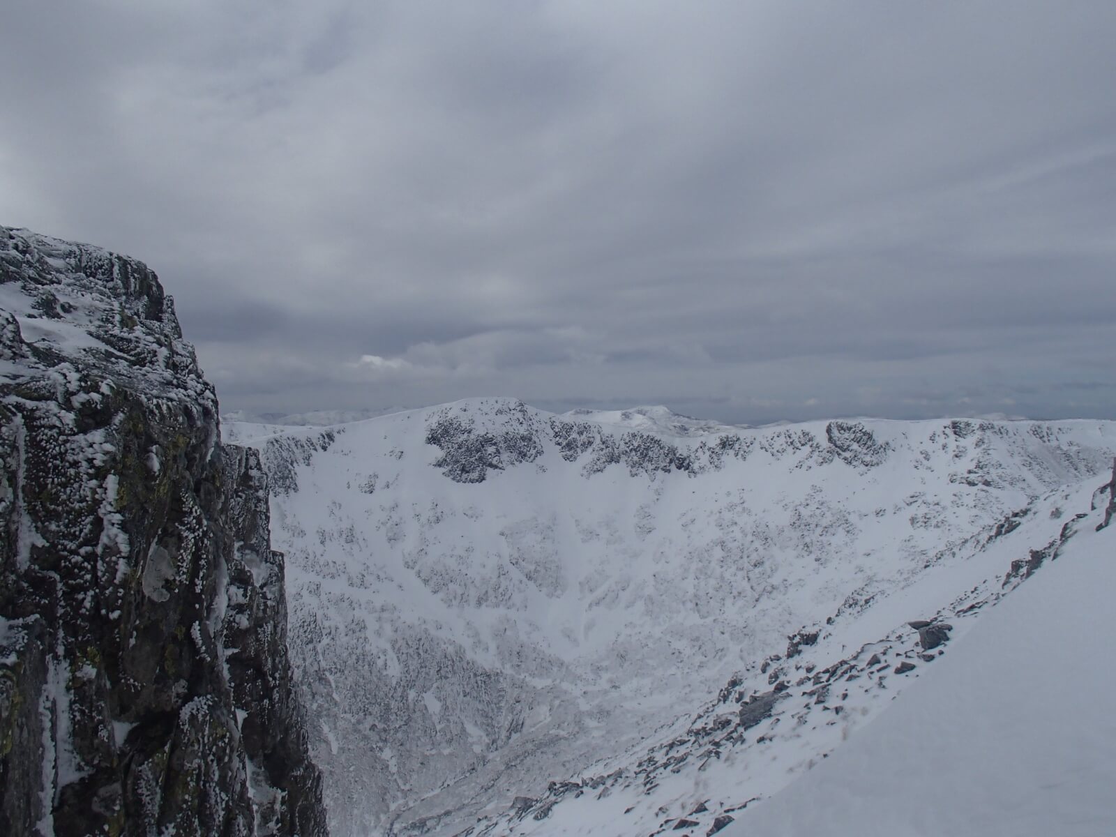
Strong Northerly winds seen redistributing snow into wind sheltered locations on Stob Coire nan Lochan. Bidean on the right.
Meall a’ Bhuiridh and Sron na Criese.

Looking towards the Mamore hills and Ben Nevis.
Stob Coire nan Lochan.
Forecast Weather Influences: Freezing level at around 500 metres. Light snow showers falling through the forecast period accompanied by fresh North-Westerly winds.
Forecast Snow Stability and Hazard: Further shallow localised areas of moderately bonded windslab will continue develop in wind sheltered locations. North-East to South-Easterly aspects above 900 metres will be particularly affected with deepest accumulations in steep sheltered gullies, on scarp slopes and coire headwalls. New snow deposits will also develop on all other aspects but these are not expected to be deep or extensive. Fragile cornices will continue to develop on lee slopes. The avalanche hazard will be Moderate.
Comments on this post
Got something to say? Leave a comment


