Deteriorating conditions….
3rd April 2022
What a difference a day makes! Compare yesterday’s glorious spring, sunny conditions with todays photos. It started out dry and relatively cold and bright but clouds spread in from the west and light scattered precipitation started around mid-day. The freezing level slowly climbed to around 900 metres and the Westerly winds strengthened.
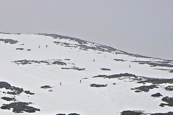
Glen Coe mountain ski resort on Meall a’ Bhuiridh.
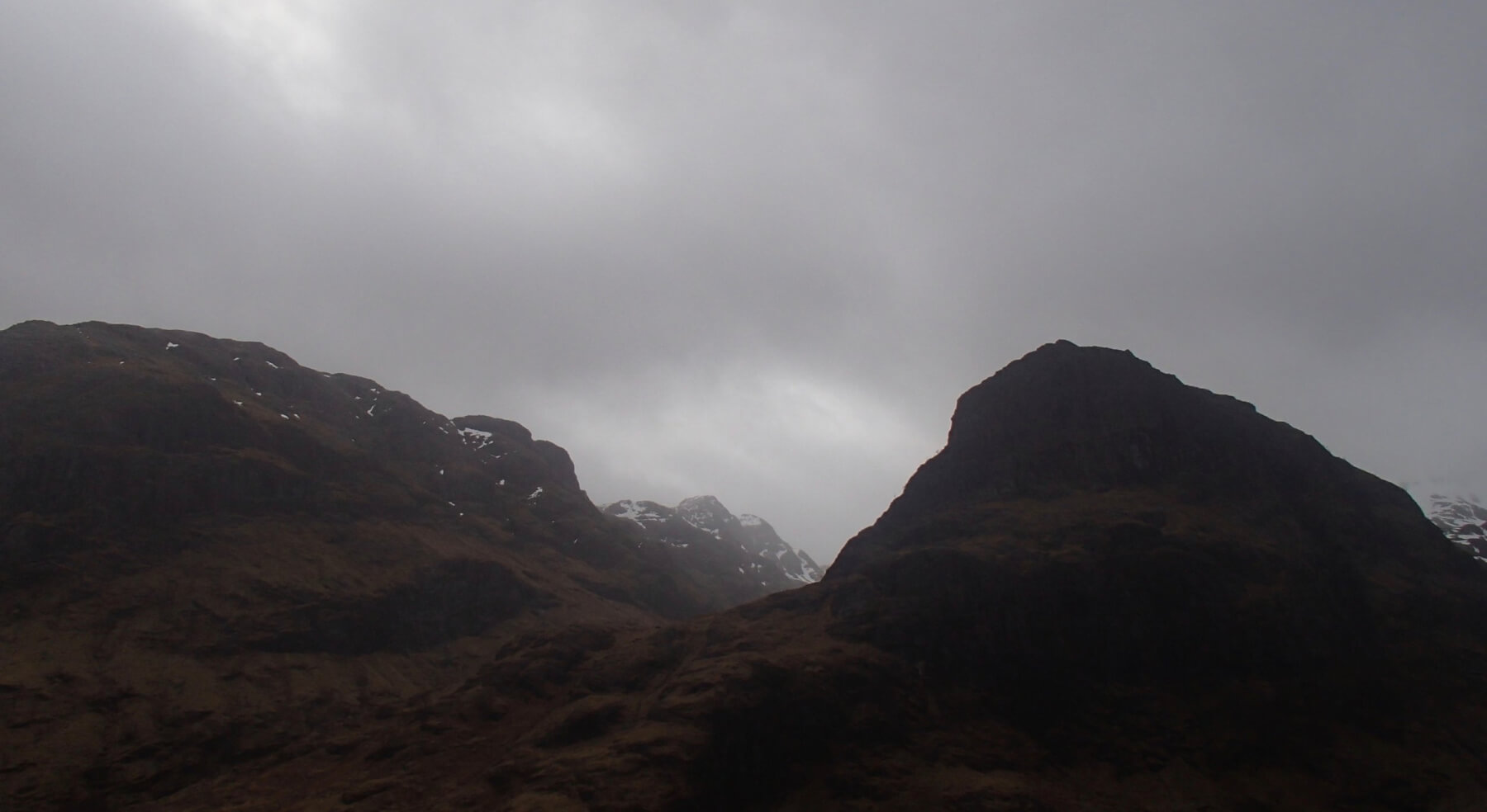
Looking into Coire Gabhail (lost valley). Beinn Fhada on the left and Gearr Aonach on the right.
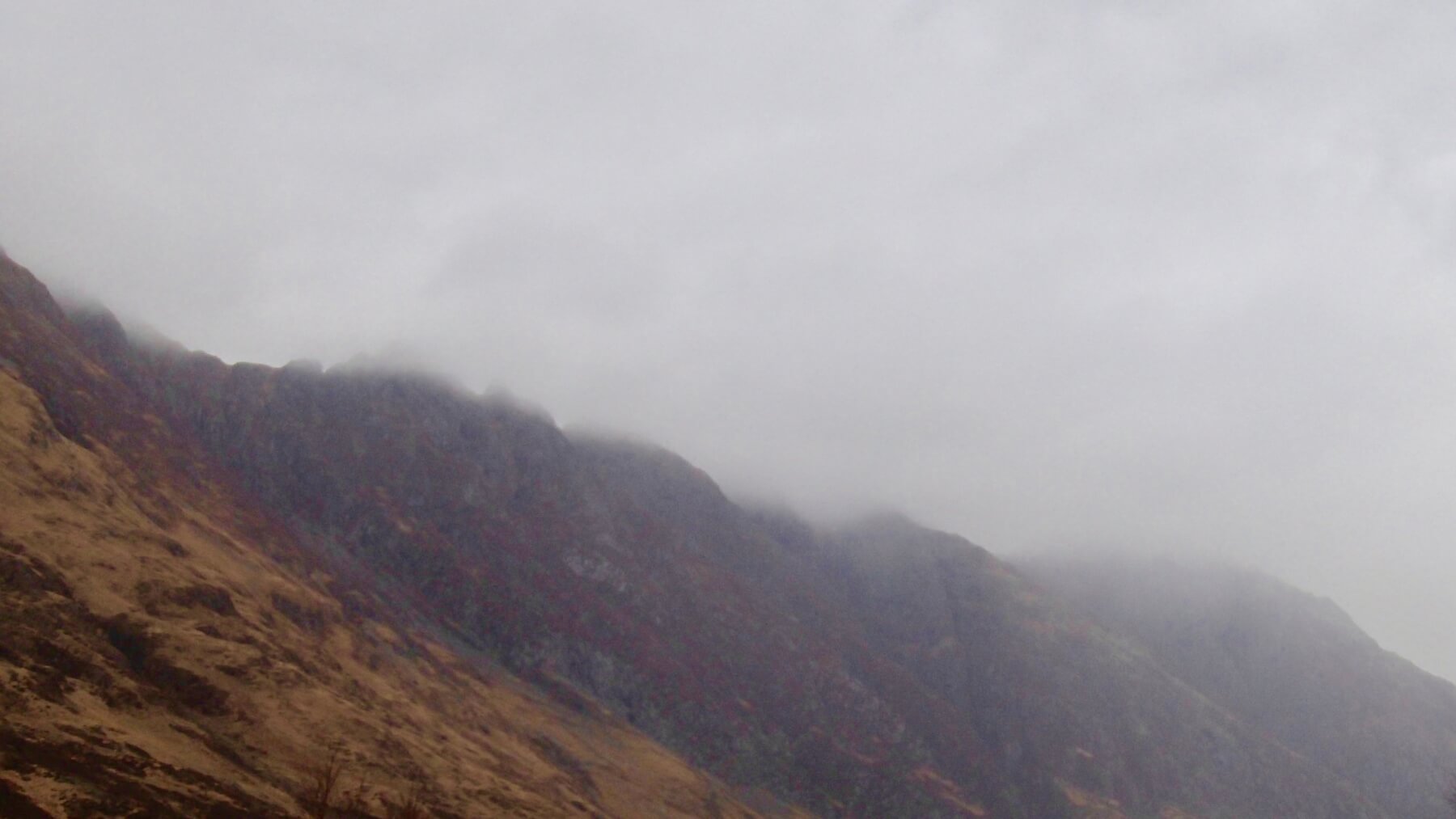
The Aonach Eagach ridge.
Stob Coire nam Beith, ribbons of ice still clinging to the buttresses..
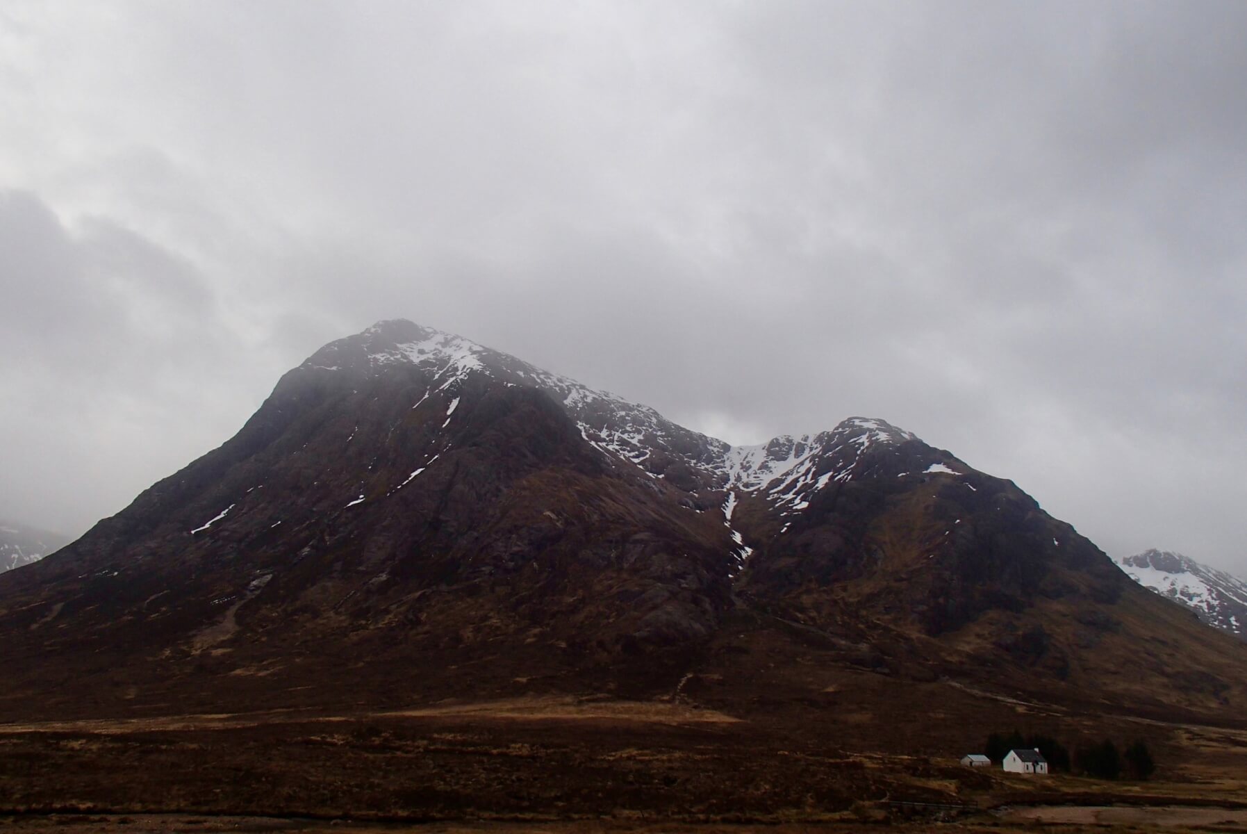
Stob Dearg and Coire na Tulaich.
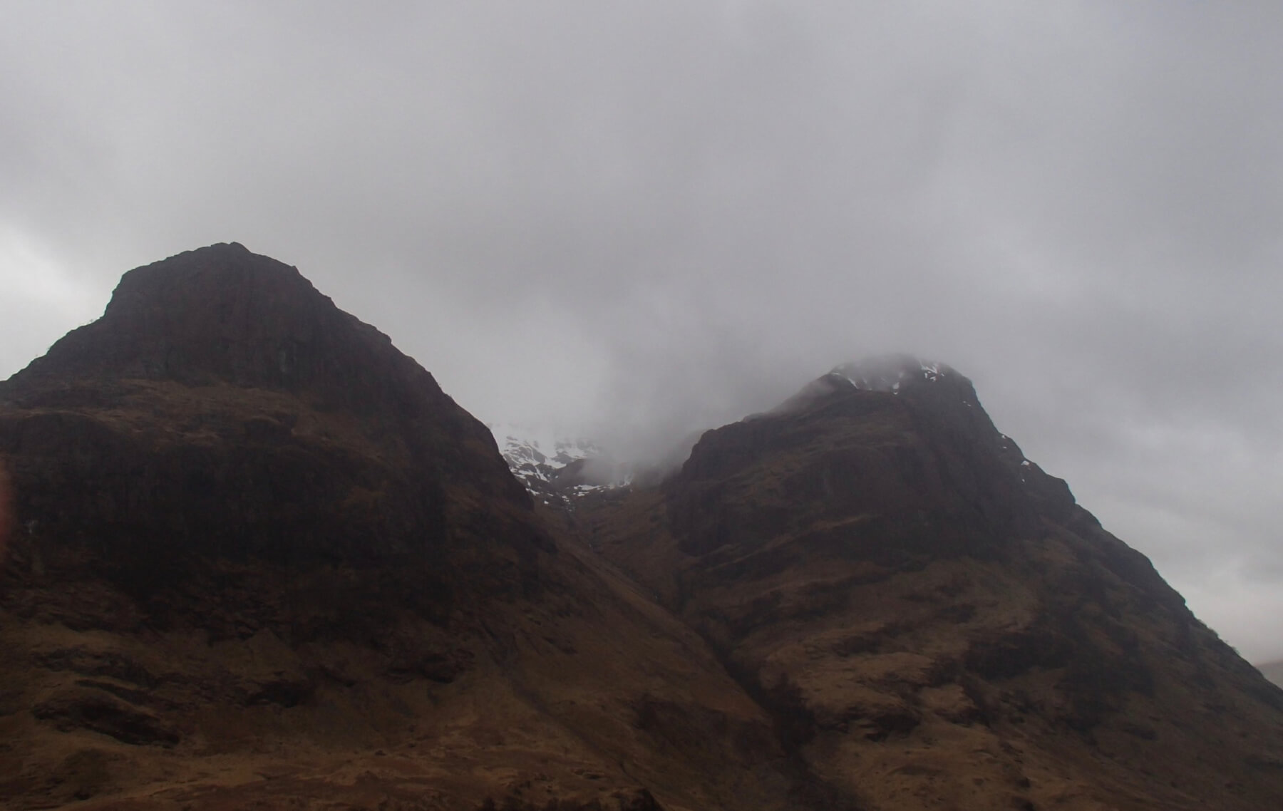
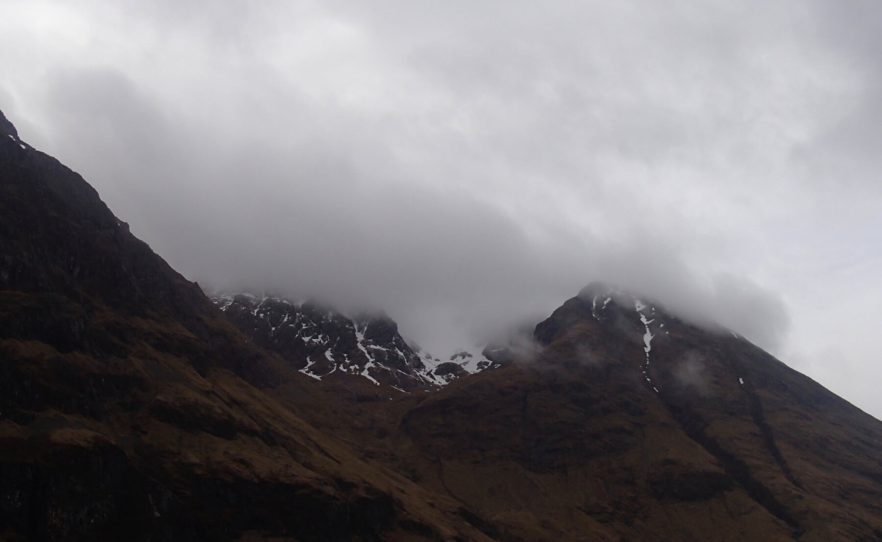
Stob Coire nan Lochan in the clouds, Gearr Aonach on the left and Aonach Dubh on the right.
Weather Forecast Influences:Â Overnight, the freezing level will be well above the summits with rain at all levels and strong Westerly winds. During the day the freezing level will lower slightly to around 1000 metres, precipitation will ease with some drizzle and sleet over the higher summits. Winds will be strong from the West-North-Westerly direction.
Forecast Snow Stability and Hazard: The snowpack will start to thaw at all levels and diminish at lower elevations. Snowpack stability should remain generally good in all locations. Some minor localised surface wet snow instabilities may be present on steeper North to Easterly aspects above 900 metres. Any remaining cornices will be prone to collapse. The avalanche hazard will be Low.
Comments on this post
Got something to say? Leave a comment


