Mild, wet and windy…..
5th April 2022
The freezing level has been above all summits in the area for more than 24 hours. Persistent rain fell  today at all levels accompanied by strong Westerly winds. Not a great day for photography but some images to portray the current conditions.

Northerly aspect of Aonach Dubh with rivulets of rain water running down the face.
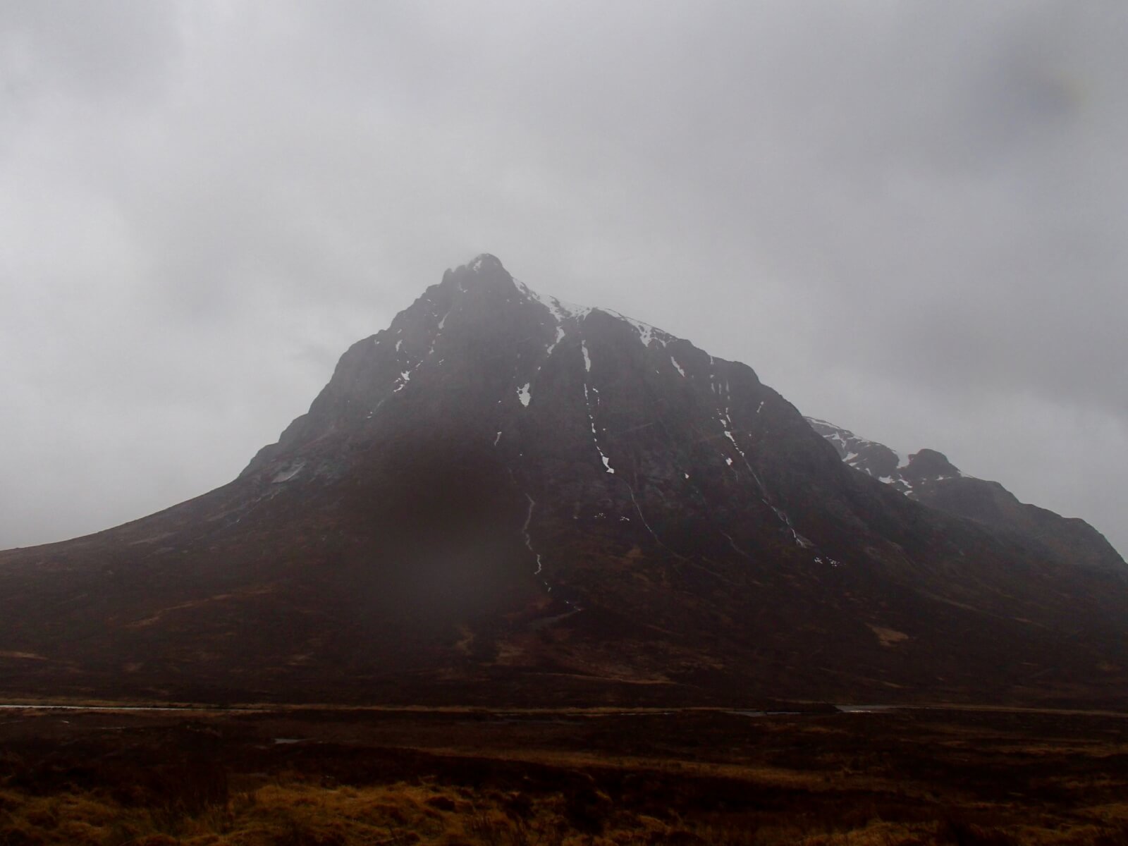
Stob Dearg.

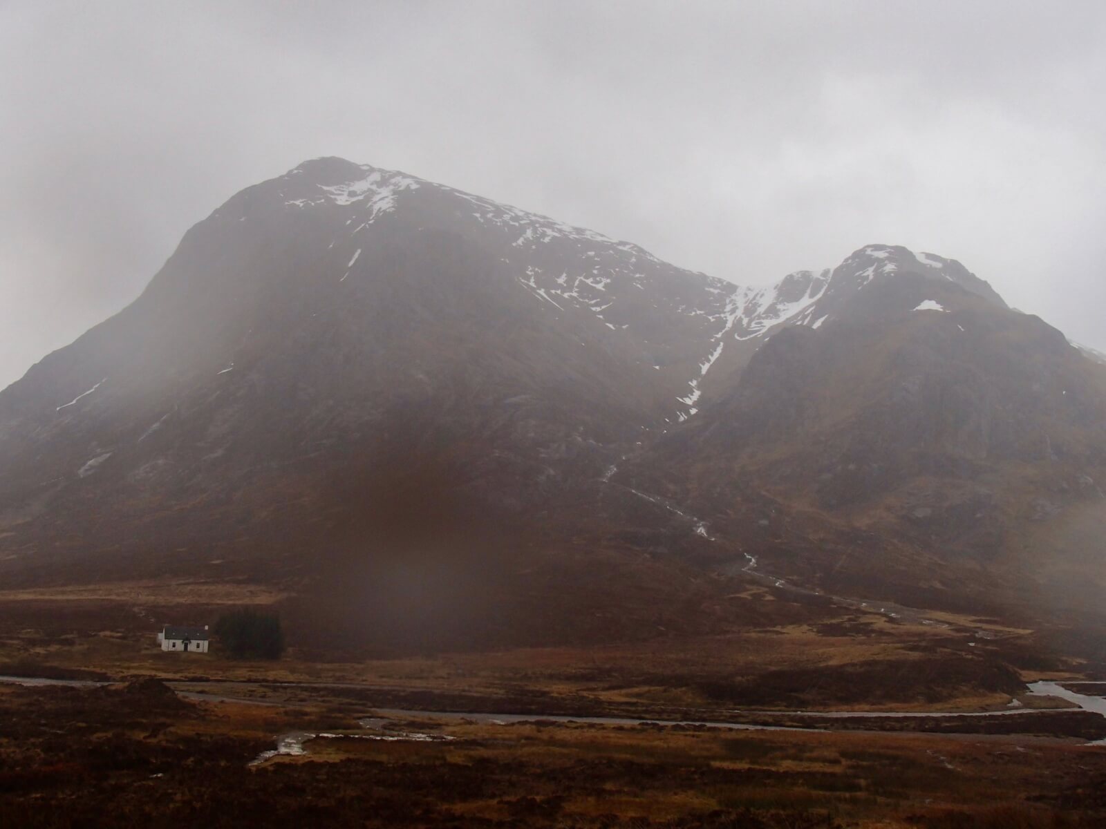
Strong Westerly winds today, Buachaille Etive Mor on the left.
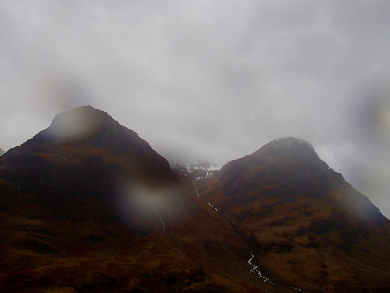
Gearr Aonach on the left and Aonach Dubh on the right with Stob Coire nan Lochan in the clouds.
Plenty of snow melt pouring off the hills today.
Stob Dearg and Coire na Tuliach.
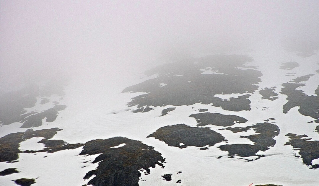
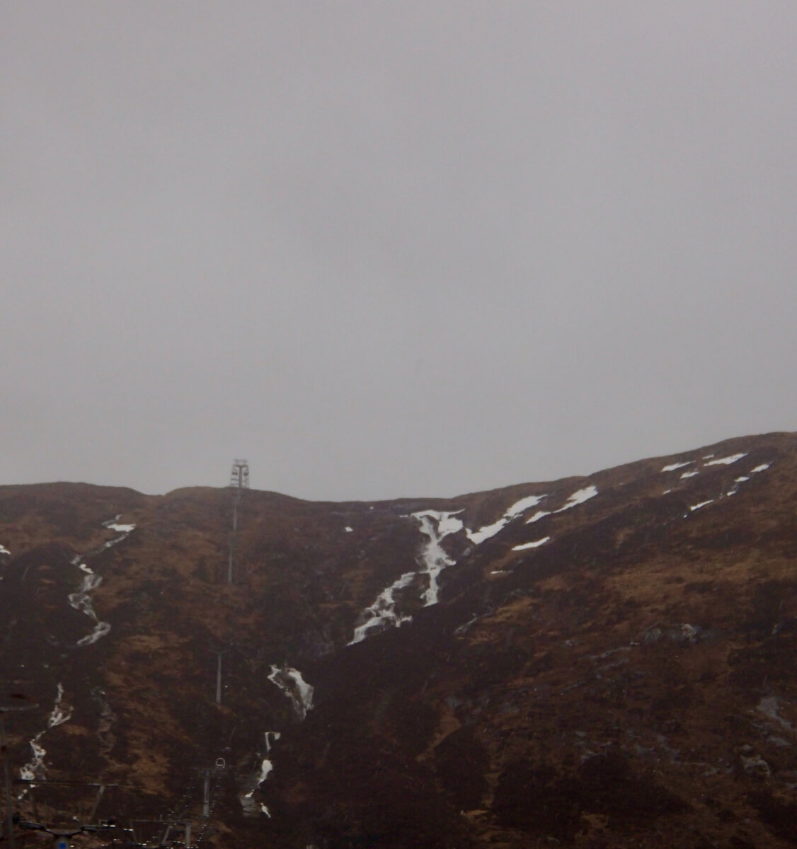
Northerly aspect on Meall a’ Bhuirdh at around 900 metres.
Weather Forecast Influences: Early evening, rain falling at all levels. During the night the freezing level will lower to around 800 metres with snow showers through the rest of the period, falling mainly above 700 metres. The winds will be strong West-South-Westerly becoming South-Westerly during the day.
Forecast Snow Stability and Hazard: The old moist snowpack will consolidate as it turns colder. New moderately bonded windslab will develop in wind sheltered locations mainly on North to Easterly aspects above 900 metres. Areas mostly affected will be steep gully exits and coire headwalls. New cornices will also develop above similar aspects. The avalanche hazard will be Moderate.
Comments on this post
Got something to say? Leave a comment


