Cold South-Easterly airflow…
18th December 2022
The freezing level was around 500 metres with a fresh South-Easterly wind making it feel much colder. It was predominantly dry although plenty of snow was being blown around in the fresh winds.
Avalanche Forecast for Monday 19th December: A rapid rise in the freezing levels accompanied by large amounts of rain and driving winds will saturate the snowpack. This will lead to wet snow instabilities on most steep slopes on all slope aspects above 750 metres where avalanches are likely. Cornices will be prone to collapse. The avalanche hazard will be Considerable.

Looking across the Ranoch Moor, the main A82 road seen as a thin back line in the lower part of the photo.

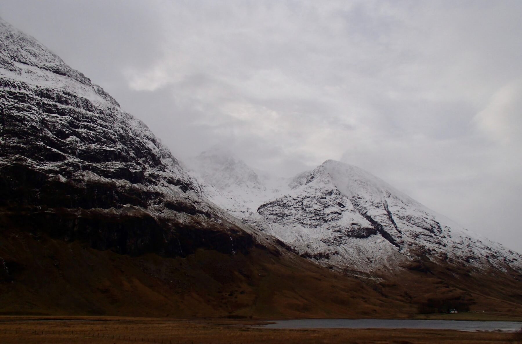
Stob Dearg – Buachaille Etive Mor.
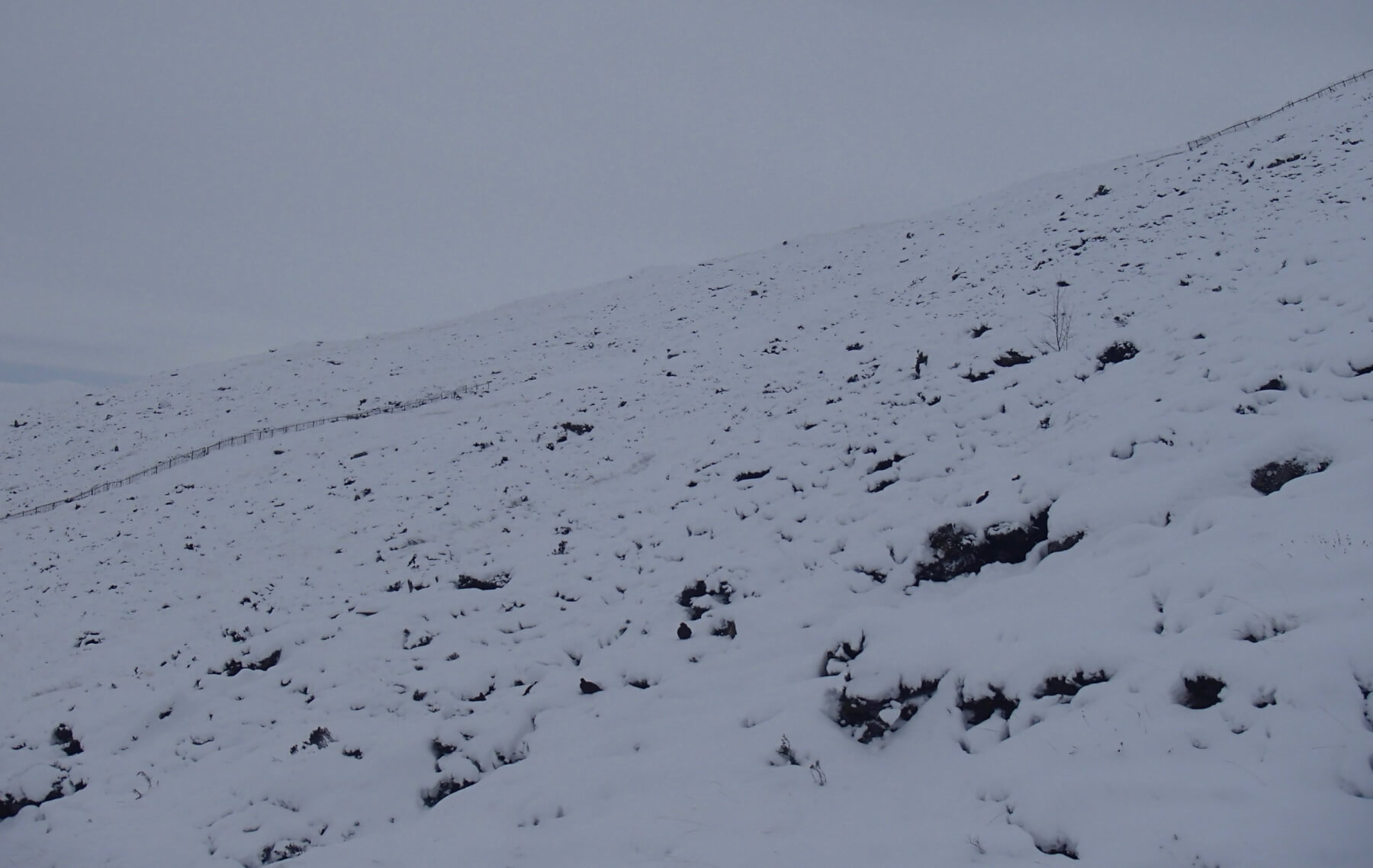
Spot the 3 Grouse in the heather….
Looking into Stob Coire nam Beith.
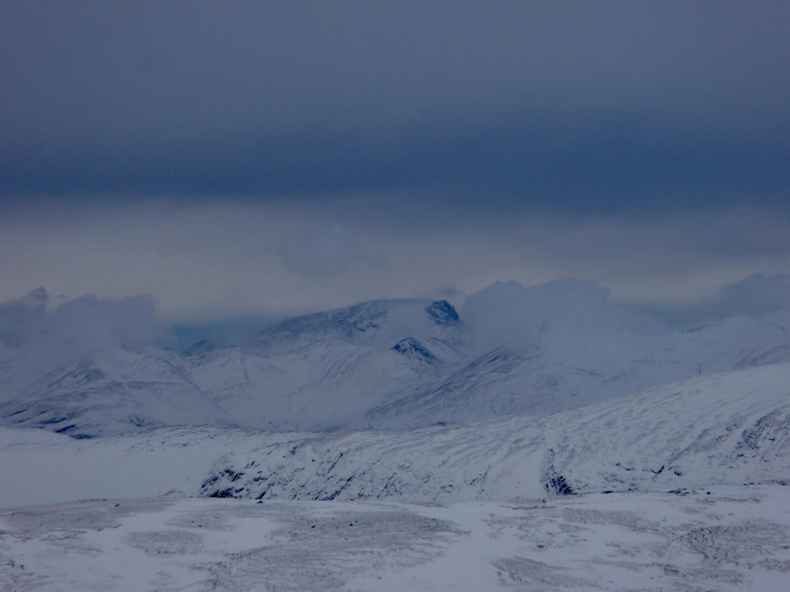
Ben Nevis emerging from the white clouds.

Gearr Aonach and Aonach Dubh with Stob Coire nan Lochan in between.
South aspect of the Aonach Eagach ridge.

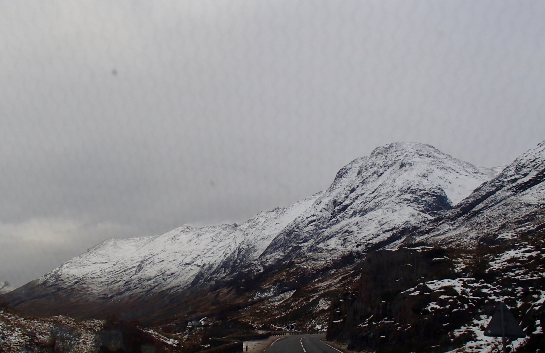
From the A82 looking at Stob Dearg and the Aonach Eagach ridge distant right. The flag showing the fresh South-Easterly wind.
Comments on this post
Got something to say? Leave a comment


