A ‘braw’ winter’s day…..
15th January 2023
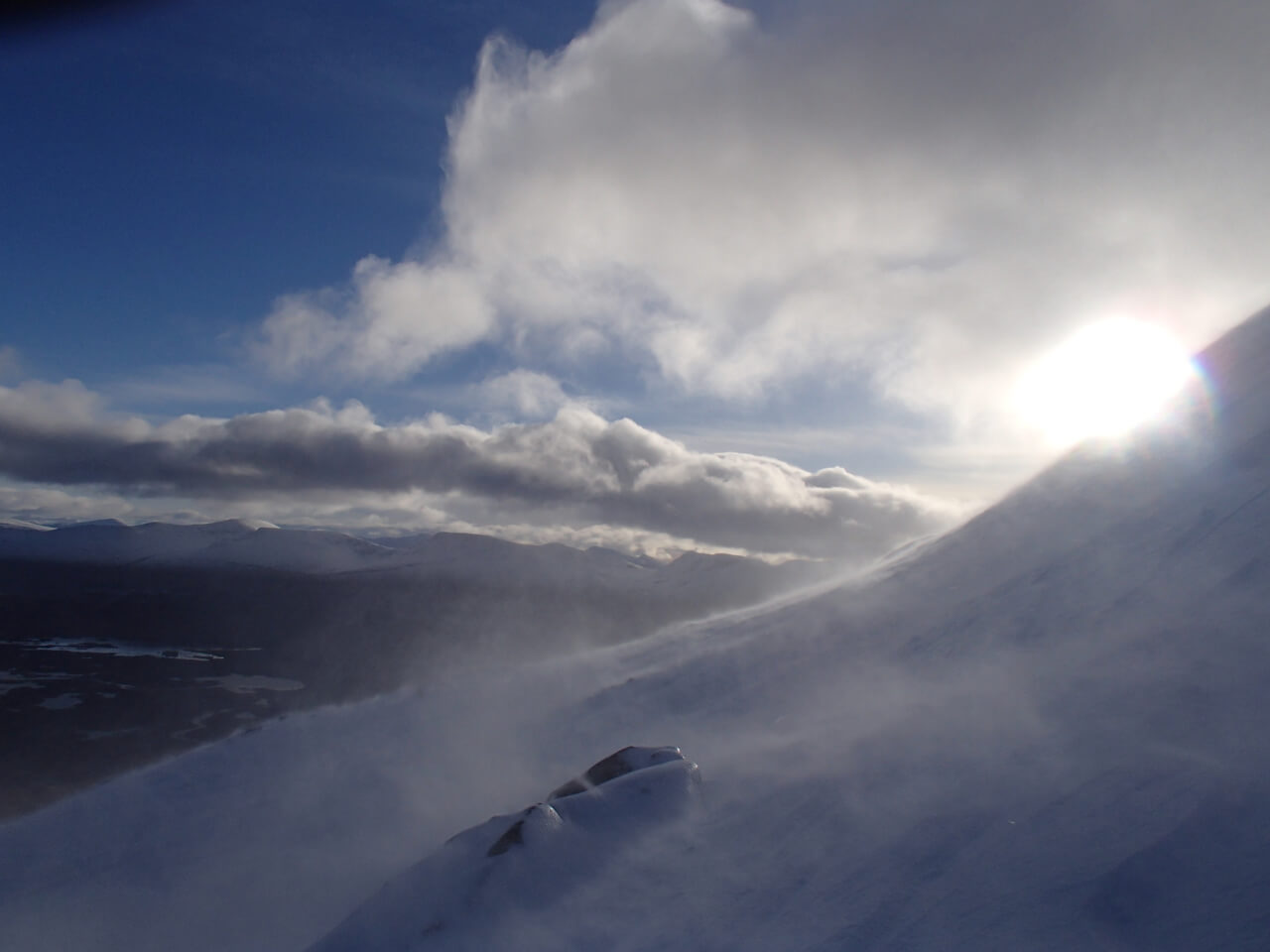
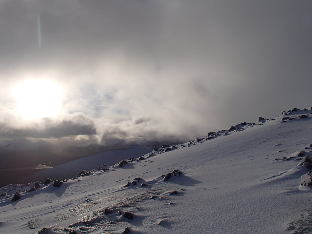
It was dry with the freezing level at around 400 metres. A fine day with some good views, the winds were fresh from a West-North-Westerly direction and it felt much cooler than of late. The snowpack is weakly bonded in wind sheltered locations with shooting cracks appearing rapidly underfoot whilst breaking a trail a sure sign of weakly bonded windslab. Unstable windslab was continuing to form as wind scoured and transported snow into lee areas forming further accumulations of windslab.
Avalanche Report for 16th January: Some consolidation of the snowpack is expected however, localised areas of poorly bonded windslab will persist. The greatest accumulations will be in steep wind sheltered locations mainly on N through E to SE aspects above 800 metres. NW aspects will also be affected due to cross loading. Sheltered gullies, scarp slopes and steep coire rims are particularly affected. Fragile cornices will also persist. Wind affected slopes will often be firm and icy. The avalanche hazard will be Considerable.
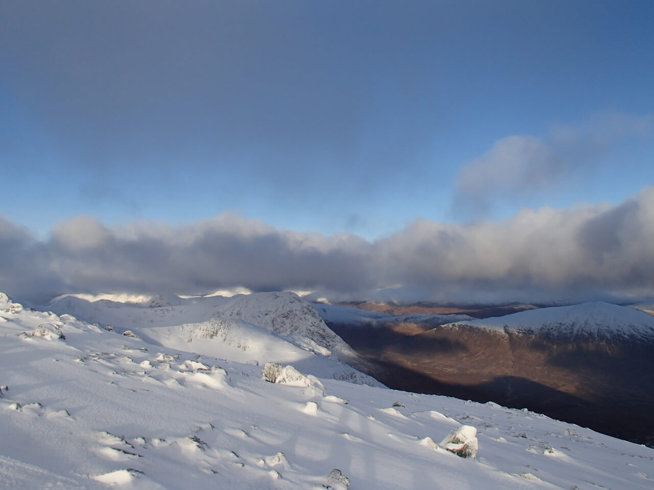
Looking across the summit slopes of Meall a’ Bhuiridh toward Stob Dearg with the Mamores in the distance.

Looking north from Meall a’ Bhuirdh with the sun lit summit of Creag Dhubh and the snowline clearly seen on Beinn a’ Chrolaiste and Meall Bhaalach.
Comments on this post
Got something to say? Leave a comment
