Re-Frozen snowpack.
30th January 2023
A return to colder conditions overnight re-froze the snowpack rendering it firm and icy in most areas. Isolated areas of moderately bonded windslab formed in wind sheltered areas mainly with a North East to South-Easterly aspect at higher levels, at the time of observations these areas were mainly avoidable.
Overnight will see the freezing level rise briefly above the summits then becoming colder by morning, strong to gale force Westerly winds with new snow are expected. Unstable windslab and fragile cornices will form in wind sheltered locations. The older snowpack will be firm and icy with serious consequences int he event of an uncontrolled slip or fall, axe and crampons required for snow travel.
Light dusting of new snow on The Aonach Eagach ridge

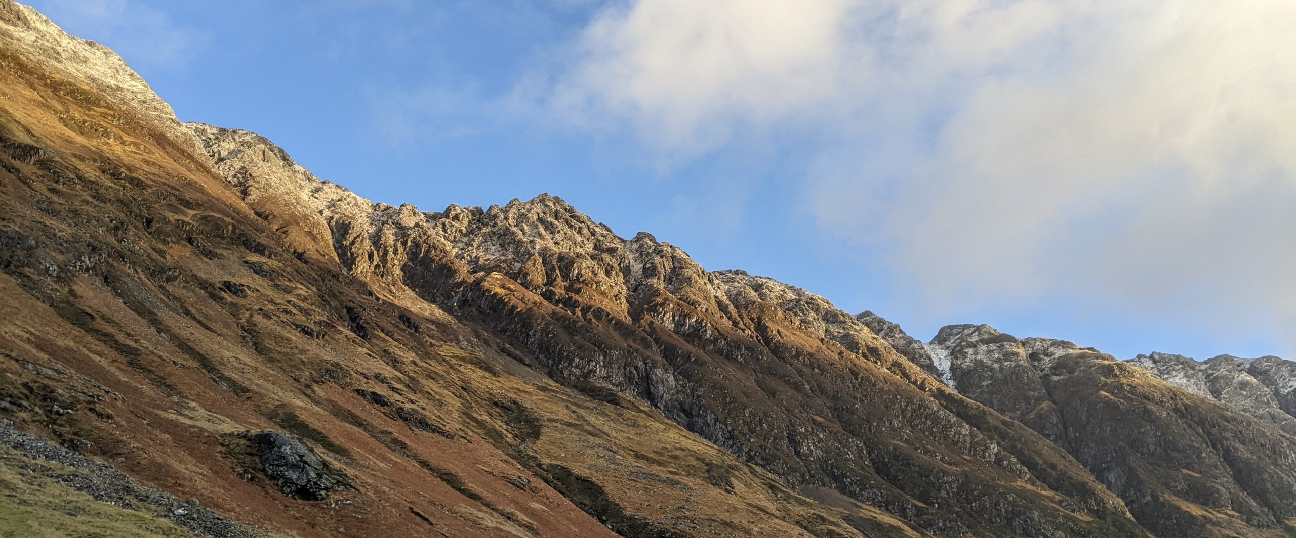
Stob Coire nam Beith

Criese left rear and Stob a Ghlais Choire on the right

North-Easterly aspects of Meall a Bhuiridh

Looking towards Bridge of Orchy hills from the East ridge of Meall a Bhuiridh.
Comments on this post
Got something to say? Leave a comment


