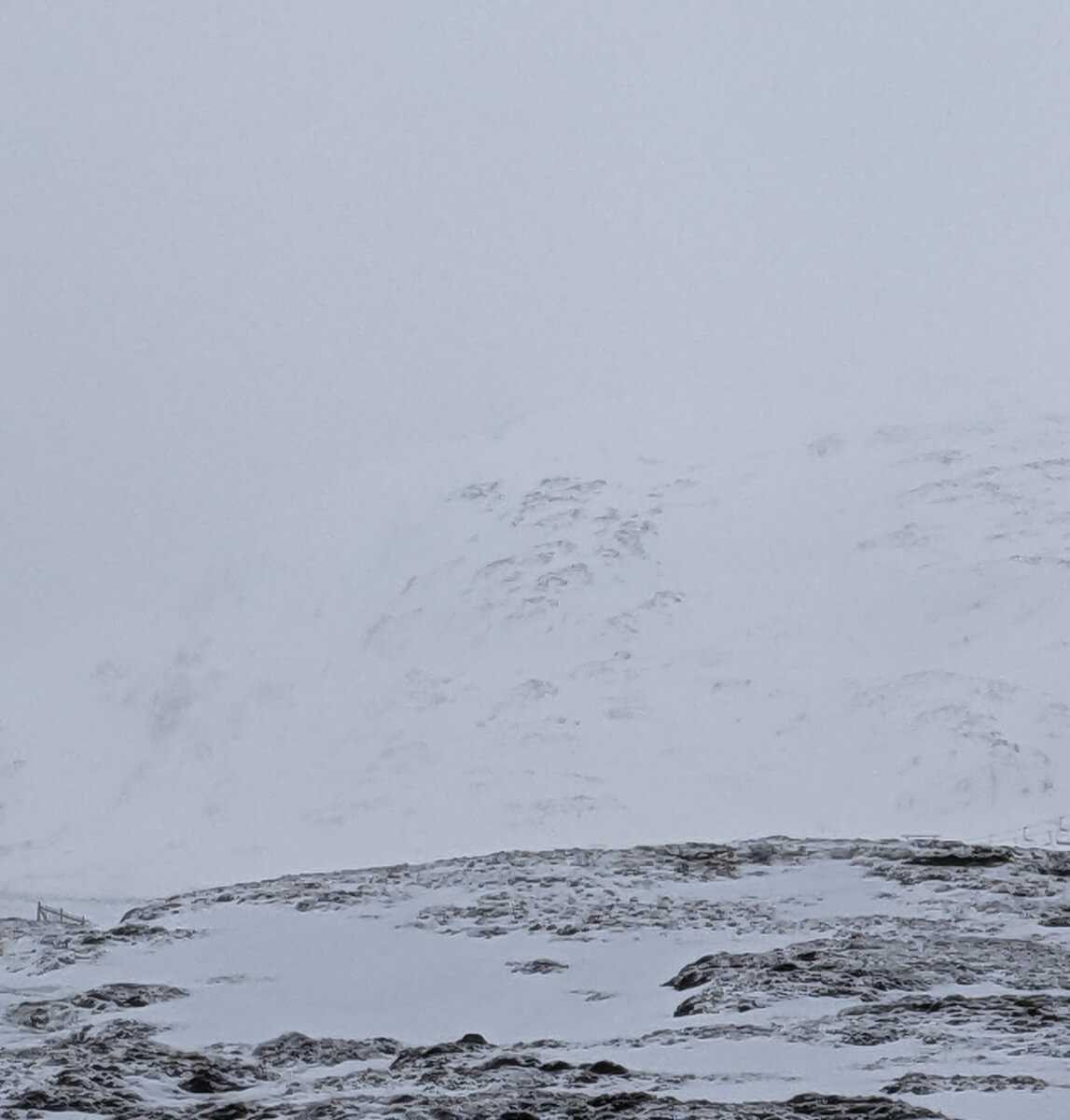
Strong winds and new snow at higher levels.
11th January 2023
Windy conditions have affected the area with new snow mainly above 600 metres, drifting at higher levels is forming weakly bonded windslab and cornices in sheltered areas such as gullies and lee slopes. Windslab and cornices will continue to develop over night mainly on slopes above 850 metres. The old snow where exposed is becoming firm and icy with serious run out potential on steeper ground. Not the best of days for photos.
Comments on this post
Got something to say? Leave a comment


