Misty start, clearing later.
5th March 2023
A light dusting of new snow fell overnight. The old snowpack which is mainly in the higher North and East facing corries is firm and stable in most areas. Ice continues to form in watercourses.
Much colder conditions on Monday will affect the area but new snow totals for the Glencoe area look fairly insignificant. Isolated pockets of windslab will form in gully exits and scarp slopes with an East to South-East aspect, these areas should be avoidable.

North-Easterly aspect of Meall a Bhuiridh.
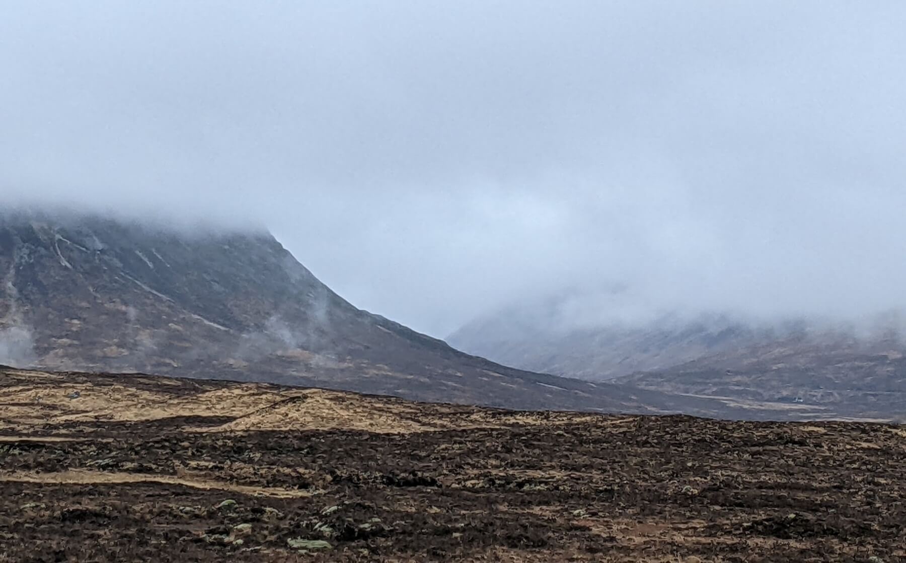
Misty start to the day, Stob Dearg on the left.

Light showers passing over Rannoch Moor.

Creise.
Comments on this post
Got something to say? Leave a comment


