Wintery for a While
28th March 2023
A wetter day with light rain falling as snow above 600 metres from dawn. Dryer during the afternoon with the freezing level eventually rising above the summits. Winds were moderate to fresh from the South.
Fresh accumulations of snow but not generally significant amounts except in some isolated wind sheltered locations on North-West to North-East aspects above 1000 metres, mainly steep ground around gully tops and coire rims. Starting to thaw at all elevations with the rising freezing level. The old snowpack has generally remained firm and is stable.
Continuing mild for the next 48hrs at least.
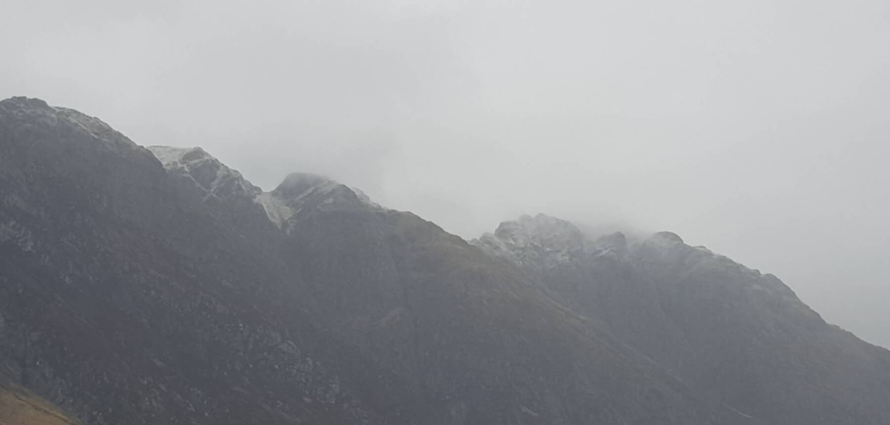
The Aonach Eagach ridge back with a dusting of snow this morning.

The early dusting of snow thawing with the rising freezing level this afternoon. Looking into Coire nan Lochan.
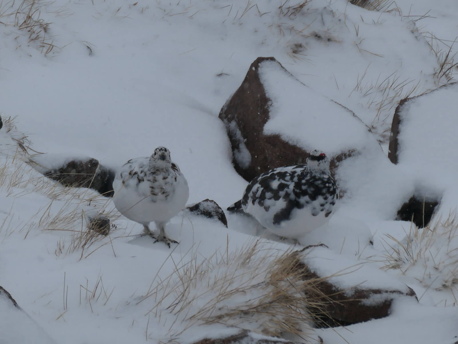
Some locals blending in well amongst the new snow and rocks, around 850 metres on a Northerly aspect.
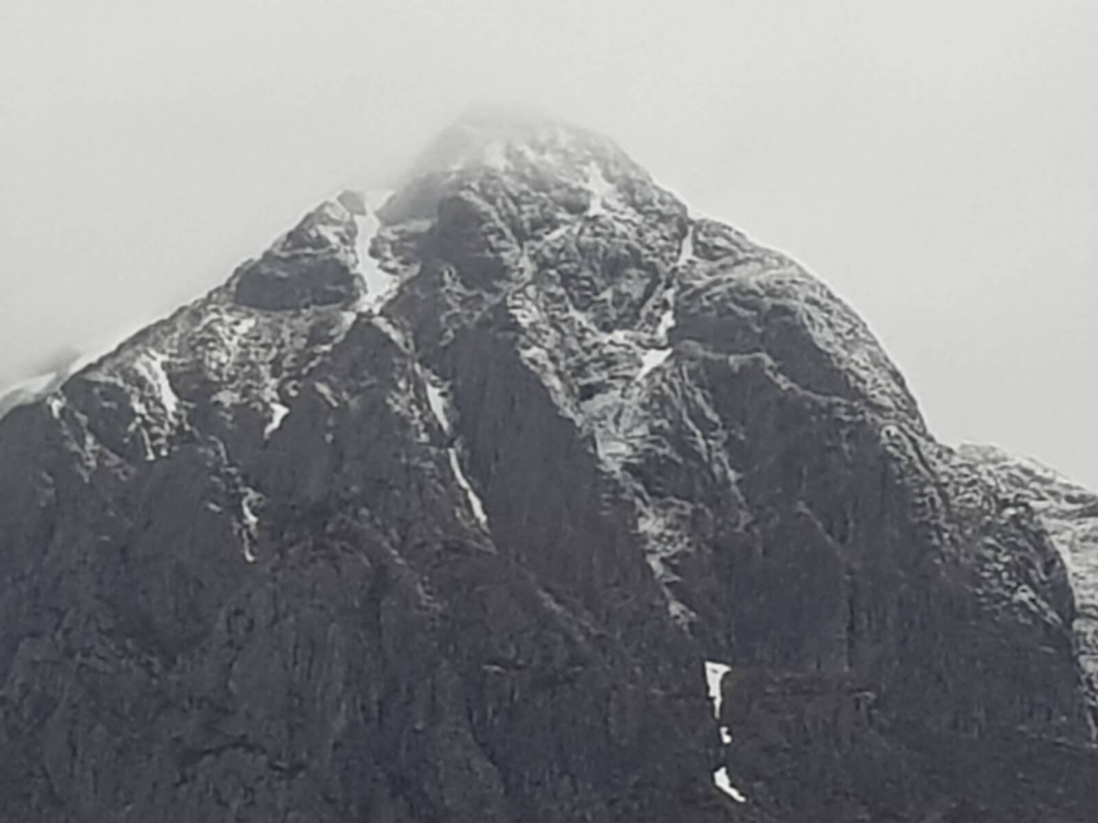
Nearly a summit view in a dryer spell late morning. Stob Dearg, Buachaille Etive Mor.
Comments on this post
Got something to say? Leave a comment


