Winter returns.
12th April 2023
Winter has returned.
New snow overnight and earlier today was accompanied by strong South to South-Westerly winds giving some deeper drifting and windslab formation mainly above 850 metres. Where windslab exists on the older snowpack particularly in summit gullies and sheltered corrie headwalls bonding is poor. Fragile cornices exist above some of these areas.
Light snow showers are expected overnight then later on Thursday. Deeper windslab will remain unstable on steep slopes and cornices will be prone to collapse. Where exposed the older snow will be firm and icy in places, don’t forget your axe and crampons.
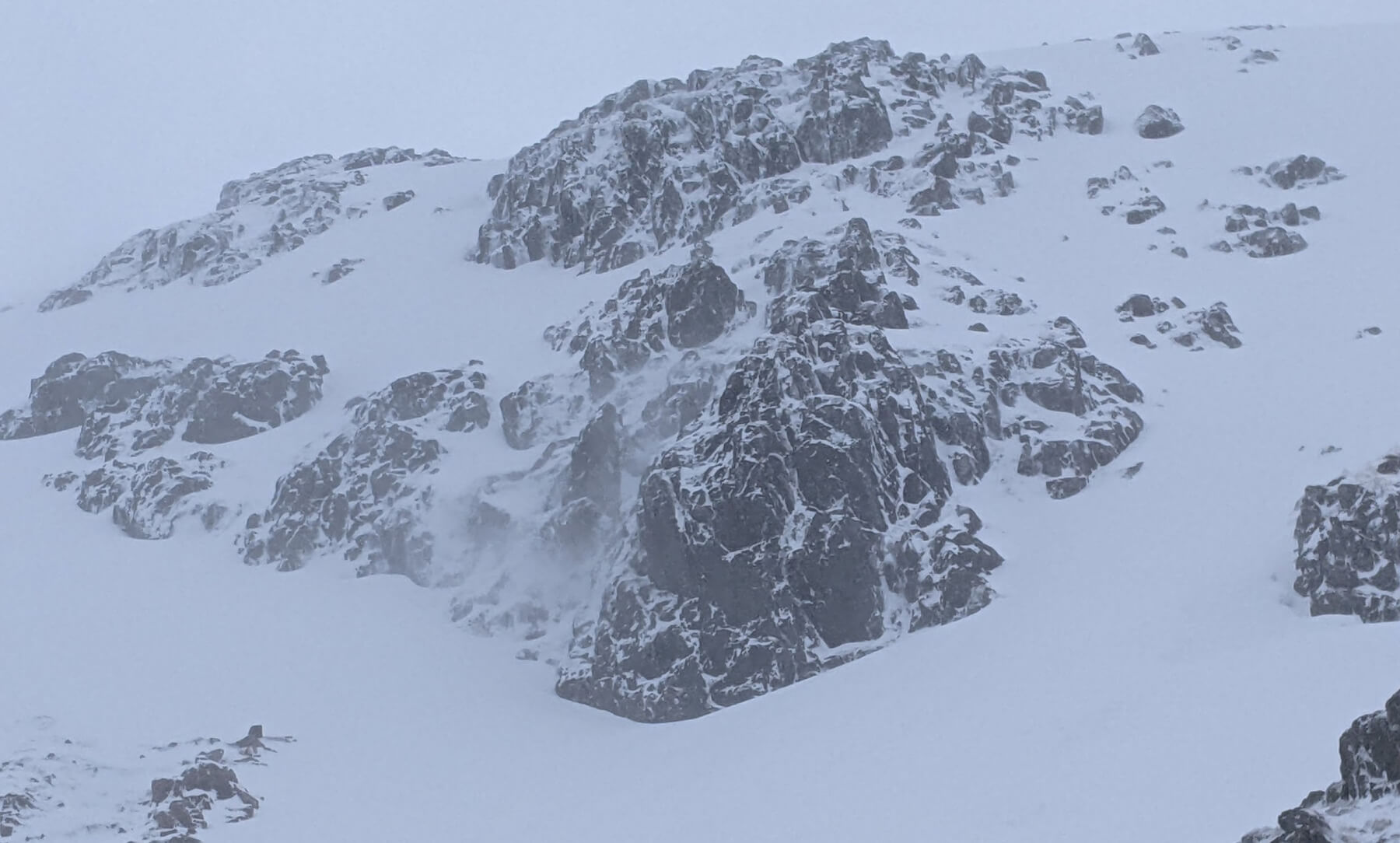
Easterly aspects of Meall a Bhuiridh.

Rannoch Moor from Meall a Bhuiridh
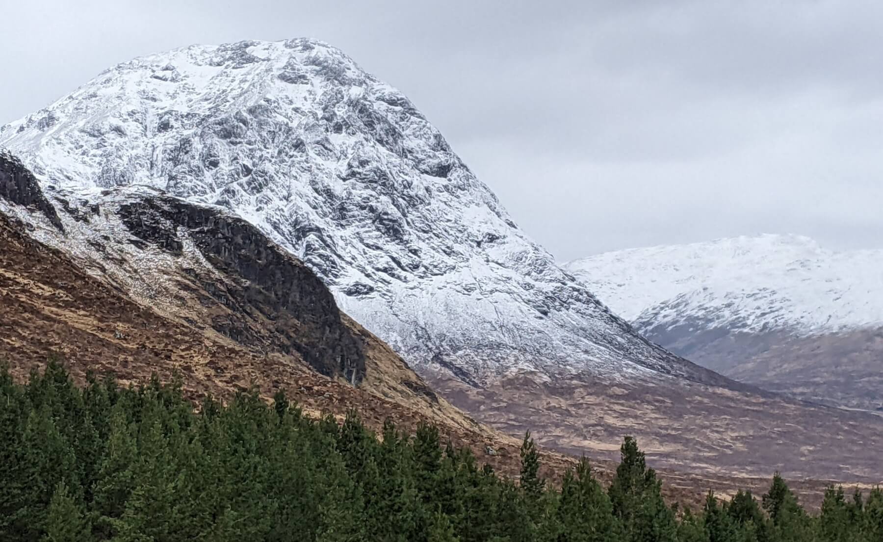
Stob Dearg, Buachaille Etive Mor.
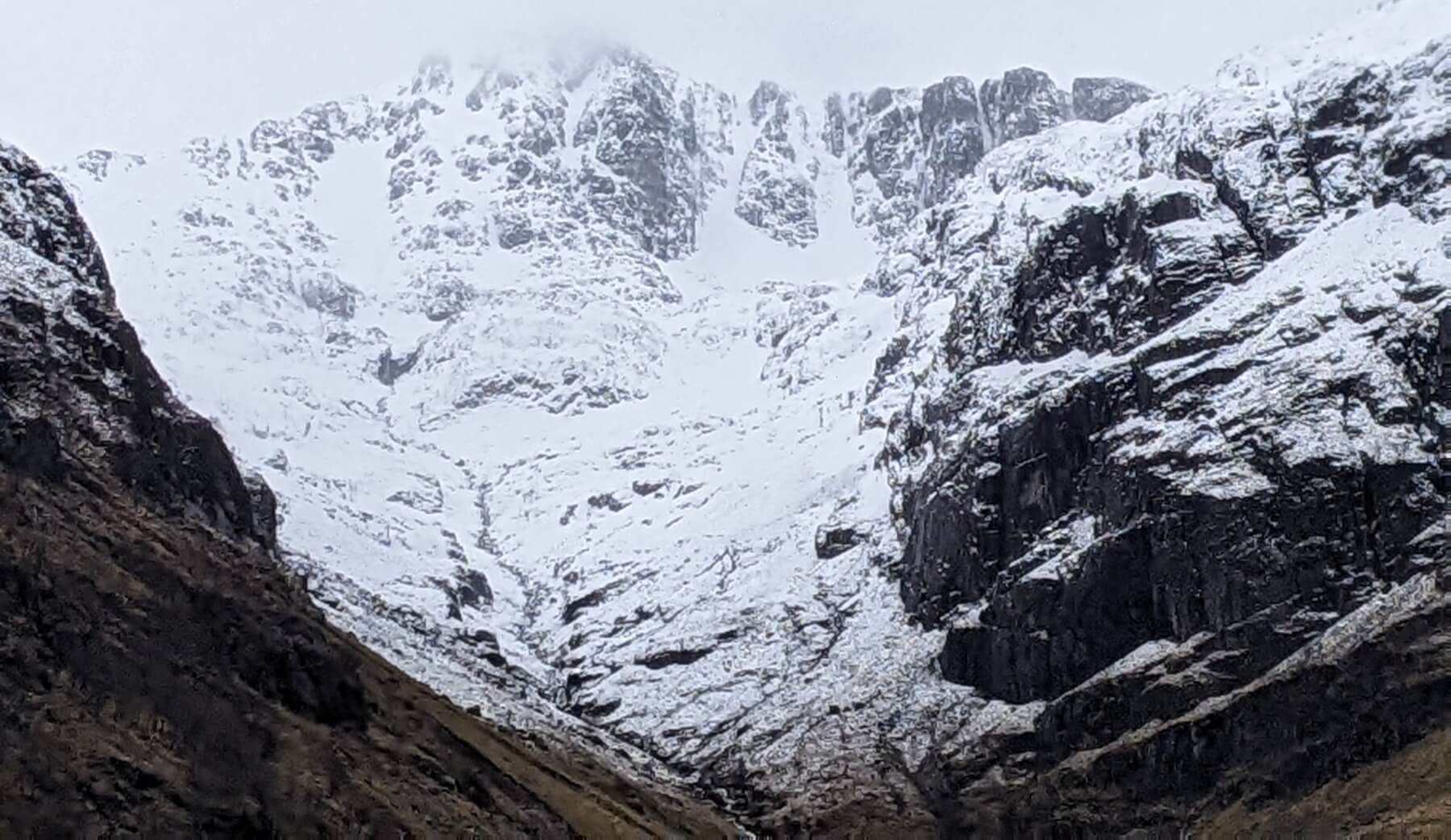
Stob Coire nan Lochan

Stob Coire na Beith.
Comments on this post
Got something to say? Leave a comment


