Mild blustery conditions……
20th December 2023
Overnight, a few light snow showers fell mainly above 800 metres these were not extensive. Early morning saw the freezing level rise above the summits with heavy rain showers these continued through the day. Valley temperatures rose to 11.5 degrees celsius with summit temperatures at around 2.7 degrees the winds were blustery from a Westerly direction.
Weather outlook for tomorrow:~
Winds will be severe gale to storm force initially from the West then veering to WNW direction from early morning onwards. Further heavy rain this evening continuing overnight. The rain clearing to occasional showers by the morning, these showers turning to light snow mainly above 900m and down to 500m by early evening. New snow accumulations are not expected to be deep or extensive and will not be significant enough for an avalanche hazard.
New accumulations of light snow deposits are not expected to be significant and should not present an avalanche hazard. Avalanche reports will not be issued for this area today. Greatest accumulations will be on North-East to South-East aspects above 800 metres. Storm force winds and white out conditions can be expected tomorrow.
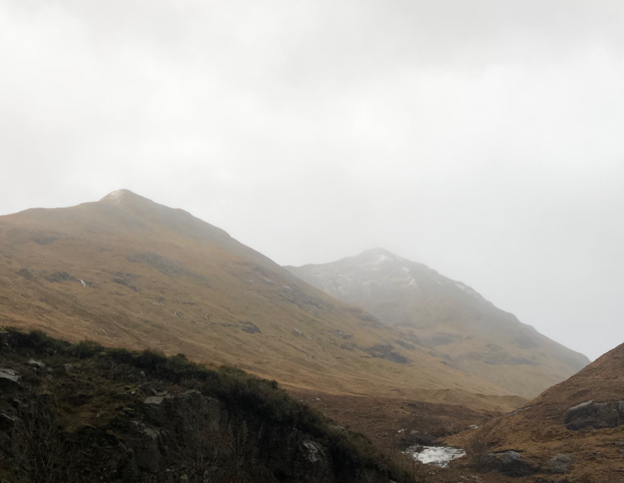
Stob coire Raineach 924 metres and Stob Dubh 958 metres both holding very little after a thaw and heavy rain.
Stob Dearg and Coire na Tulaich again the snow has melted.
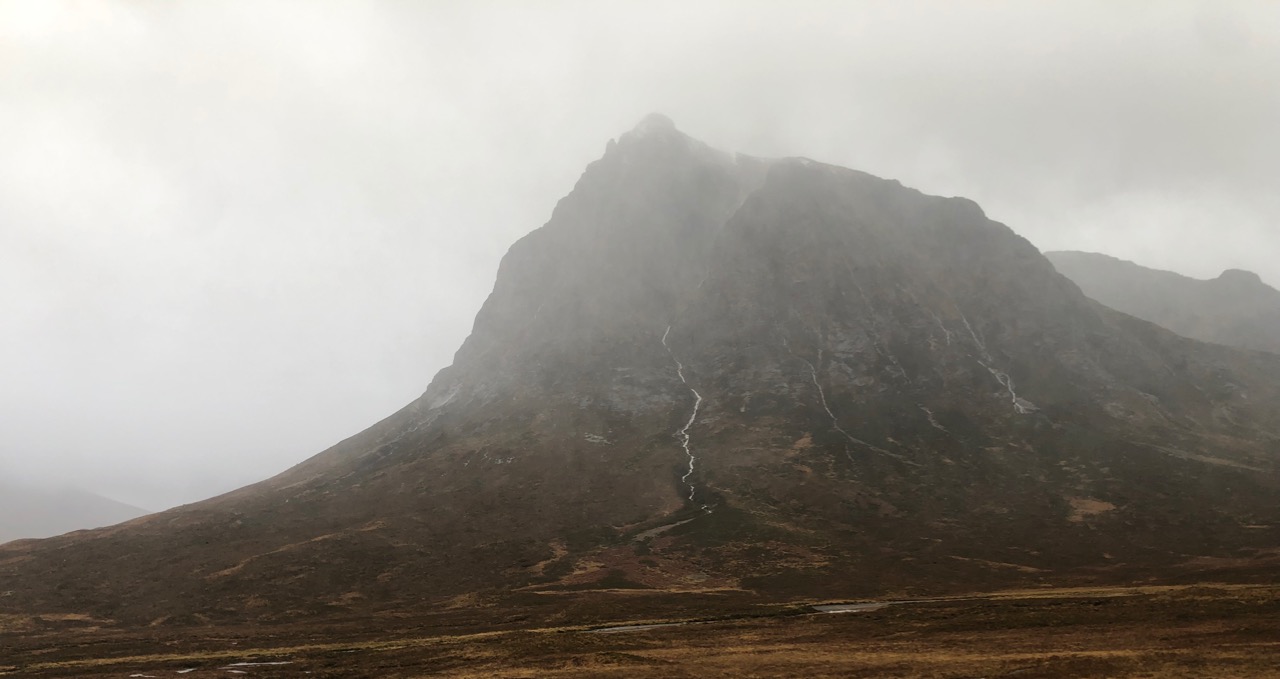
Rivulets of rain and snow melt running down the north side of Stob Dearg.
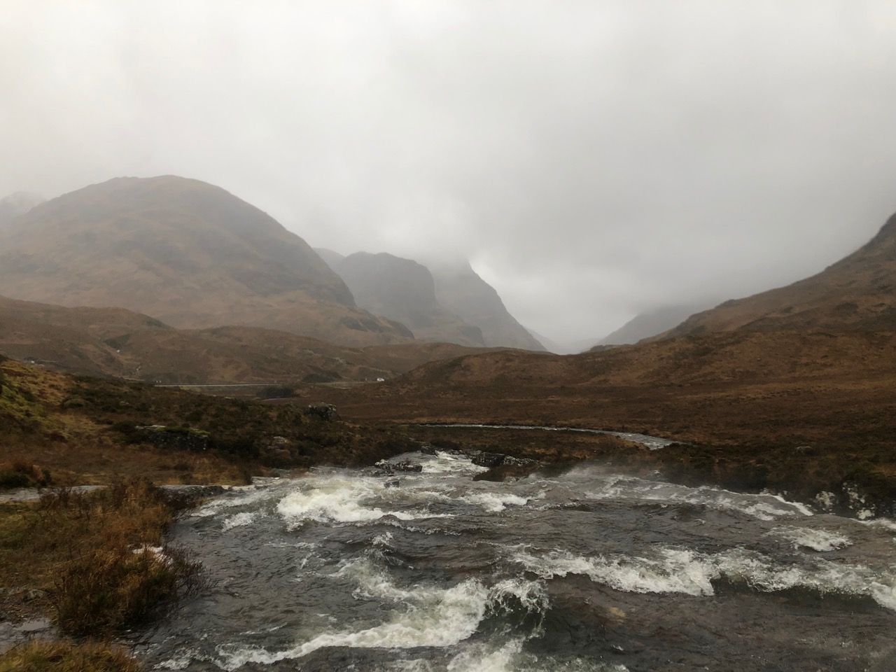
A dank Glen Coe with swollen burns, streams and water courses.
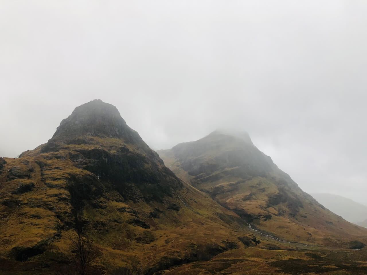
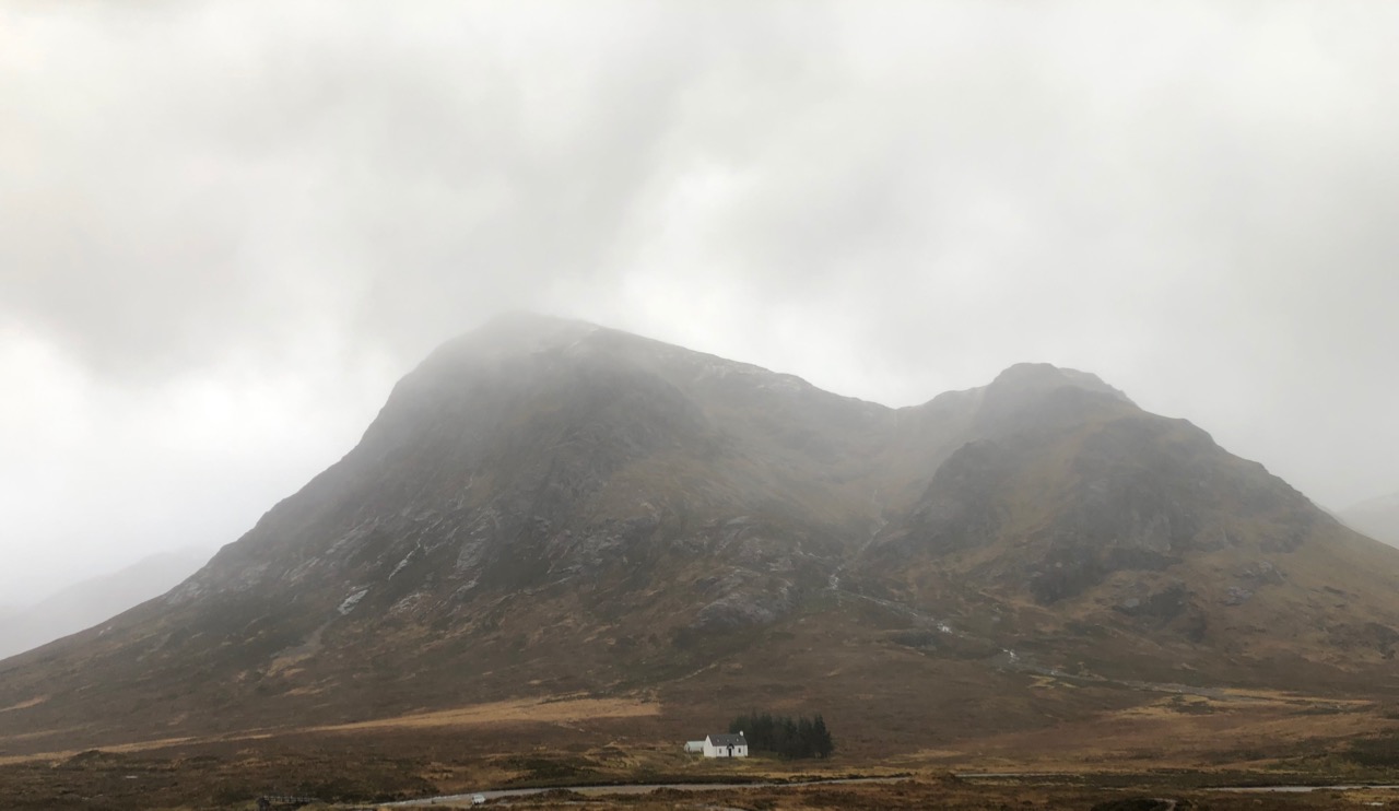
Gearr Aonach and aonach Dubh.
Comments on this post
Got something to say? Leave a comment