Wintry snow showers….
19th December 2023
Overnight, the freezing level lowered to around 800 metres and light showery precipitation fell as snow mainly above 750 metres. These new snow accumulations are currently not deep or extensive. The showery weather continued through the day accompanied by fresh to strong westerly winds. The freezing level had started to rise by early afternoon.
Weather outlook for tonight and tomorrow:~
Blustery showers, continuing tonight these will be briefly heavy at times but passing quickly, falling as snow above about 700m. Wednesday morning snow showers turning to more persistent rain as a warm front moves East and the freezing level rises above the summits. Rain will be heavy at times accompanied by Westerly gales at lower levels and severe gales on the tops.
New accumulations of light snow deposits are not expected to be significant and should not present an avalanche hazard. Greatest accumulations will be on North-East to South-East aspects above 800 metres. Storm force winds and white conditions can be expected. The new recent snow cover is expected to thaw and diminish.

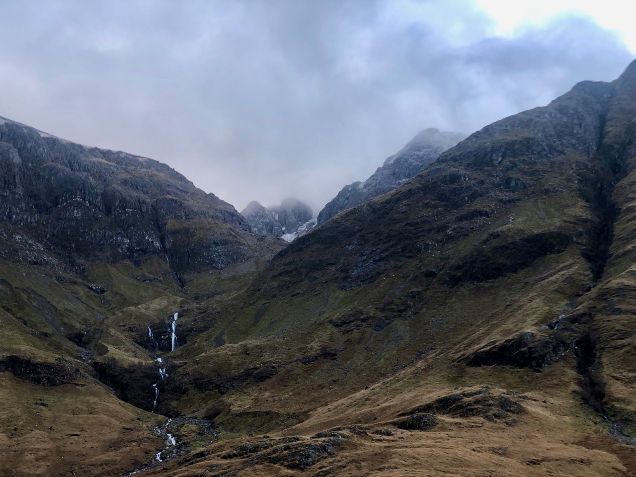
Looking up into Stob Coire nam Beith with the summit cliffs of Bidean nam Bian seen with a dusting of new snow.

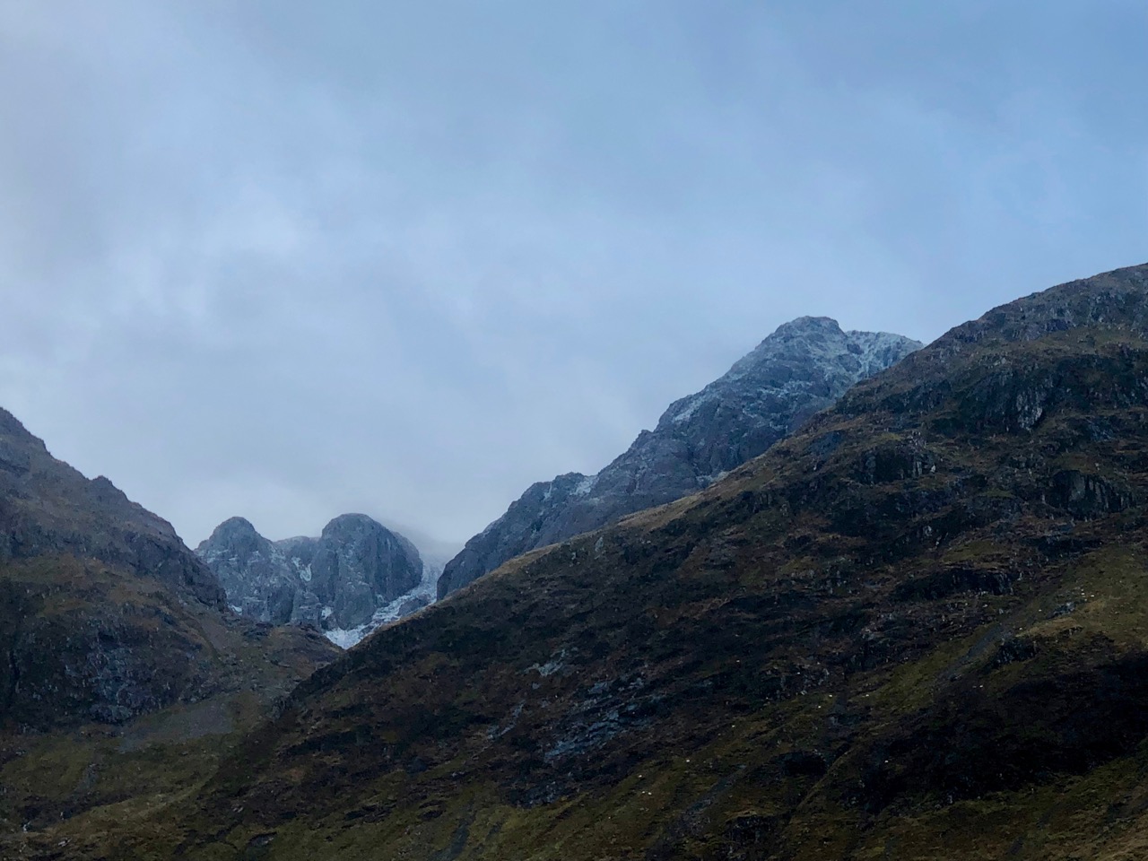
A closer shot of the above photo, Diamond buttress on the left Church buttress alongside it with the summit of Stob Coire nam Beith on the right.

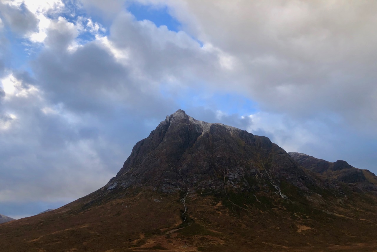
A light dusting of new snow on the summits of Stob Coire Sgreamhach (left side) and Stob Coire nan Lochan (right).

Meall a’ Bhuiridh on the left seems to have catched slightly more snow, this is often the case it being more inland and further East than some of the other Glen Coe mountains. Sron na Creise on the right.
Comments on this post
Got something to say? Leave a comment


