Stormy with blizzards at high elevations and avalanche activity…
20th January 2024
Last night Frequent snow showers these were drifting snow on very strong winds South-Westerly forming deep accumulations to build in wind sheltered locations. Today the freezing level has slowly risen above the highest summits in Glen Coe with further scattered showers which fell as snow mainly above 900 metres, the South-Westerly winds eased slightly. Several avalanches were noted today on North-West and North-East aspects.
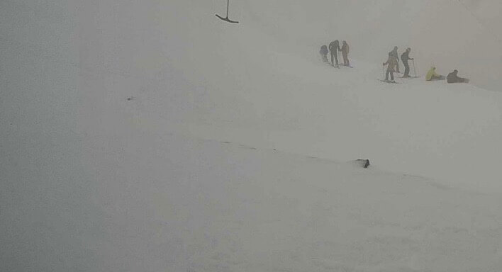
Avalanche on Meall a’ Bhuiridh at around 920 metres on North-Easterly aspect. Three persons involved, crown wall is metre high.
Visibility was generally poor today this photo at around 1000 metres, however there were some blighter intervals later.

Brighter conditions on Meall a’ Bhuiridh and Creise on the way back to base after the descent.

West face of Aonach Dubh this morning note the wind scoured ridge on the right on An-t-Sron.

Stob Dearg and Coire na Tulaich snow level starting at around 450 metres.

The 3 Sister’s with cliffs of Stob Coire nan Lochan seen centre skyline.
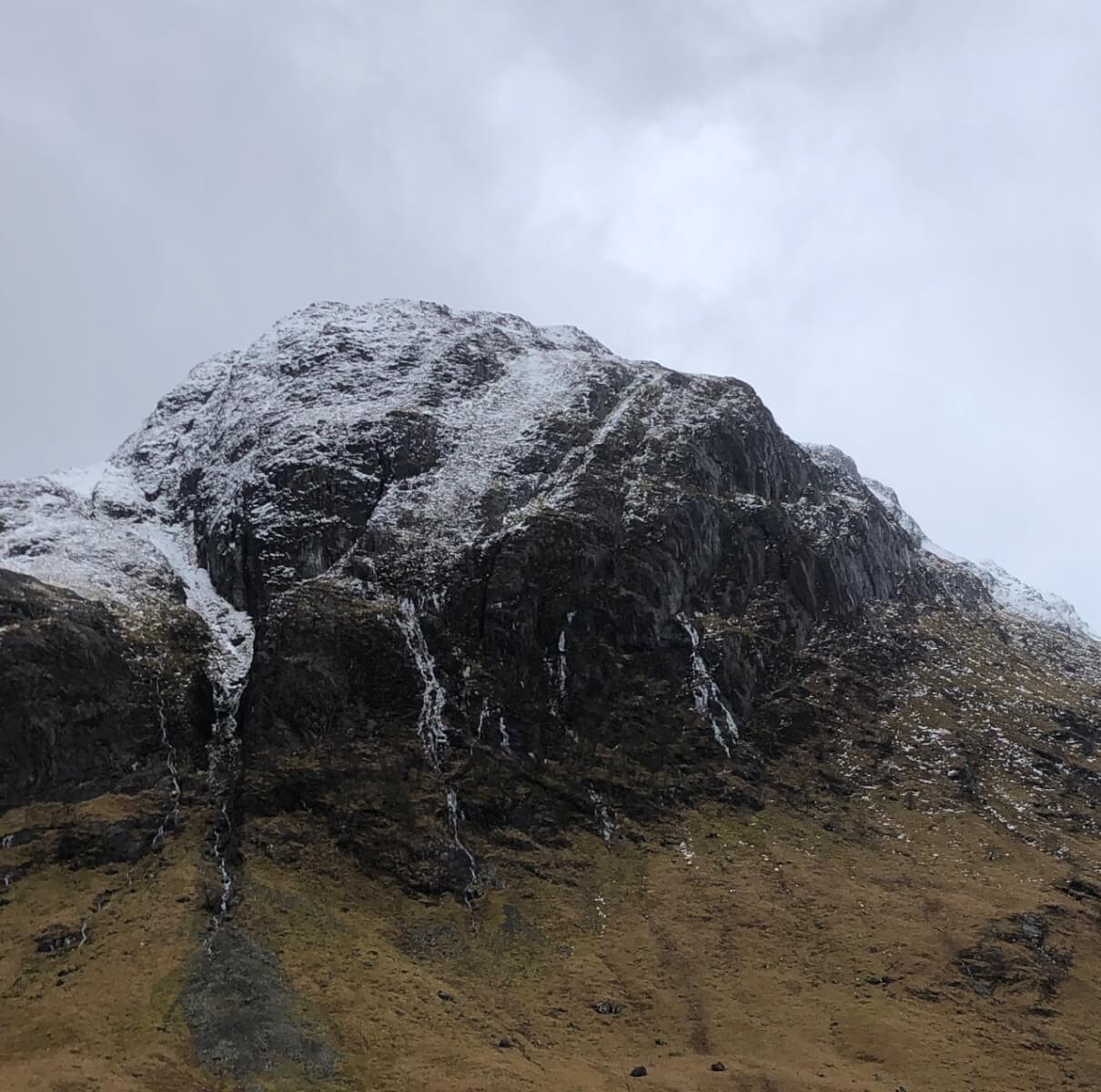
A caution ~ Many ribbons of water ice still remain on rocks, cliffs and paths.

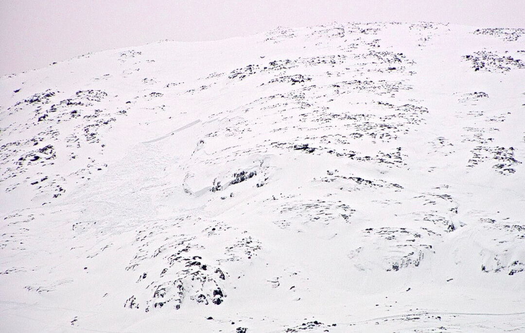
Looking at the head of Coire Gabhail (Lost Valley) some avalanche activity note in the coire today.

Stob Coire nan Lochan.
Comments on this post
Got something to say? Leave a comment