Wetter than an otters pocket.
23rd January 2024
I just managed to get down off the hill today as the heavens opened at lunchtime. A very wet afternoon to be on the mountains today. A good day to test the waterproofs.
I had a walk up into Coire na Tulaich this morning to have a look at the snow that had come in on strong winds yesterday. There was a large amount of graupel evident within this recent snowpack, which is not unexpected given the stormy nature of the past day or so.
Generally the snow cover is hanging in, and it will be interesting to see how it fares as we go through yet more temperature cycles over the next 48 hours, with accompanying rain. But at least it looks cooler on the summits tomorrow.
Generally the avalanche hazard is decreasing at the moment, compared to the previous few days. Tomorrow the main issue will be developing windslab on strong Westerly winds, higher on the mountain. There is a slight uncertainty regards the amount of snow that will come through. There could also be some lingering wet instabilities within the existing snowpack. As always, please read the main report for details.
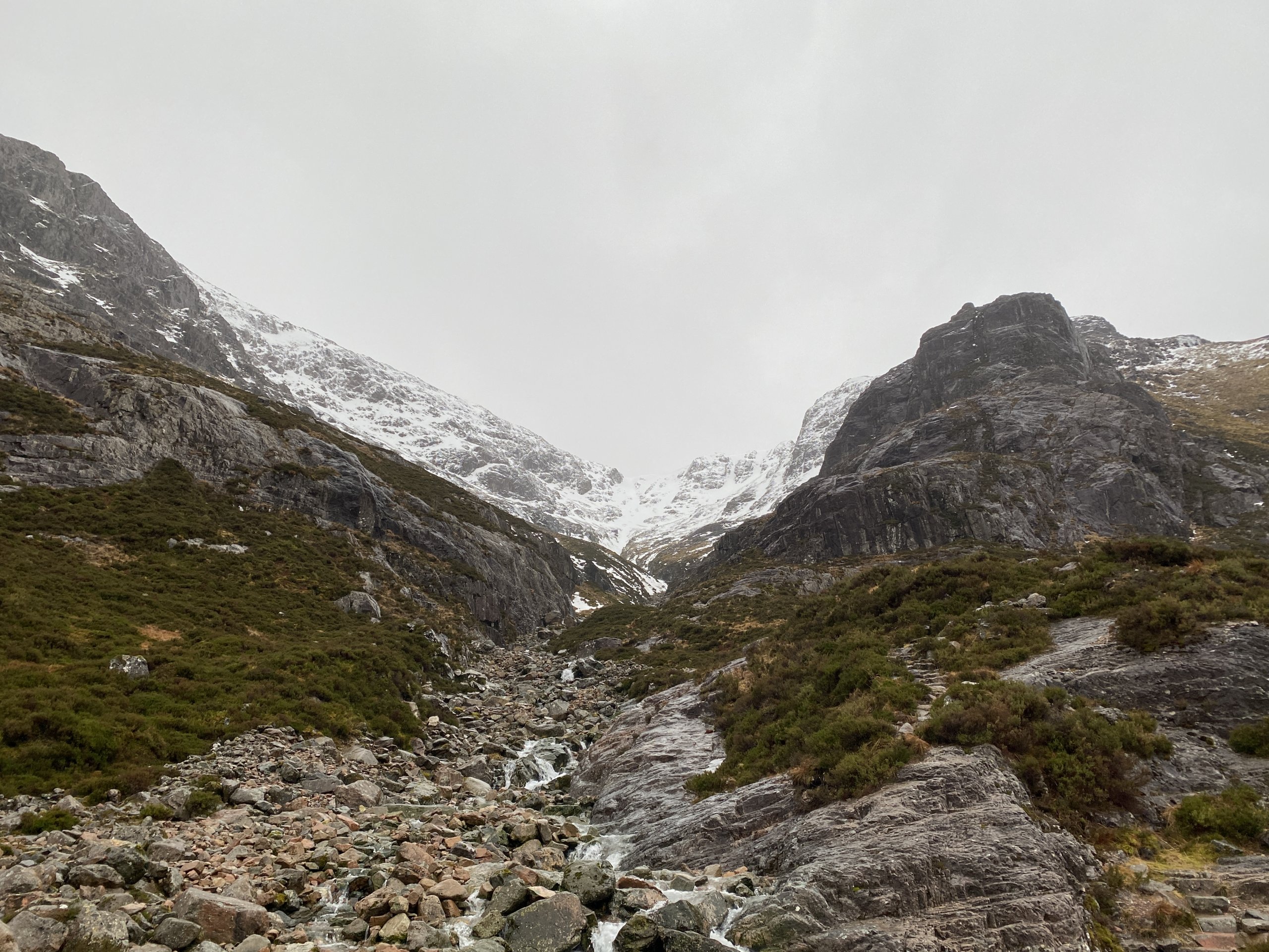
Looking up Coire na Tulaich, as the rain was coming in at lunchtime.
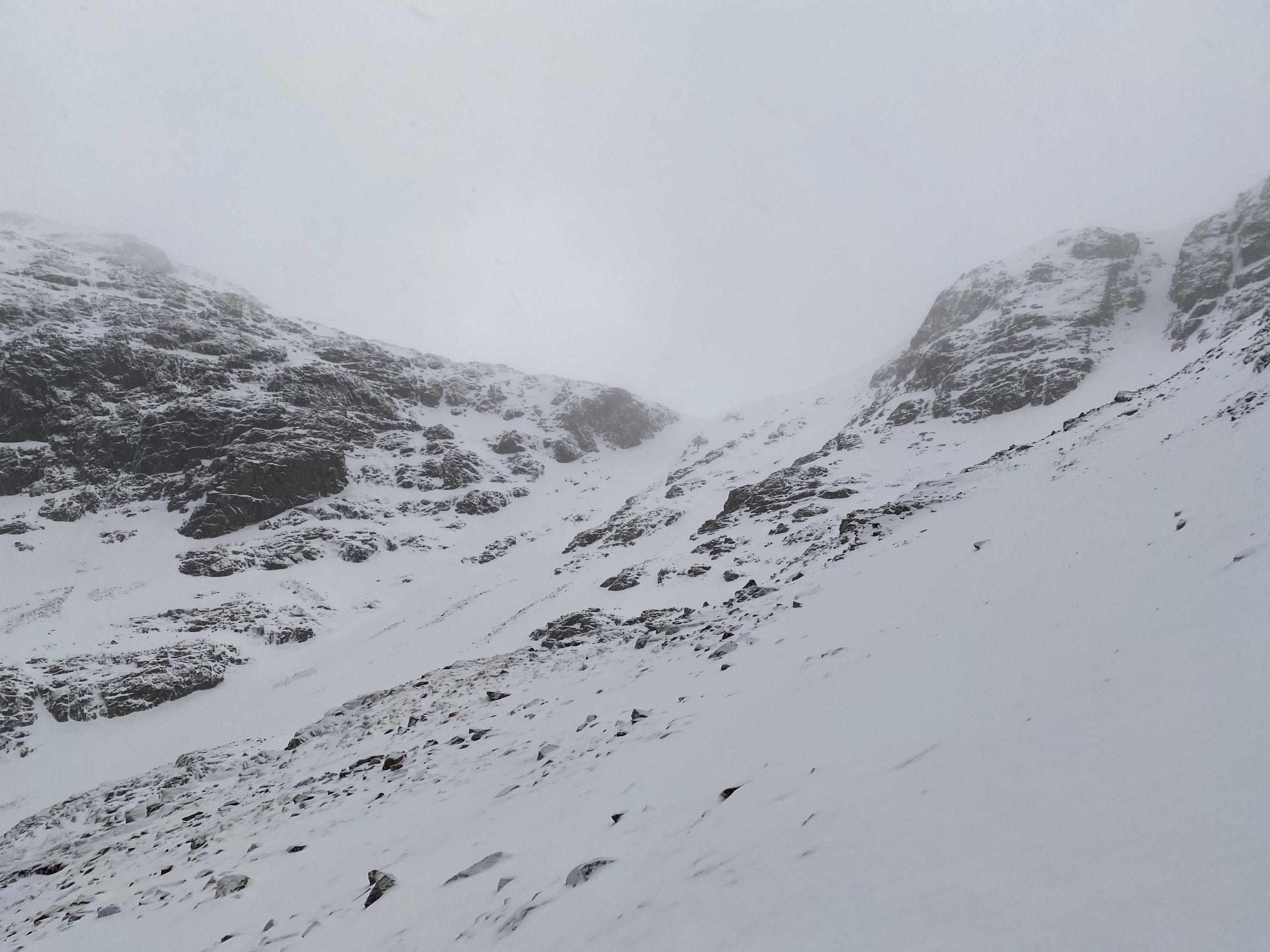
Looking to the bealach at the head of Coire na Tulaich
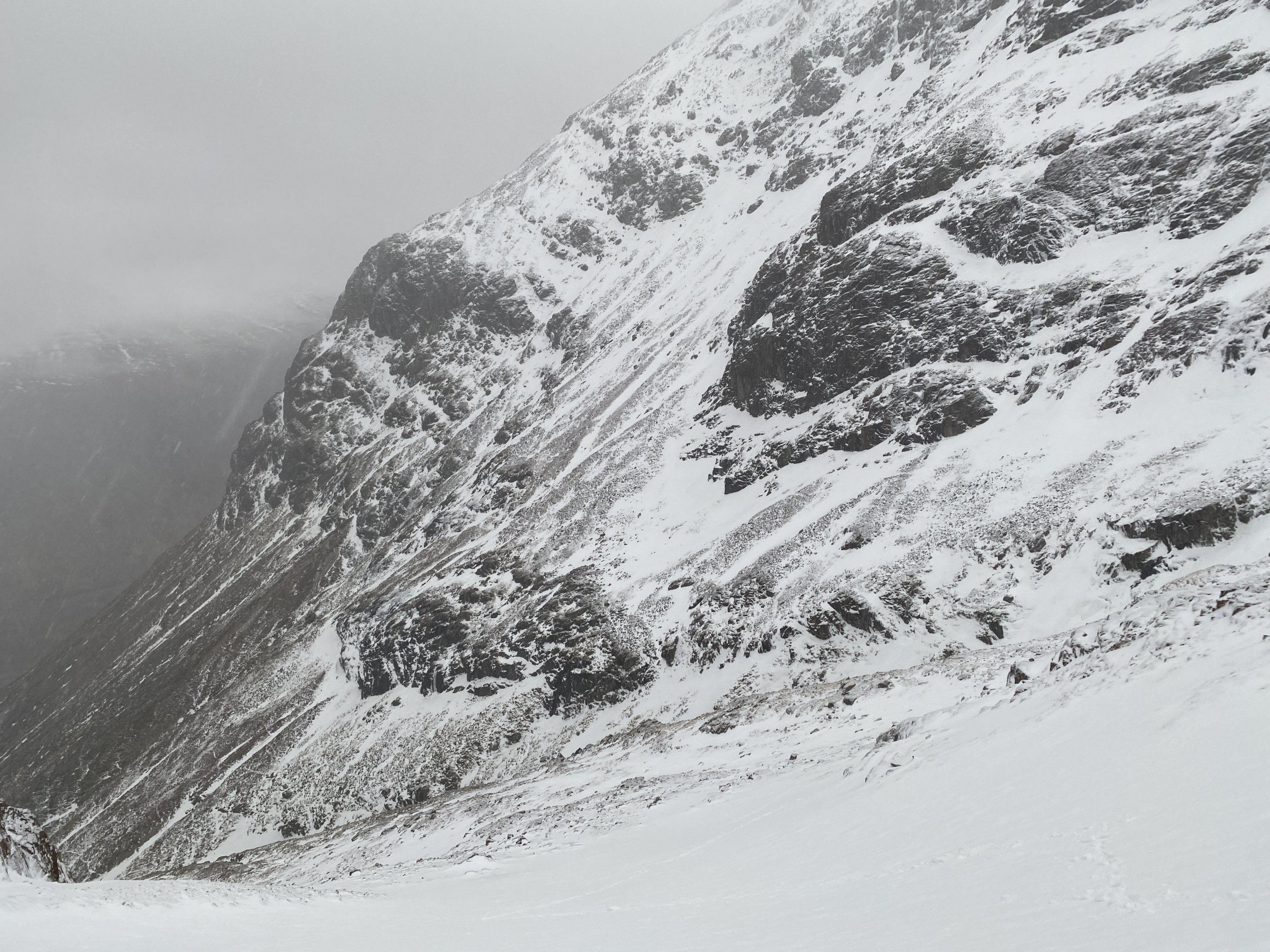
Looking across to the more scoured Westerly aspects of Coire na Tulaich
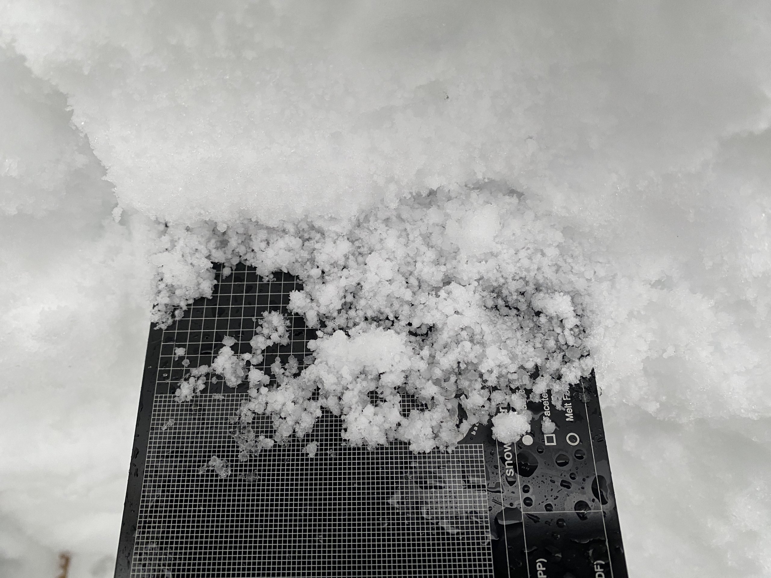
Graupel, from Storm Isha, lingering within the snowpack today.
Comments on this post
Got something to say? Leave a comment


