A Resemblance of Winter
22nd February 2024
Following the significant thaw of the last period, today at last saw a return to something resembling winter.

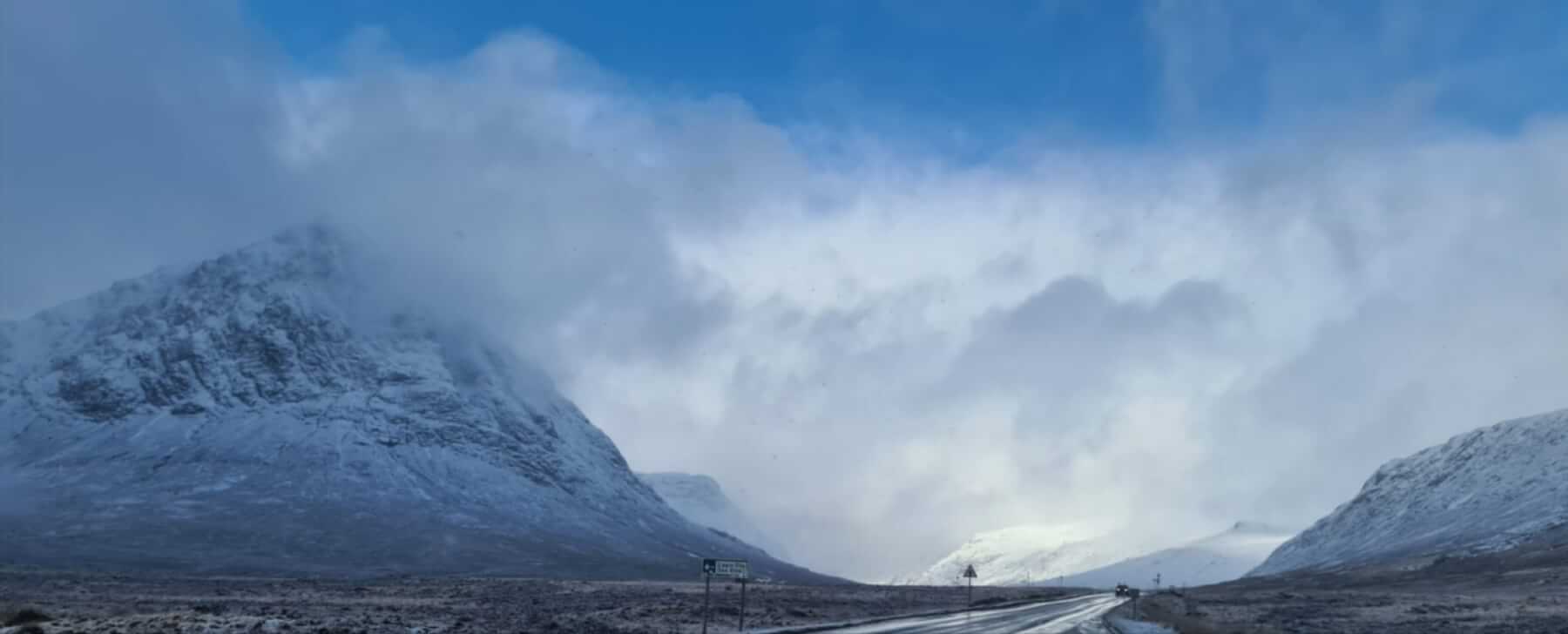
A covering of new snow above 400m, Buchaille Etive Mor looking wintery again with indications of snow blowing around the higher edges and gullies.
Whilst much of the snowfall has not been significant, landing on bare rock, moderate to strong South-Westerly winds overnight and through today, along with further frequent snow showers, have deposited windslab into sheltered locations. Areas of old existing snow exposed to the wind have refrozen and are firm and icy.
Further unstable windslab will continue to form overnight and through tomorrow with ongoing snow showers and South-Westerly winds. Accumulations will be deepest around steep coire head walls, gullies and crag aprons. See the full report for details.

The cosmetic snow fall can be identified over much of the Stob Coire nan Lochan terrain. Accumulations are limited to corrie rims and in gullies.

Moderate to fresh South-Westerly winds efficiently redistributing snow into sheltered locations.

Areas exposed to the wind being scoured. Near Meall a Bhuiridh summit.

Sheltered locations on North to East aspects where windslab has formed.
An afternoon break between showers, looking west down the ‘Glen’
Comments on this post
Got something to say? Leave a comment


