More Wintery
10th February 2024
Today felt more wintery with light snow fall overnight and during the morning depositing a general covering across the mountains above 500 metres. At higher elevations and around the summits a variable 5 to 20cm was found with some deeper drifts. Isolated unstable windslab was present on all Westerly aspects, though mostly this was lying on bare ground. North and North-East aspects also had isolated accumulations of windslab, in places on top of the old frozen snowpack. Drying out during the afternoon visibility improved with some brighter spells, the moderate Easterly winds easing and the freezing level rising to around 800 metres.
Expected to be drier overnight and during tomorrow morning with some consolidation as the freezing level rises to around 1000 metres. Further snow showers during the afternoon with an increasingly fresh to strong South-Westerly wind will form further windslab on especially North and North-East aspects above 900 metres.
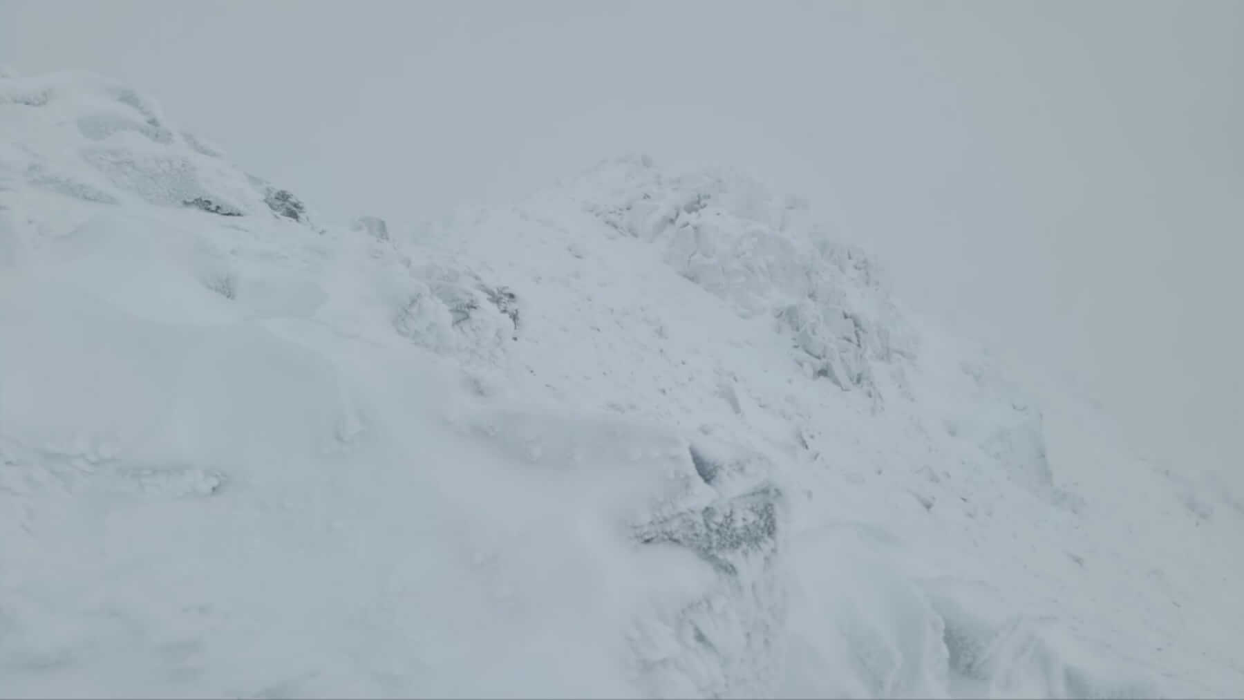
Typical covering at higher elevations and around summits, Meall a Bhuiridh West aspect, fresh deposits on mainly bare ground
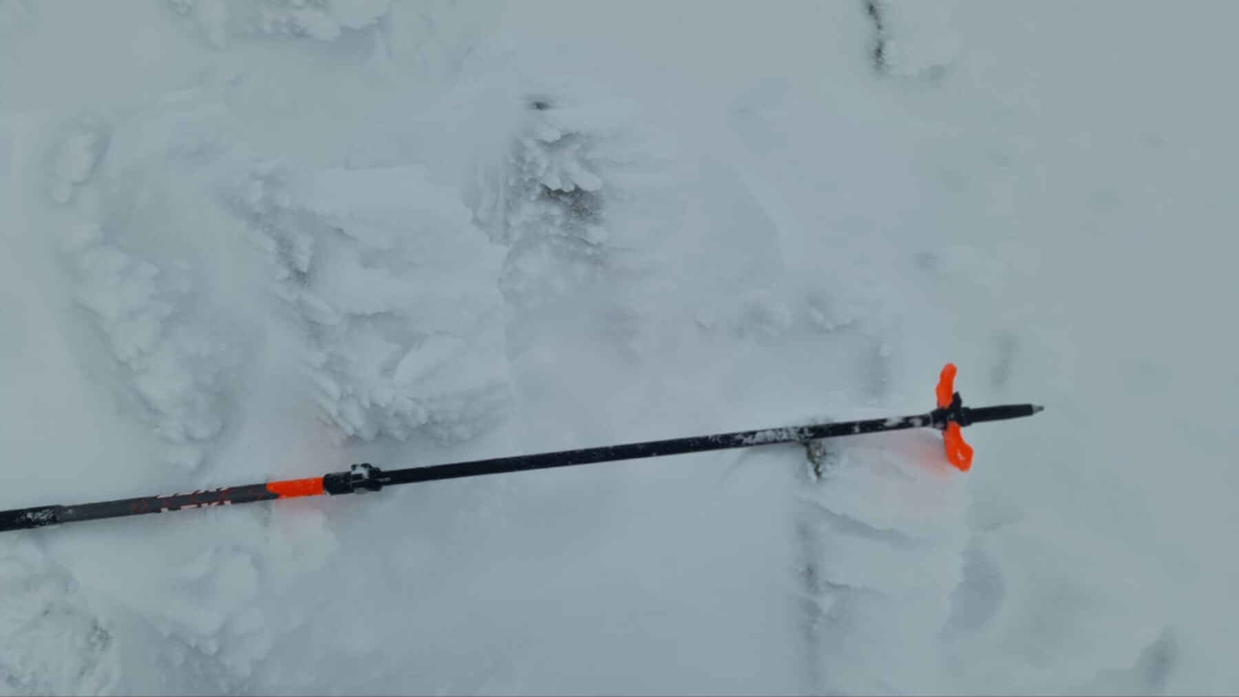
Rime forming on rocks a clue to the prevailing wind direction, though in variable conditions, also forming on other aspects
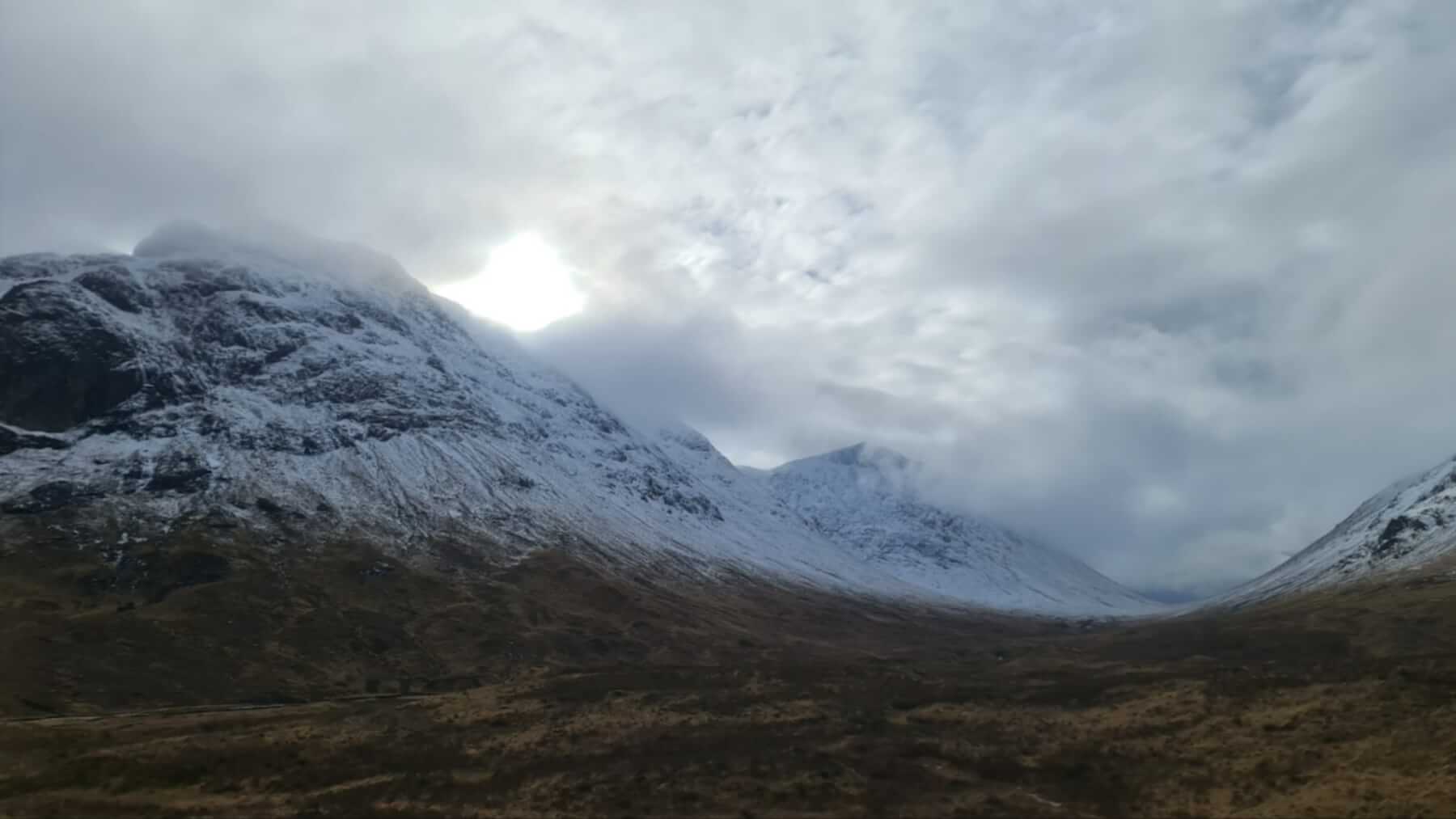
Dryer and brighter this afternoon, looking along the summits of Buchaille Etive Mor
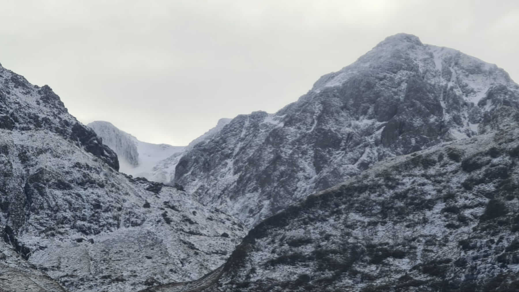
Views into Coire nam Beith
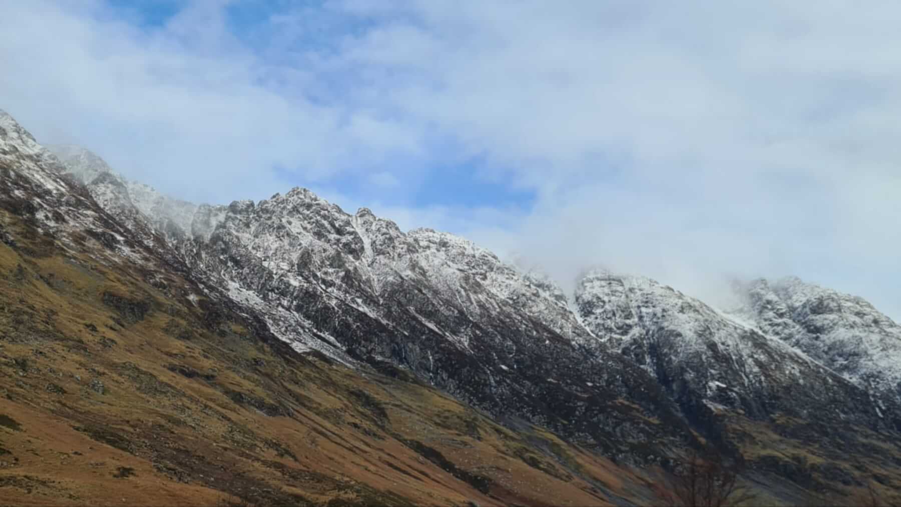
Blue sky with some moody low cloud over the Aonach Eagach Ridge, mainly a cosmetic dusting from today’s snowfall
Comments on this post
Got something to say? Leave a comment


