Remaining mild, some hope midweek.
17th February 2024
Another mild day today, with the snowpack thawing at lower elevations, but surviving at higher elevations on the mountain. The avalanche hazard remains Low, and there is little change in the forecast for the weather over the next 24 hours. Most extensive snow patches are found on North to East aspects above 900 metres.
There is some hope for more seasonally colder conditions later in the week, and some weather / temperature graphs, at the bottom of this blog, show this forecast.
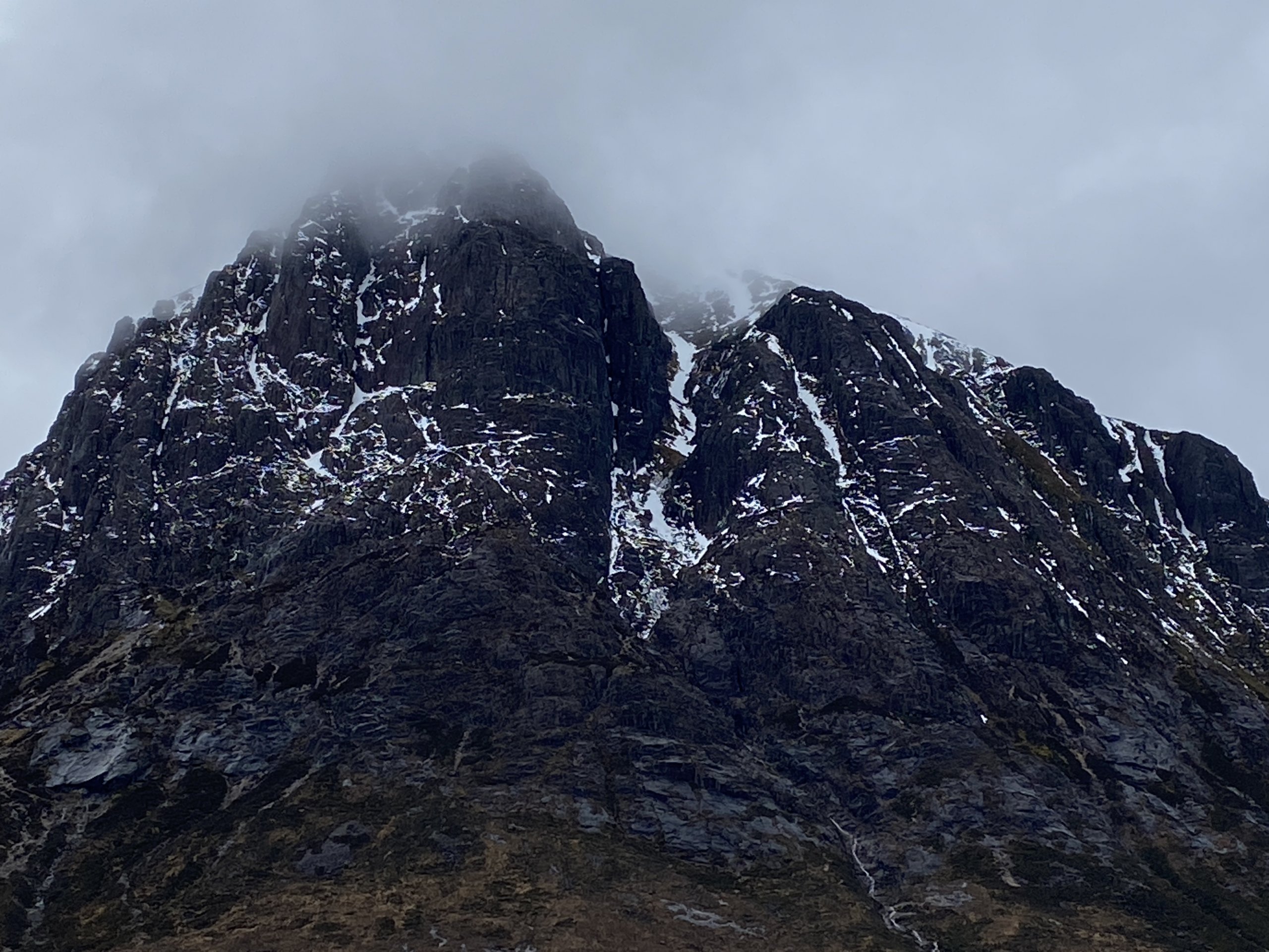
Stob Dearg North aspect.
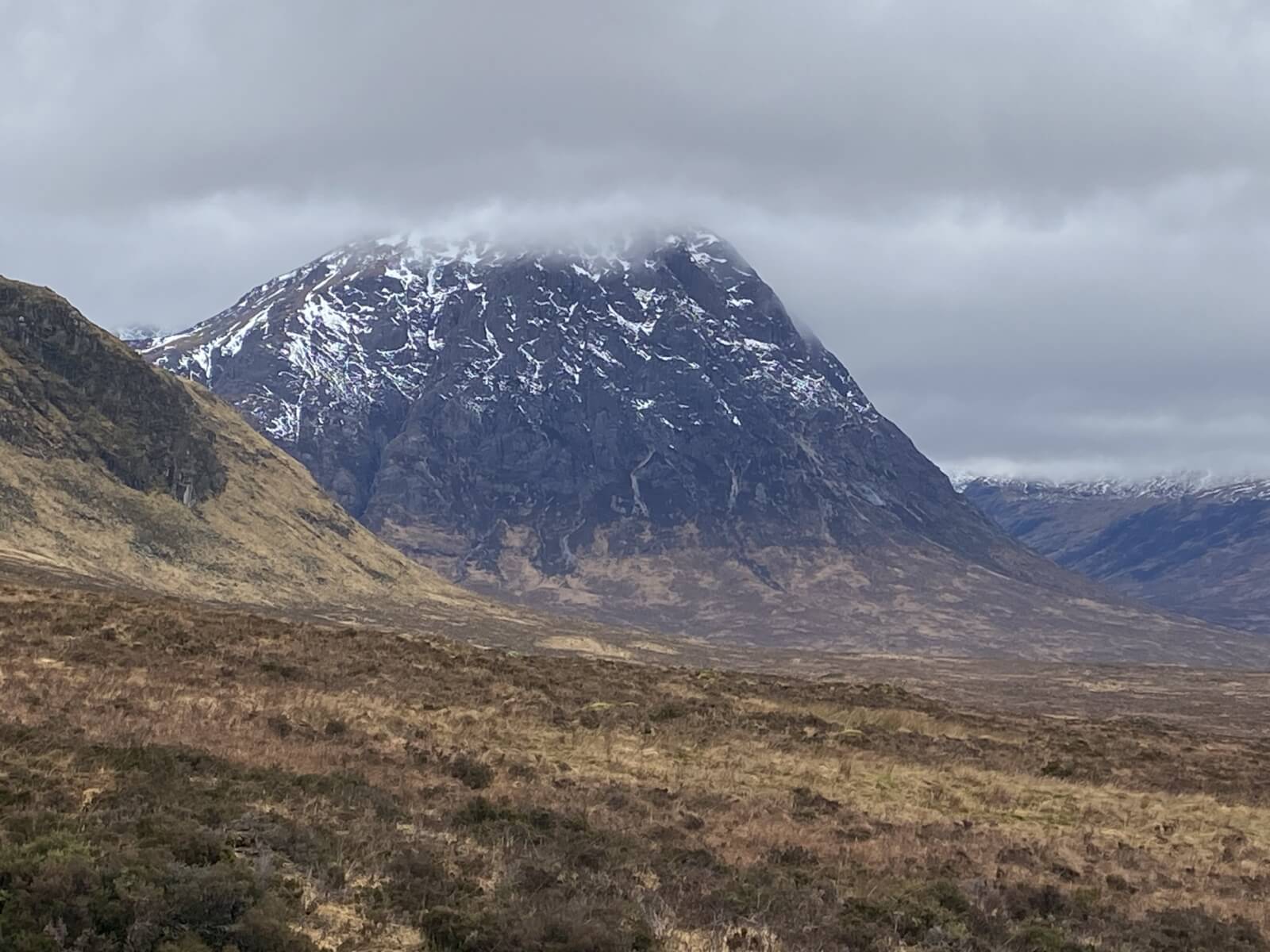
Stob Dearg’s East face.
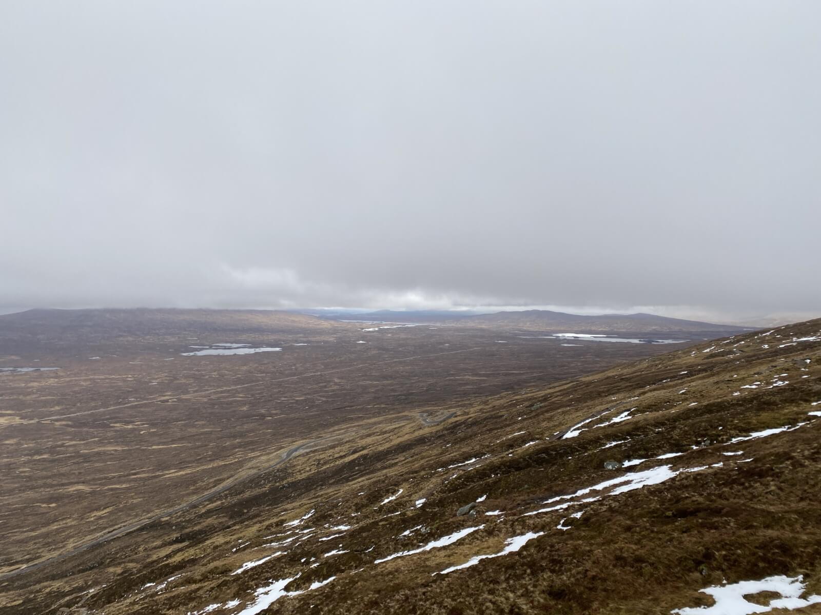
Blanket low cloud across Rannoch Moor.
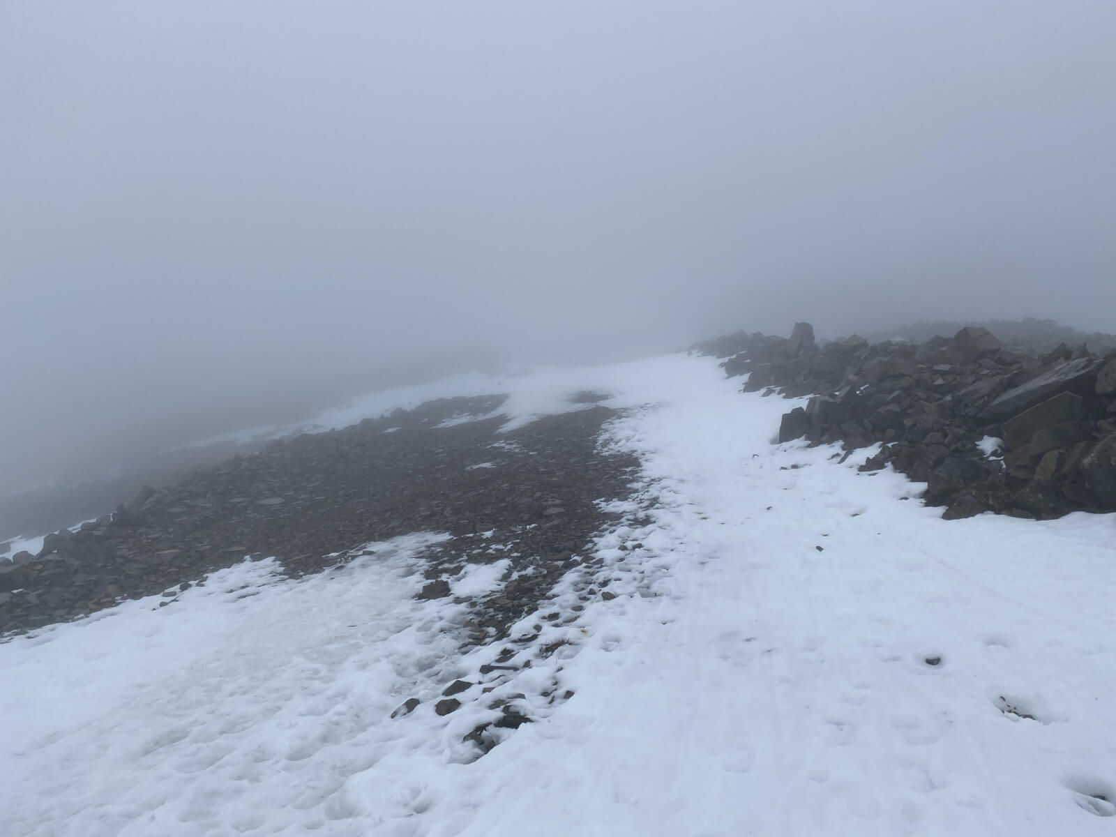
Ski track to …. mmm… let’s see!
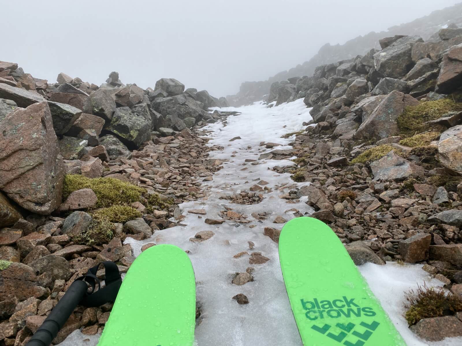
Ah… that’s where.. Maybe I should have brought my Scottish skis today !
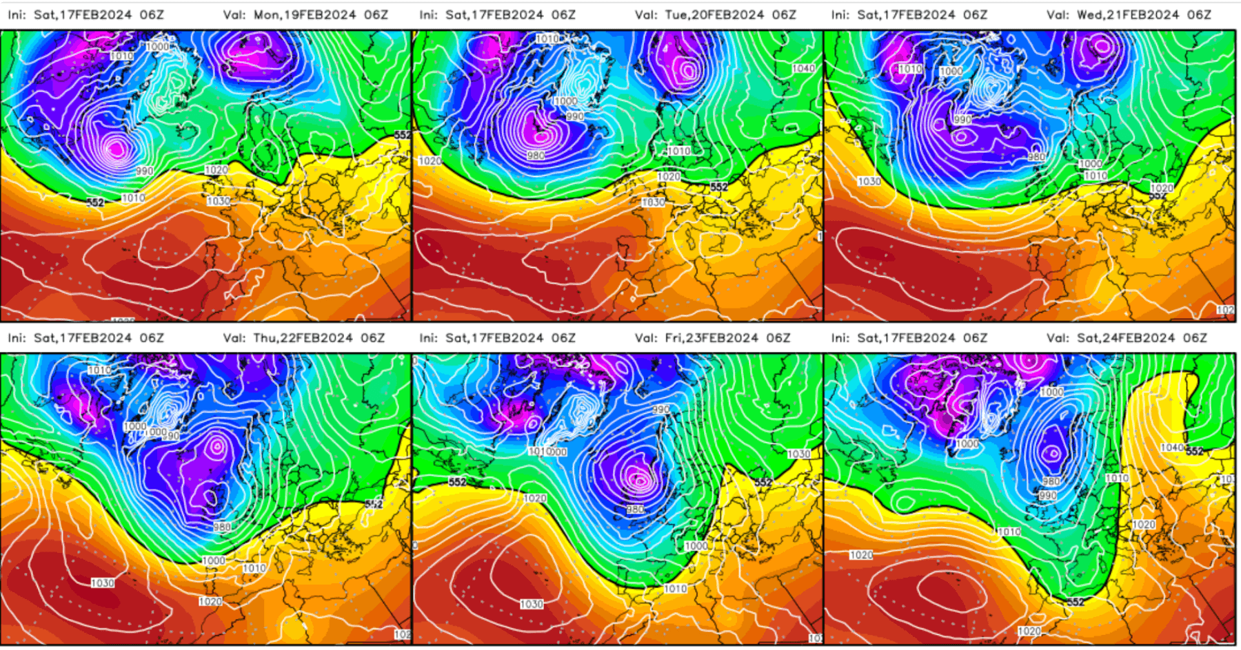
Looking ahead to this coming week. Forecast shows colder temperatures to come, with the polar Rossby waves sending us some Winter weather. Graphs courtesy of Wetterzentrale.
Comments on this post
Got something to say? Leave a comment