Very wet and windy.
5th February 2024
Mild conditions with heavy persistent rain have affected the area. The snowpack has reduced at lower levels. Greatest accumulations remain in the higher Northerly and Easterly corries. There will be a return to colder conditions overnight with only a trace of new snow expected. The snowpack will start to refreeze and may become firm and icy in exposed locations. Isolated pockets of windslab may form in wind sheltered locations but should be mainly avoidable.
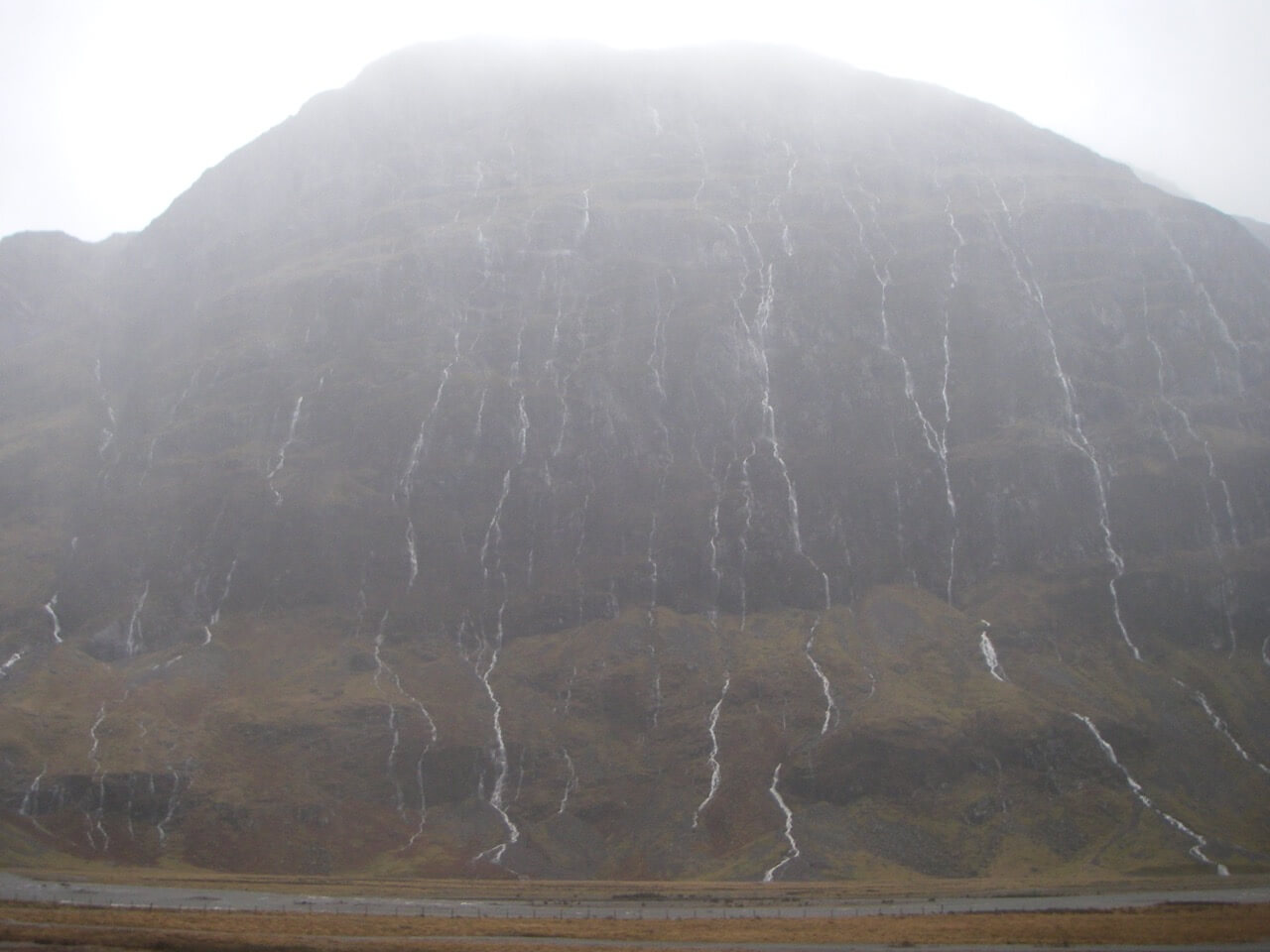
North Face of Aonach Dubh.
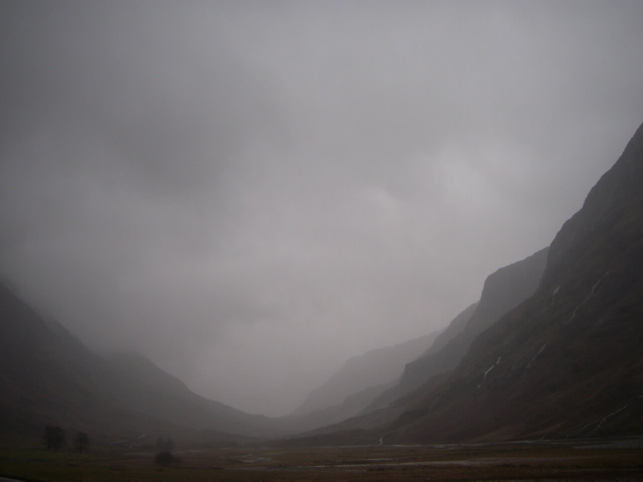
Rain soaked Glen Coe.
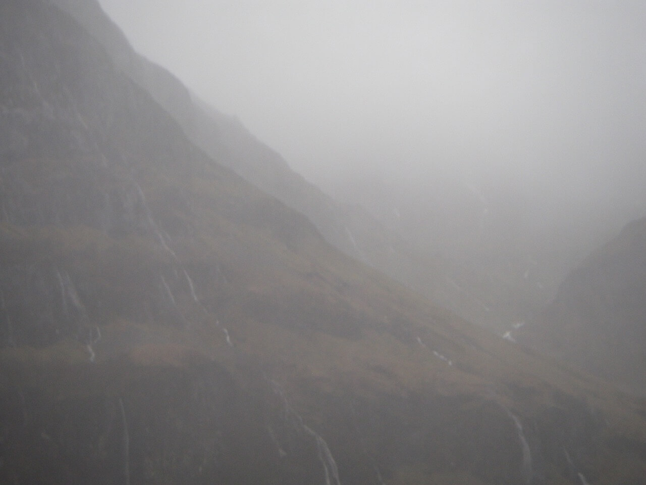
Looking into Coire nam Beith.
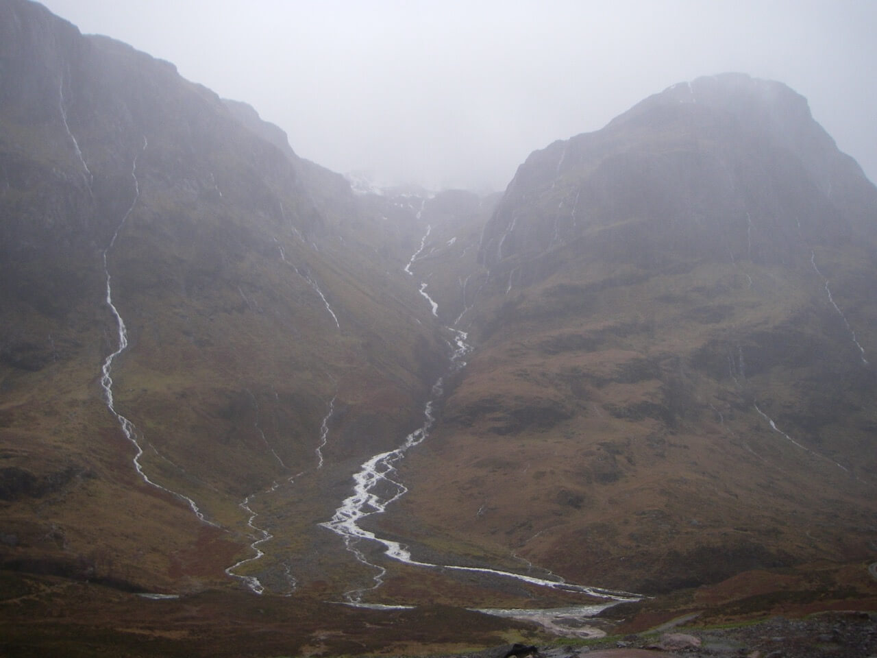
Looking into Coire nan Lochan.
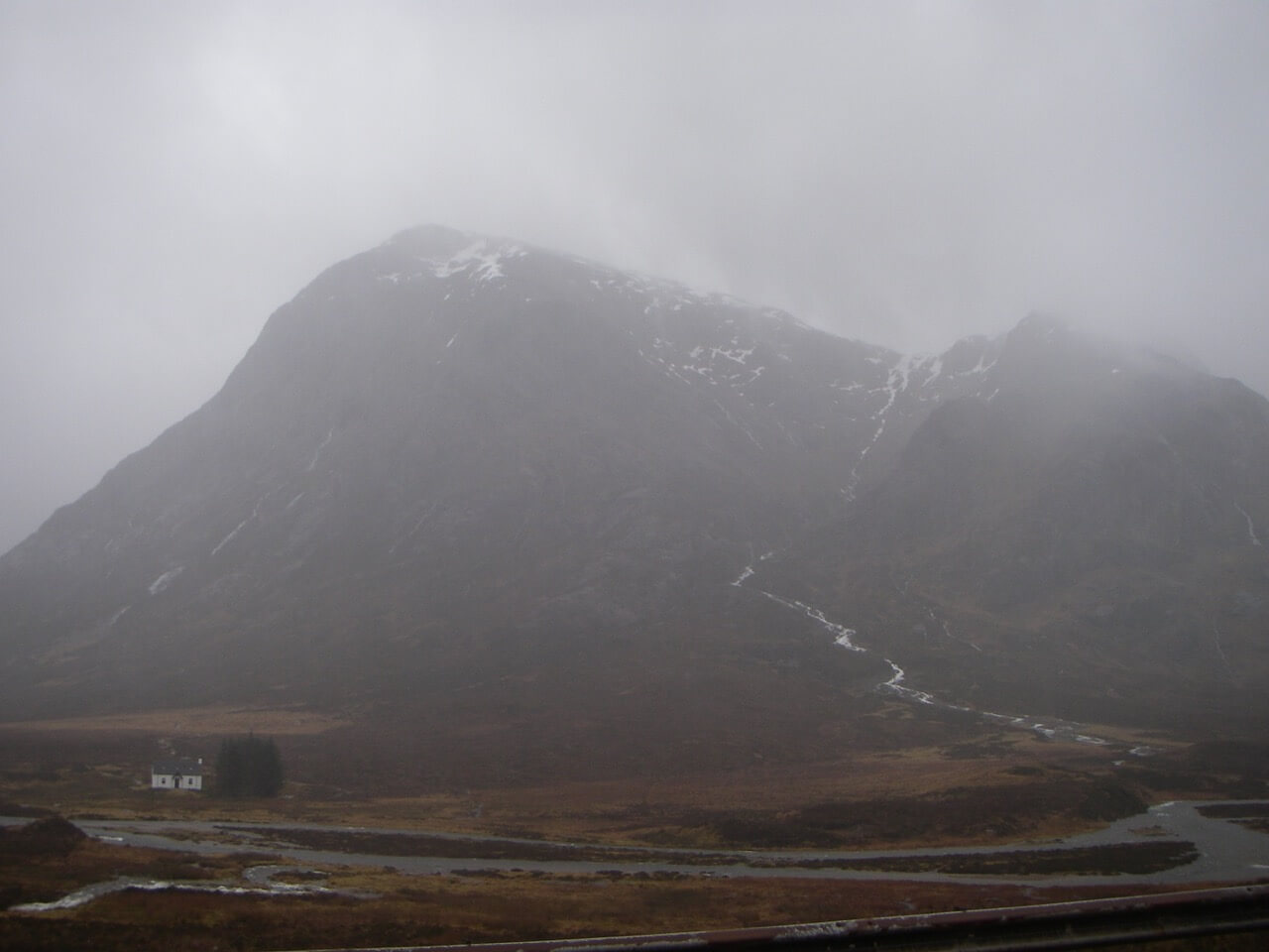
Stob Dearg (left) Buachaille Etive Mor
Comments on this post
Got something to say? Leave a comment