Return to Winter
22nd March 2024
Today was quite a return back to wintery conditions with hill snow and strong winds. Frequent and intense snow showers above 650m blown in on gale force westerly winds brought challenging conditions up high with drifting and poorly bonded windslab forming in sheltered locations. The old existing wet snowpack had become hard and frozen, scoured where it was exposed to the wind.
Further snow showers and strong winds continue throughout the next forecast period. Areas of windslab will continue to build and become more widespread, increasing the avalanche hazard.
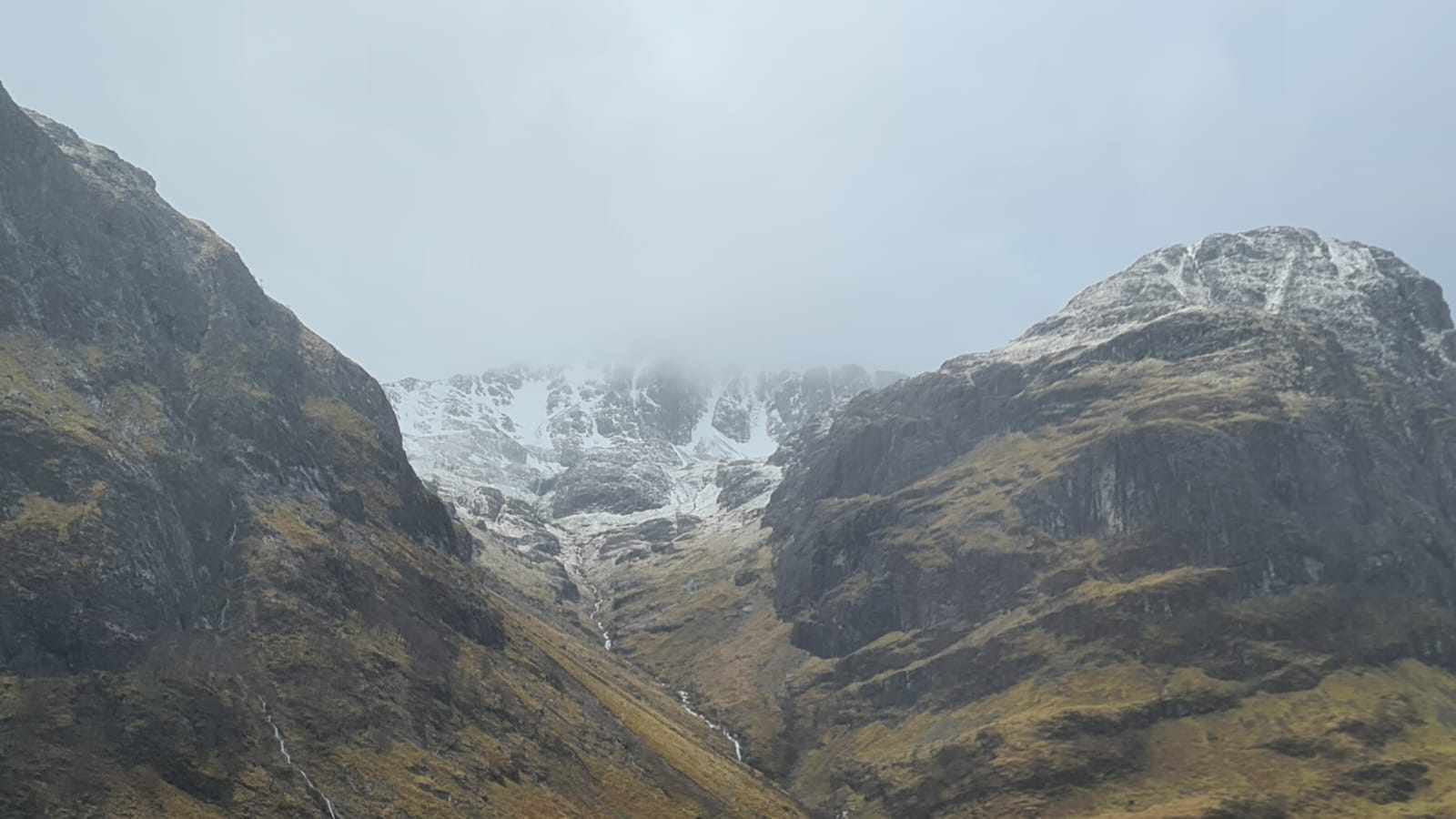
Views into Coire nan Lochan whilst heading up the Glen this morning, obviously new snow but with further showers and strong winds continuing through the day.
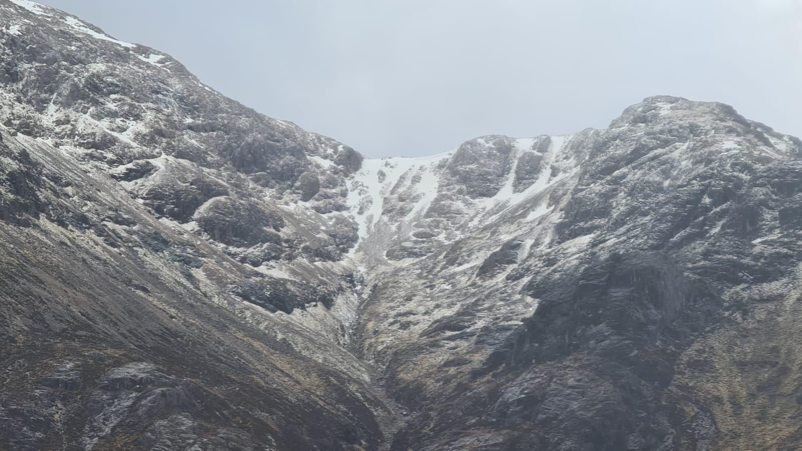
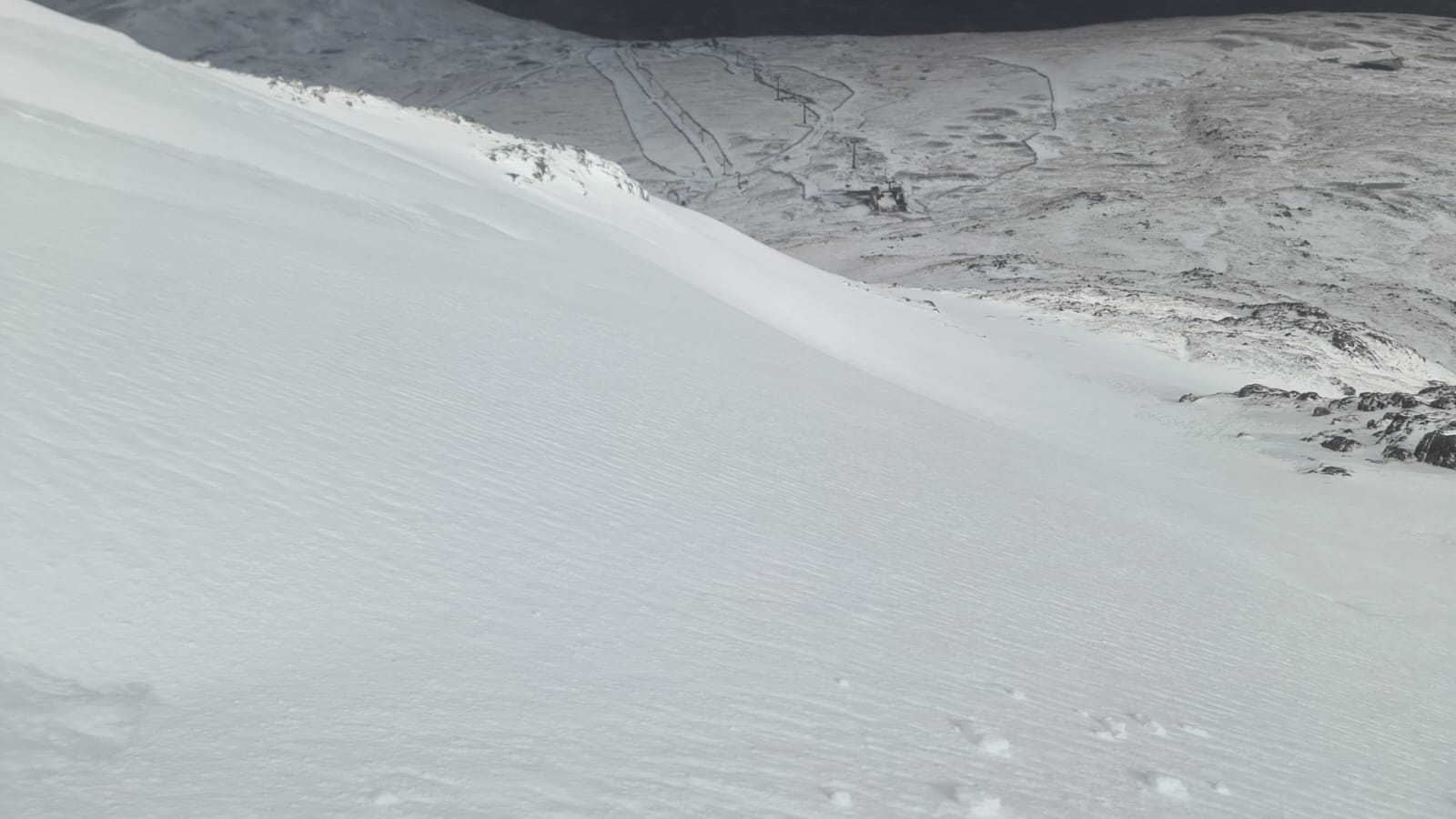
The head wall of Coire na Tulaich.
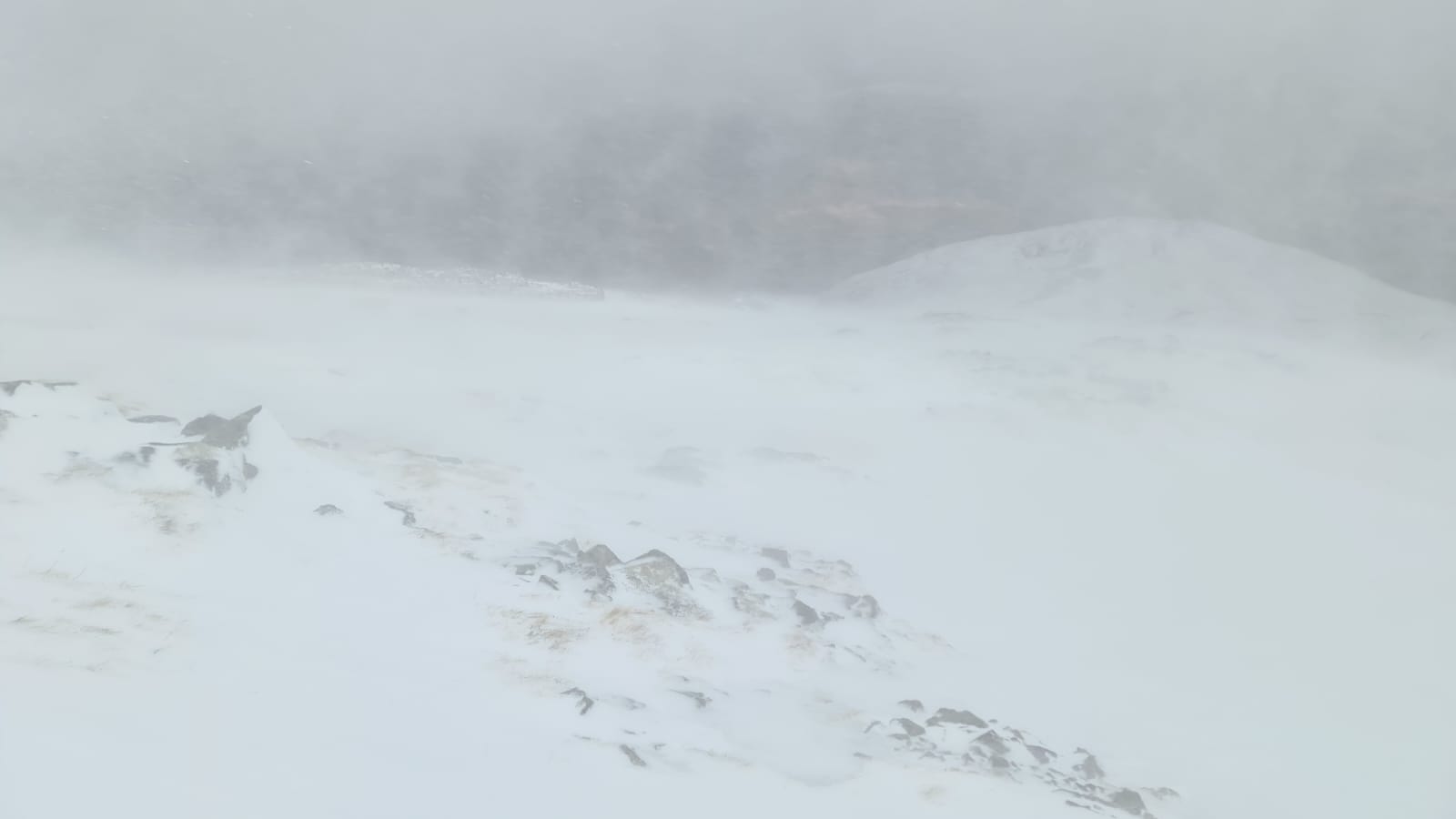
Considerable redistribution of snow, especially during showers. North aspect Meall a Bhuiridh.
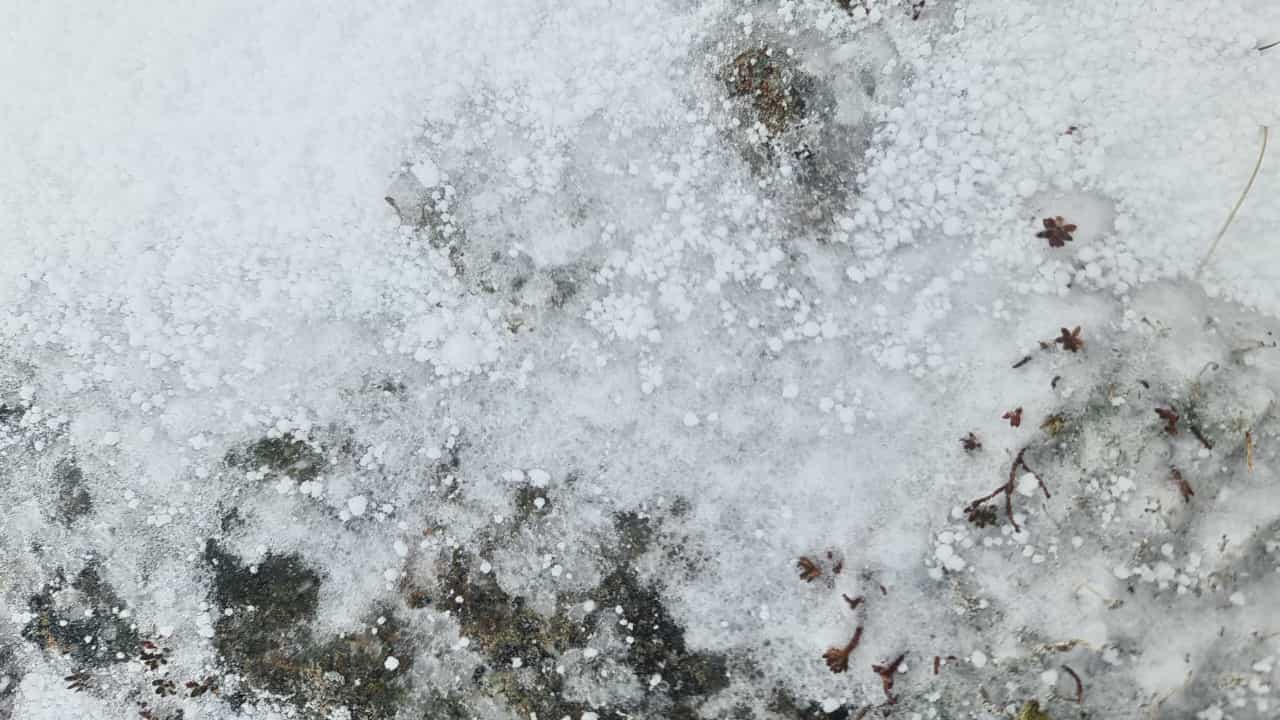
Lots of graupel being blown around and within the snowpack.
Localised areas of windslab building through the day and continuing overnight and through Saturday.
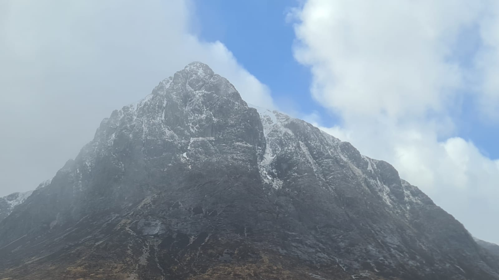
A brighter spell between showers.
Comments on this post
Got something to say? Leave a comment