Light new snow accumulations….
23rd January 2025
Partly dry this morning but precipitation mainly started at around 11am, this fell as light snow mostly above 400 metres. Winds were moderate to strong from a Southerly direction and the freezing level was around 500 metres. A lot more snow is forecast for tomorrow accompanied by storm force winds possibly even hurricane force, blizzard conditions with severe wind chill.
The Westerly aspect of Aonach Dubh and An t Sron early this morning before new snow affected the area.

Aonach Eagach Ridge.
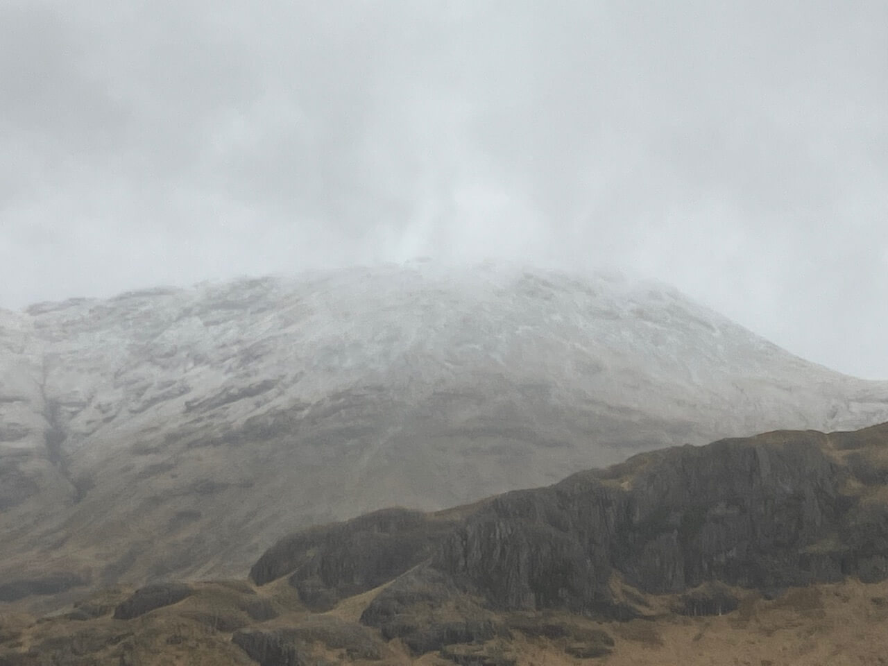
Meall a’ Bhuiridh this morning.
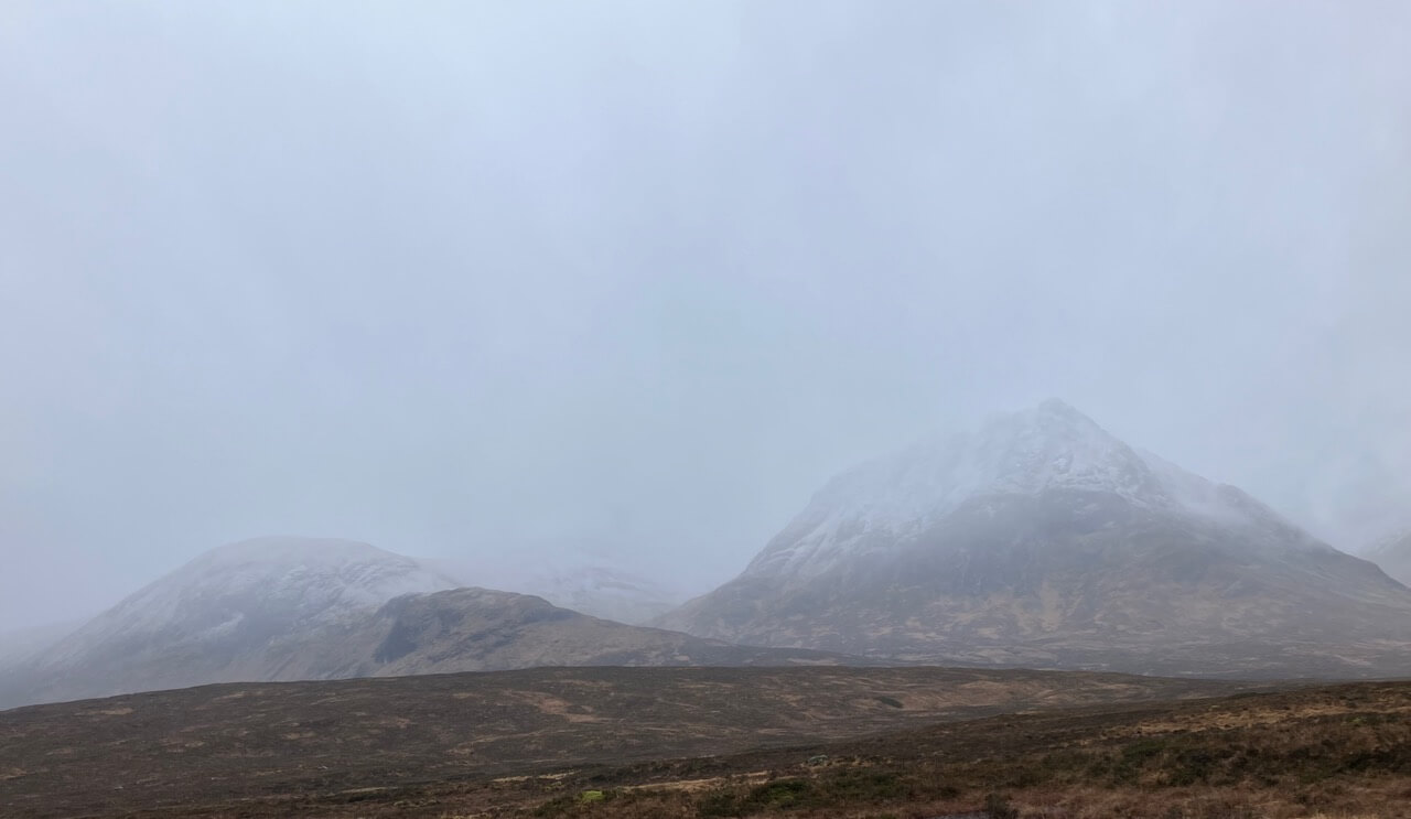
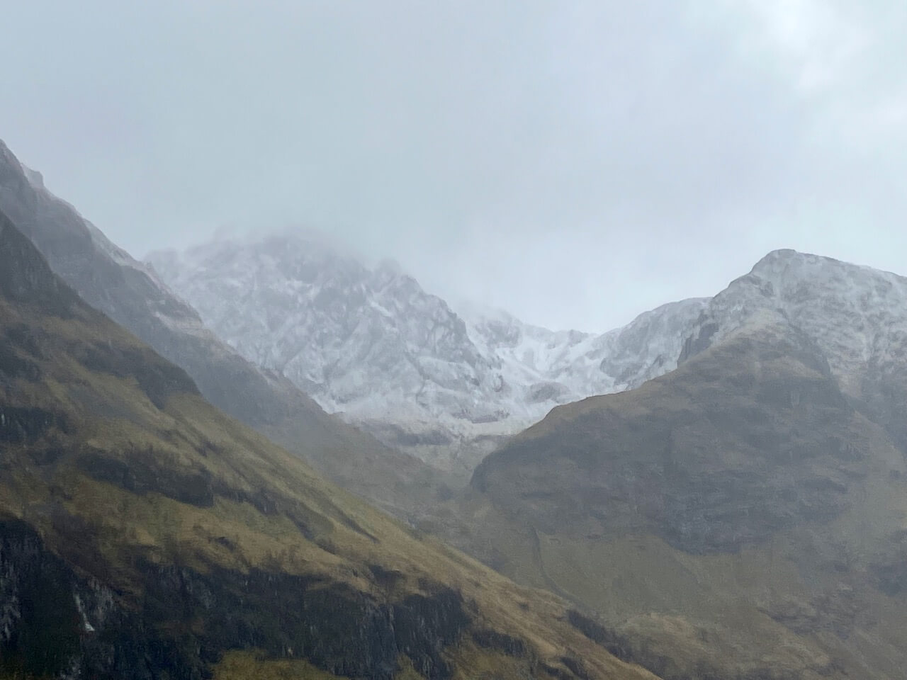
Meall a’ Bhuiridh and Creise
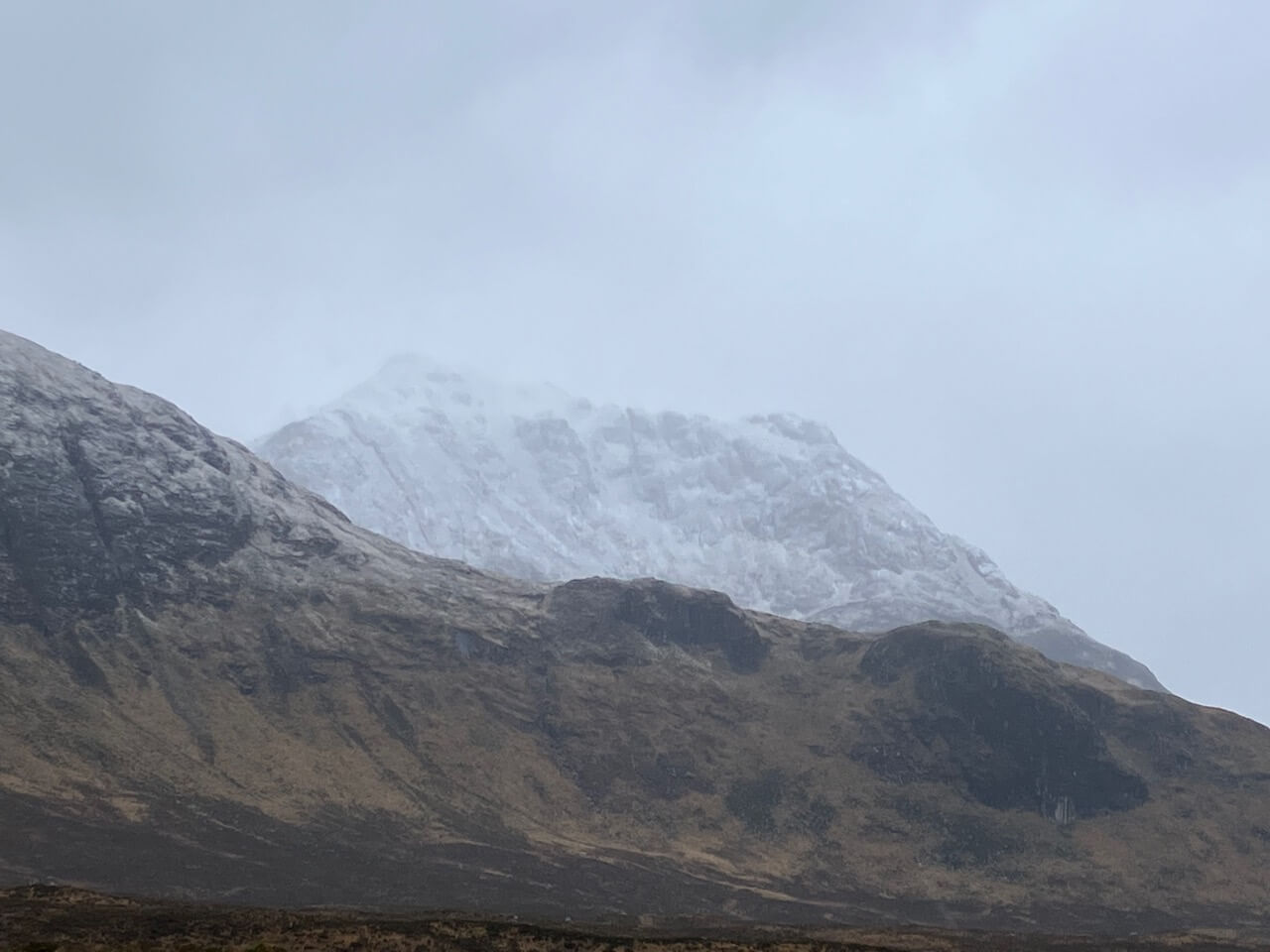
Northerly aspect of Creise
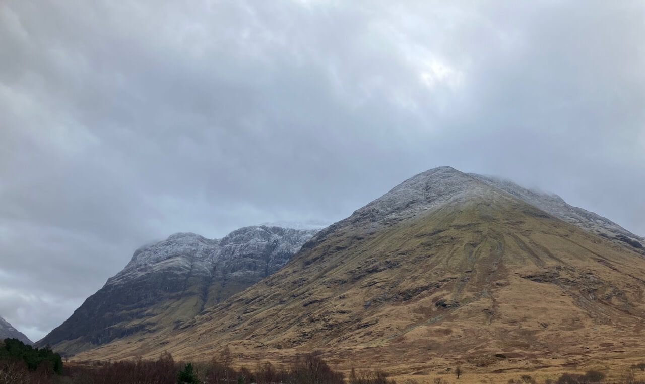
Stob Coire Raineach – Buachaille Etive Beag.
Stob Coire nam Beith.
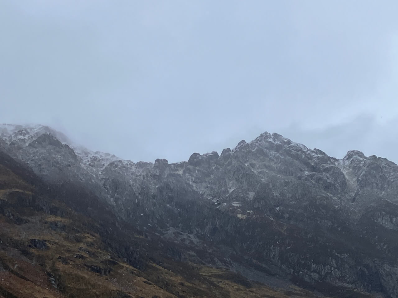
Centre part of the Aonach Eagach Ridge.
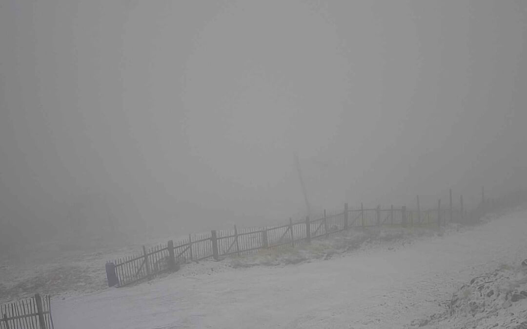
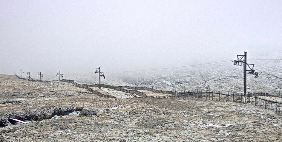
The general visibility today, this was at around 670 metres.
Comments on this post
Got something to say? Leave a comment


