Warm and sunny today….. a deluge tomorrow!
26th March 2025
It was a fine spring day, some clouds lingered at times over the higher summits. Dry conditions prevailed with strong South-Westerly winds at high elevations, the temperature @ 1185 metres was plus 7 degrees celsius about midday. Tomorrow looks like a completely different picture with around 29 mm of rain expected to fall. The rain is due to start late this evening continuing through the day accompanied by strong South-Westerly winds (get your Goretex garments ready). The freezing level will be well above the summits for most of the period but falling to around 1200 metres towards late afternoon, this may give a light dusting of snow above 1000 metres.
https://www.gore-tex.com/en_uk/technology/new-products
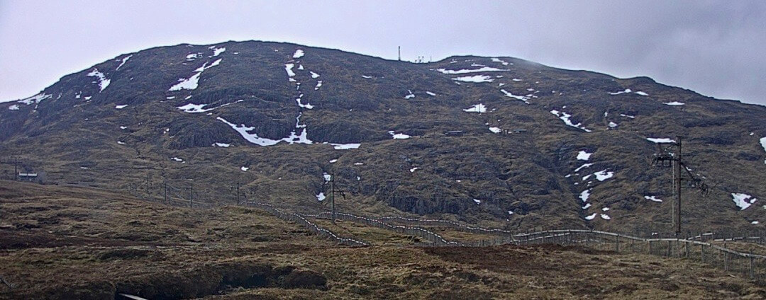
The few remaining patches of snow on Meall a’ Bhuiridh, tomorrow with rain forecast these will diminish further.
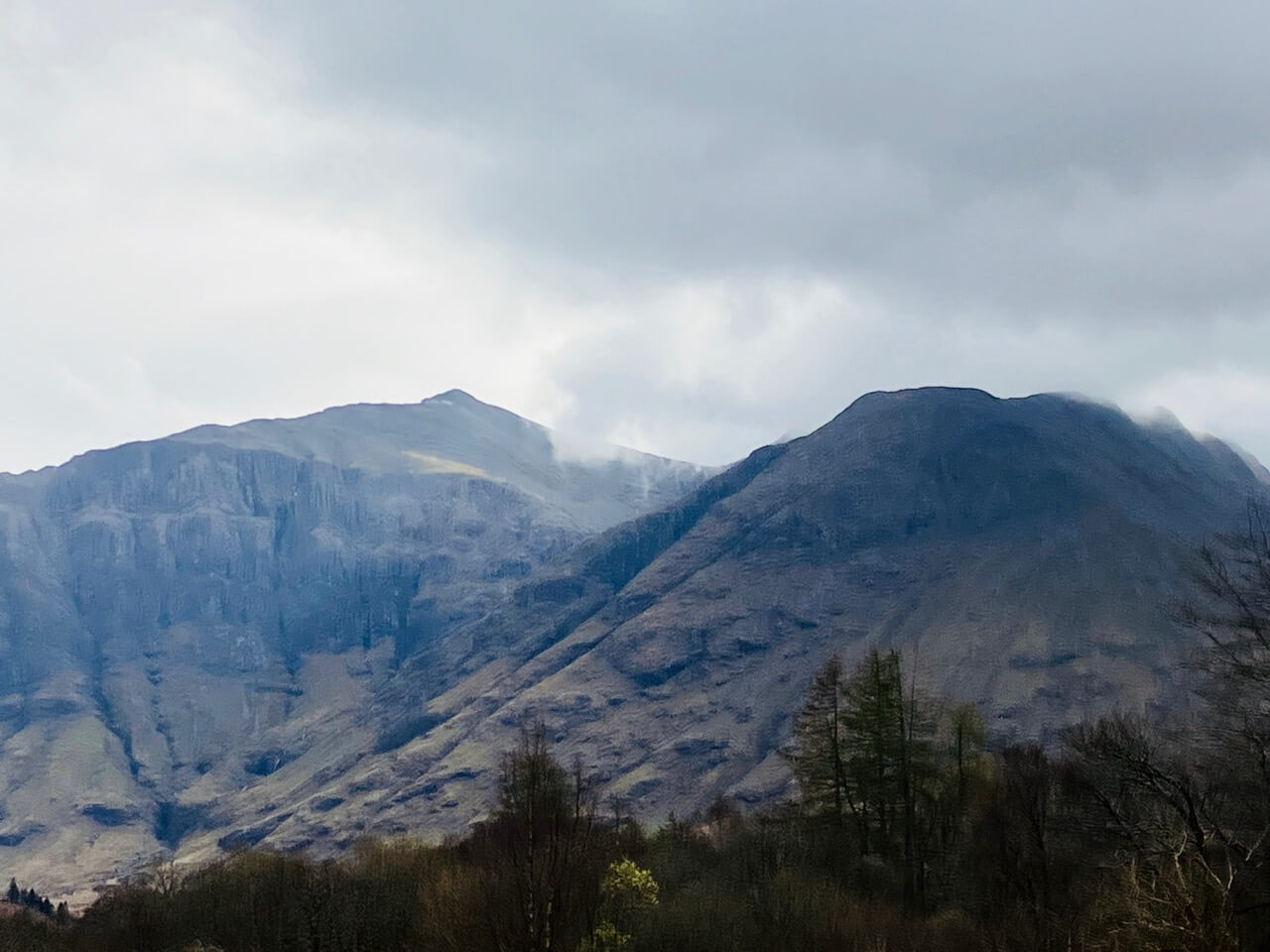
The summit of Stob Coire nan Lochan this morning, snow can just be seen on the rim of the northerly aspect at around 1000 metres. An t-Sron is on the right.

Northerly aspect of Stob Coire nan Lochan the longish strip of snow in in Broad Gully.
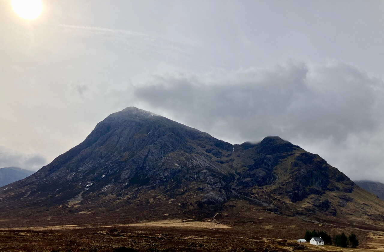
Stob Dearg ~ Buachaille Etive Mor. A thin strip of snow still holding on at the head of Coire na Tulaich.
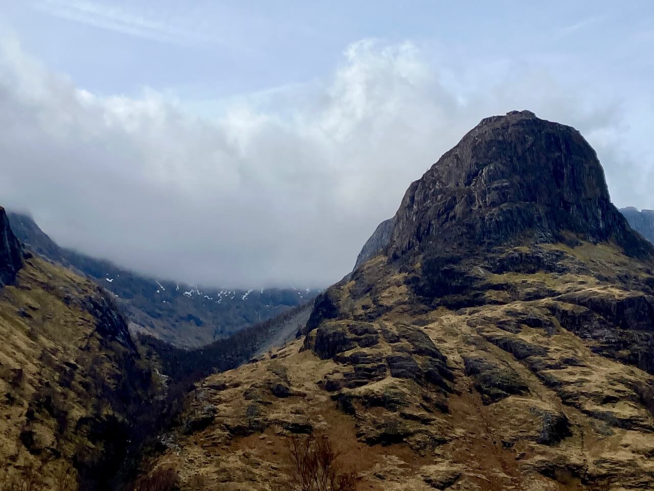
Snow patches still dotted around the head of Coire Gabhail (the lost valley).

Stob Coire nam Beith nearly devoid of all snow, however great patches of snow are still present on Bidean higher up in the upper coire.
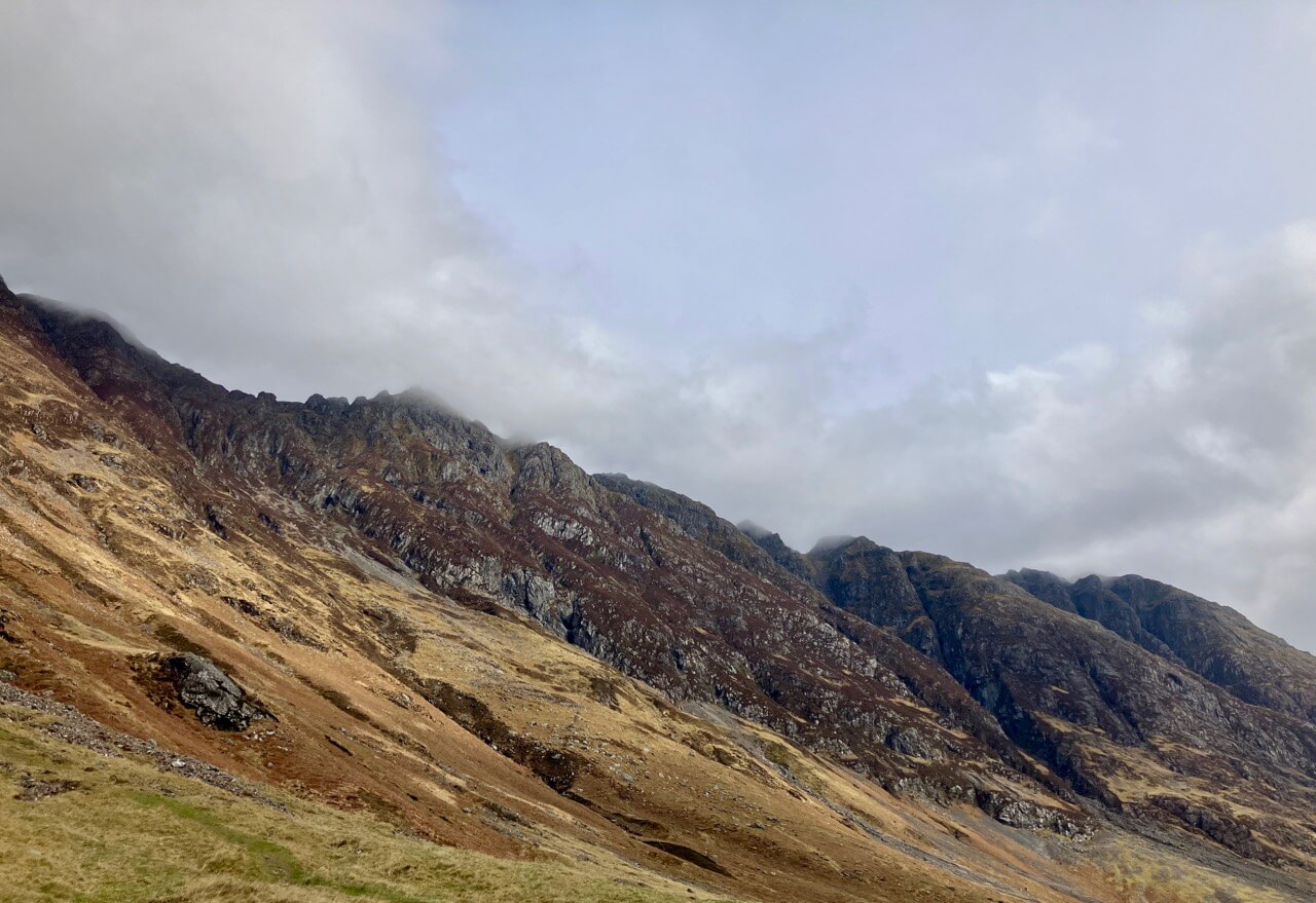
The Aonach Eagach ridge.
Spring is certainly evident in and around the hills.


Comments on this post
Got something to say? Leave a comment


