Before the rain and strengthening winds took effect.
13th December 2025
Last night another dusting of new snow fell mainly above 1000 metres these accumulations are not significant. The approaching mild conditions will quickly thaw these new snow deposits and especially as rain started to affect the area before midday. The winds were South-Westerly fresh at first and increased to strong by midday. The freezing level was around 11oo metres this morning but was rising to become above all Glencoe summits in the afternoon.
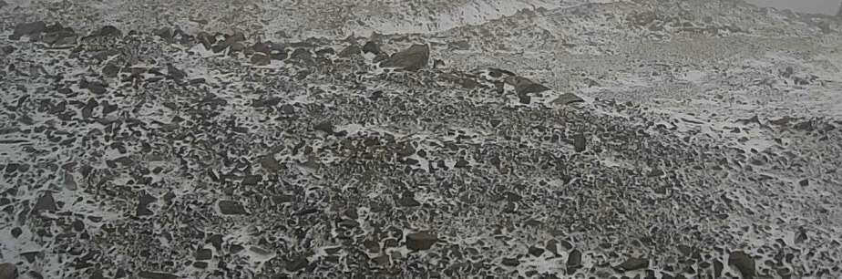
The light dusting of new snow around 1100 metres on Northerly aspects early this morning.
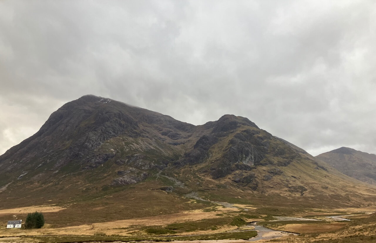
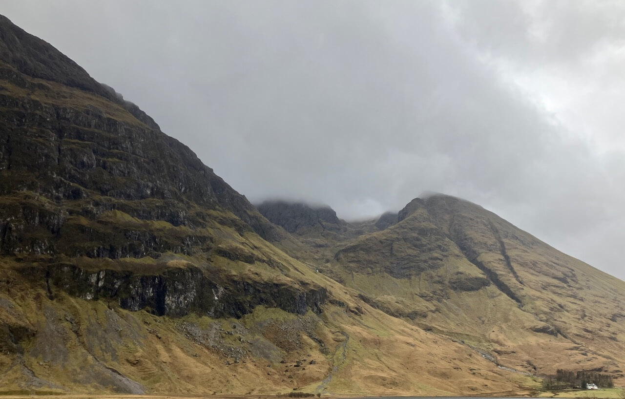
Stob Dearg – Buachaille Etive Mor from Altnafeadh, note the patches of remaining snow near the summit.
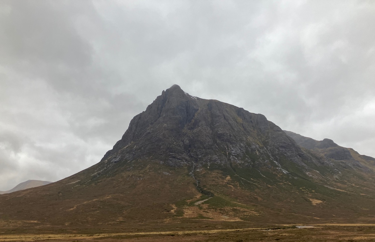
Northerly aspect of Stob Dearg, again note the same patches of snow at the top of Great Gully.
The summit of Meall a’ Bhuirdh covered with cloud with Sron na Creise on the right.
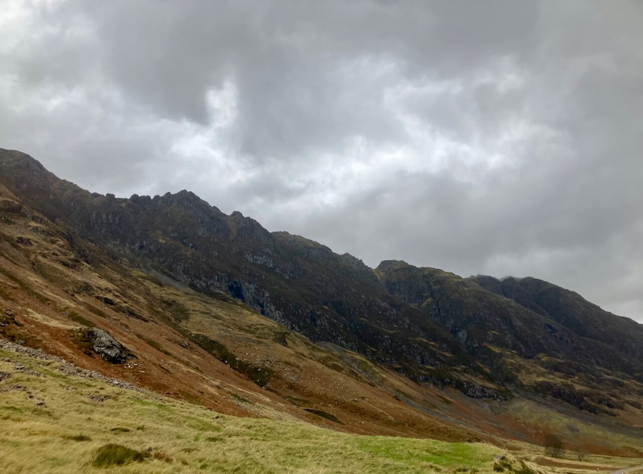
Looking into Stob Coire nam Beith with An-t-Sron on the right.
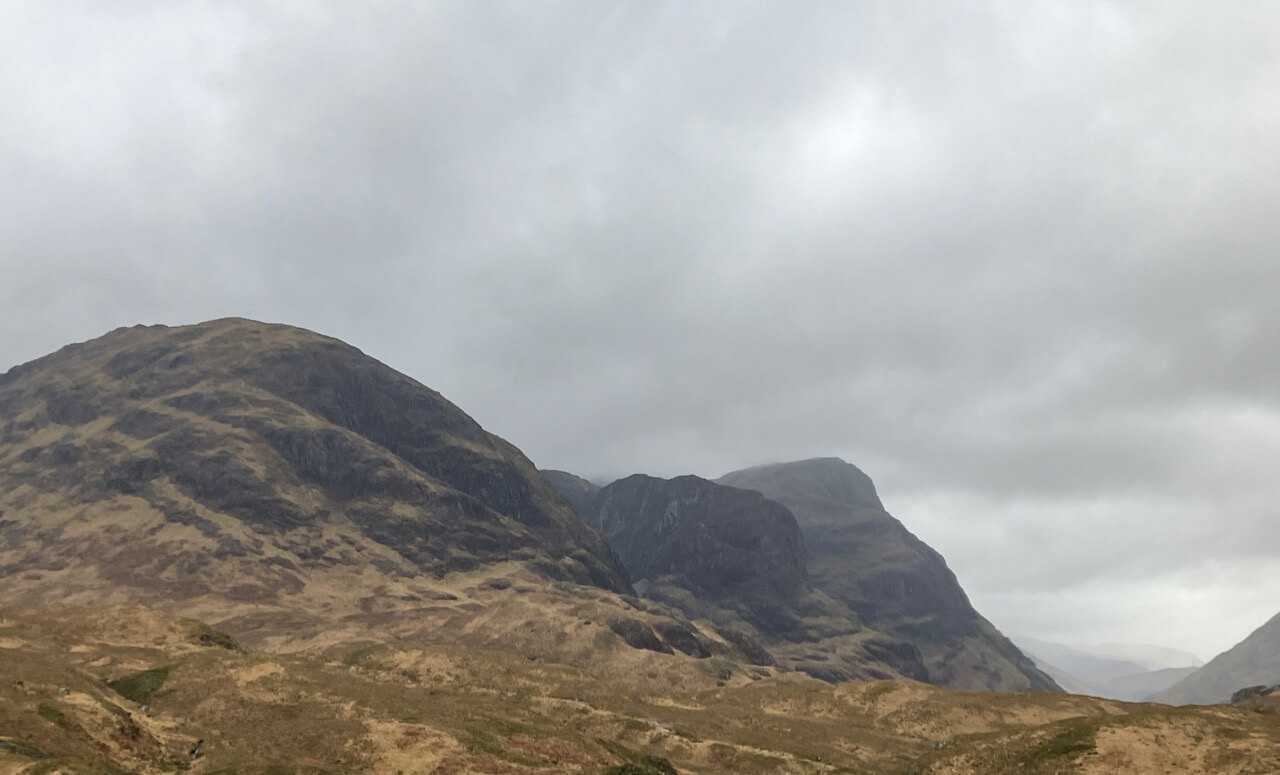
The Aonach Eagach ridge.
The Sister’s of Glencoe.
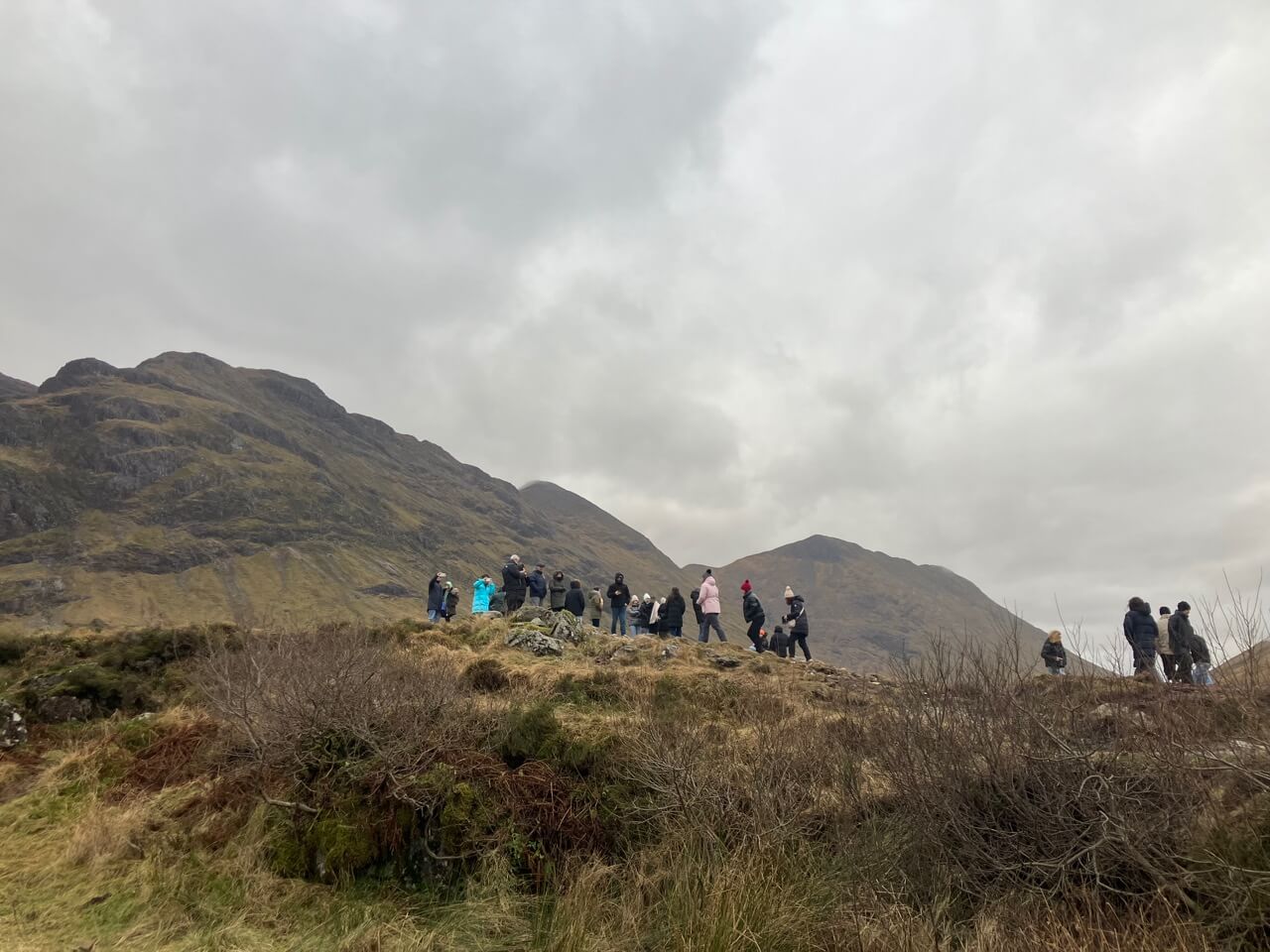
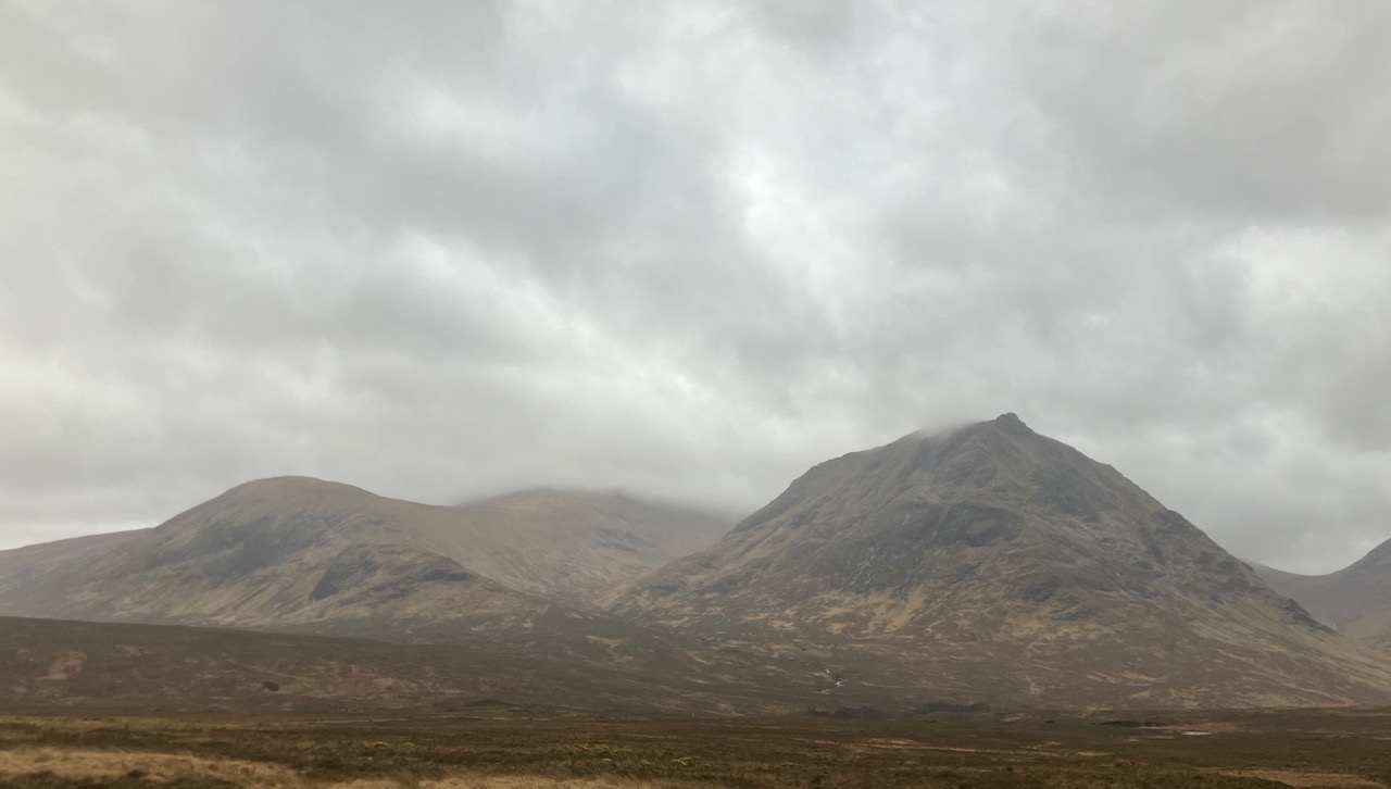
The few tourist enjoying the brief clear and dry conditions first thing this morning before the rain set in. Buachaille Etive Mor hills behind them.
Comments on this post
Got something to say? Leave a comment