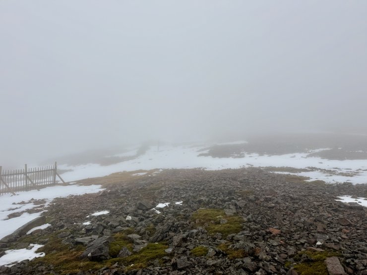
Low cloud and drizzle
23rd December 2025
Drizzle and mild temperatures meant thaw conditions are continuing in Glencoe. Thick cloud above and poor visibility above around 700 metres limited photo opportunities today. However the snow patch photos are from similar locations to yesterday and show some snow loss over the last 24 hours.
The weather is due to improve as high pressure builds from Wednesday, this is will bring drier, brighter and colder conditions. Remaining snow patches will begin to refreeze in the drier colder conditions. Largest areas will remain in gullies and around coire rims on North to East aspects above 950 metres.

South facing slopes at the summit of Meall a’ Bhuiridh holding only a few very small patches of snow.

This is one of the larger patches of snow at lower elevations on a North-East aspect at 930 metres on Meall a’Bhuiridh

The threee sisters of Glencoe, the cloud remained at this height most of the day so it wasn’t possible to see how much snow remained in the higher corries here today.

The more coastal hills of the Ballachulish horseshoe had the highest cloud level. Sgurr Dhonuill on the right Sgorr Dhearg on the left. I did see glimpses of patches of snow round the Coire rim of Sgurr Dhonuill.
Comments on this post
Got something to say? Leave a comment


