Snow showers and strong winds.
19th December 2025
Last night heavy precipitation affected the area this fell as snow down to around 700 metres but with the greatest accumulations being mainly above 950 metres due to fluctuation in the freezing levels. Today the showers were not quite so heavy but they fell as snow mainly above 800 metres and were accompanied by very strong to gale force South-Westerly winds. The freezing level was around 850 metres and slowly climbed to nearly 1050 metres by this afternoon.
Shallow areas of poorly bonded windslab have formed mainly on North to Easterly aspects above 950 metres. Corrie rims and sheltered gully exits are particularly affected. Fragile cornices are also developing above similar aspects.
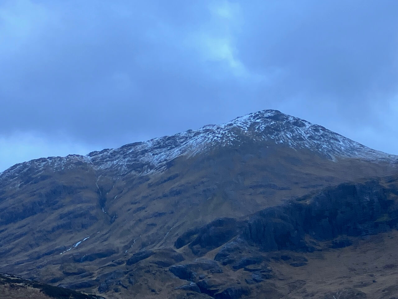
Stob coire Raineach with a light cover of new snow.
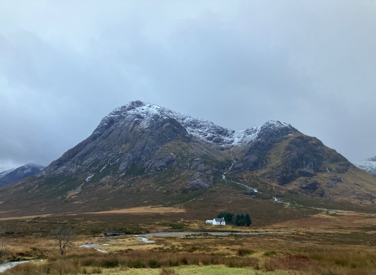
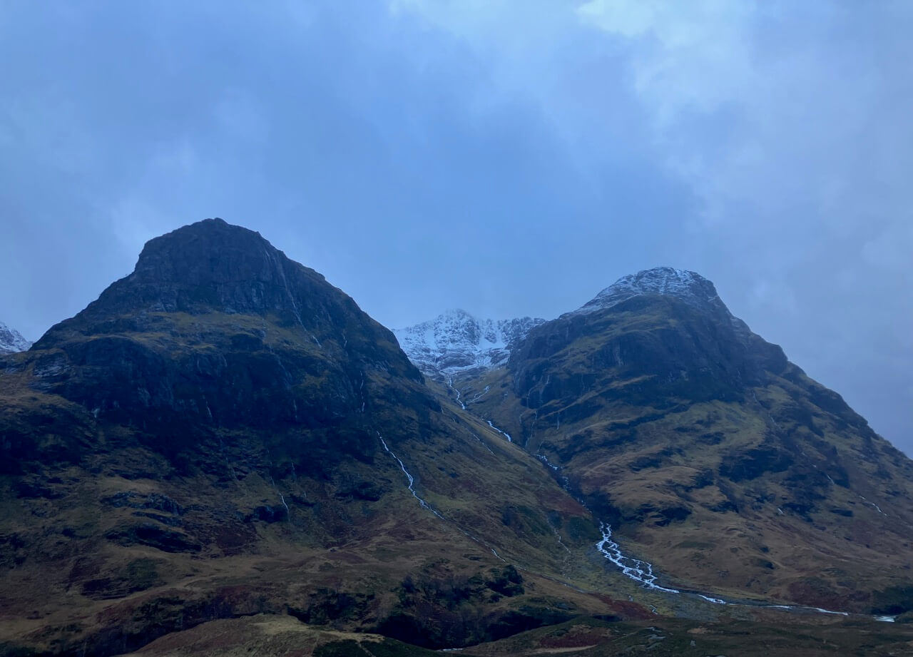
Stob Dearg – Buachaille Etive Mor.
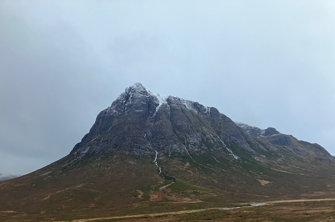
Northerly aspect of Stob Dearg.
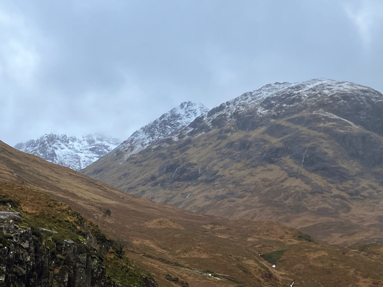
Looking into Lairig Eilde with the high peak of Stob Coire Sgreachach and the Beinn Fhada.
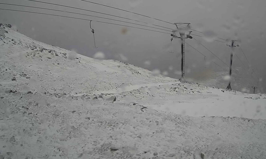
Near the summit of Meall a’ Bhuiridh at around 1100 metres.
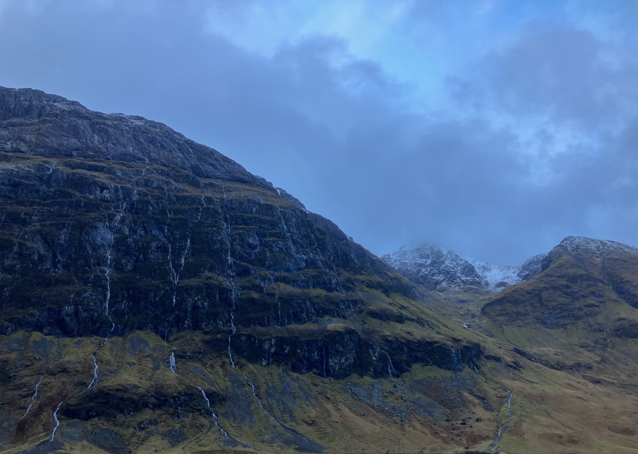
Rivulets of water running down the North face of Aonach Dubh in the foreground. Looking into Stob Coire nam Beith on the right.
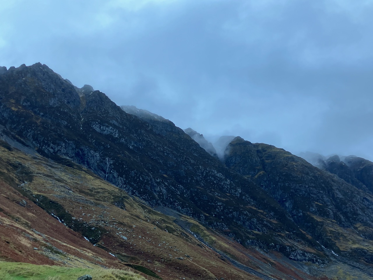
Centre part of the Aonach Eagach ridge.

Western end of the Aonach Eagach ridge, more snow exists on the north of the ridge.
Looking into Stob Coire nan Lochan.
Comments on this post
Got something to say? Leave a comment